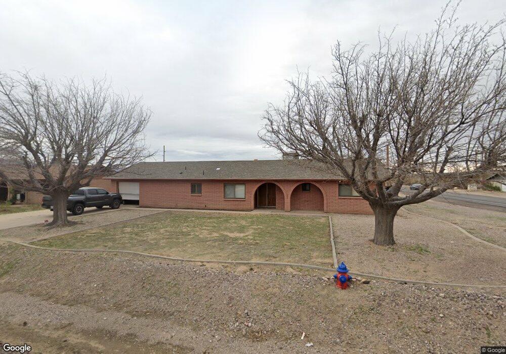
2571 S 12th Ave Safford, AZ 85546
Estimated Value: $278,100 - $337,000
--
Bed
--
Bath
1,792
Sq Ft
$172/Sq Ft
Est. Value
About This Home
This home is located at 2571 S 12th Ave, Safford, AZ 85546 and is currently estimated at $307,775, approximately $171 per square foot. 2571 S 12th Ave is a home located in Graham County with nearby schools including Dorothy Stinson School, Ruth Powell Elementary School, and Lafe Nelson School.
Ownership History
Date
Name
Owned For
Owner Type
Purchase Details
Closed on
Feb 13, 2018
Sold by
Stahl Valerie A
Bought by
Thomas Richard G and Thomas Sharen D
Current Estimated Value
Purchase Details
Closed on
Dec 3, 2008
Sold by
Stahl Valerie A and Stahl Justin Michael
Bought by
Stahl Valerie A
Home Financials for this Owner
Home Financials are based on the most recent Mortgage that was taken out on this home.
Original Mortgage
$127,000
Interest Rate
6.03%
Mortgage Type
New Conventional
Purchase Details
Closed on
May 4, 2006
Sold by
Hoisington Barton D and Olsen Valerie A
Bought by
Olsen Valerie A
Home Financials for this Owner
Home Financials are based on the most recent Mortgage that was taken out on this home.
Original Mortgage
$112,000
Interest Rate
6.52%
Mortgage Type
New Conventional
Create a Home Valuation Report for This Property
The Home Valuation Report is an in-depth analysis detailing your home's value as well as a comparison with similar homes in the area
Home Values in the Area
Average Home Value in this Area
Purchase History
| Date | Buyer | Sale Price | Title Company |
|---|---|---|---|
| Thomas Richard G | $156,000 | Stewart Title & Trust | |
| Stahl Valerie A | -- | Chicago Title Insurance Co | |
| Olsen Valerie A | -- | None Available |
Source: Public Records
Mortgage History
| Date | Status | Borrower | Loan Amount |
|---|---|---|---|
| Previous Owner | Stahl Valerie A | $127,000 | |
| Previous Owner | Olsen Valerie A | $112,000 |
Source: Public Records
Tax History Compared to Growth
Tax History
| Year | Tax Paid | Tax Assessment Tax Assessment Total Assessment is a certain percentage of the fair market value that is determined by local assessors to be the total taxable value of land and additions on the property. | Land | Improvement |
|---|---|---|---|---|
| 2026 | $968 | -- | -- | -- |
| 2025 | $968 | $21,534 | $1,827 | $19,707 |
| 2024 | $1,006 | $20,122 | $1,827 | $18,295 |
| 2023 | $1,006 | $16,214 | $1,827 | $14,387 |
| 2022 | $988 | $14,509 | $1,827 | $12,682 |
| 2021 | $1,090 | $0 | $0 | $0 |
| 2020 | $1,049 | $0 | $0 | $0 |
| 2019 | $1,104 | $0 | $0 | $0 |
| 2018 | $1,050 | $0 | $0 | $0 |
| 2017 | $941 | $0 | $0 | $0 |
| 2016 | $864 | $0 | $0 | $0 |
| 2015 | $789 | $0 | $0 | $0 |
Source: Public Records
Map
Nearby Homes
- 1318 W 26th St
- 1017 W Tucson St
- 1405 W 24th St
- 2555 S 8th Ave
- 8th and Discovery --
- 1808 Mesa Cir
- 0 Star Fire Cir Unit 1719796
- 0 Star Fire Cir Unit 4 22415917
- 0 Star Fire Cir Unit 1719797
- 1906 S Elm Ave
- 832 W Stirrup Dr
- 1879 W Peppertree Dr Unit B2
- 1879 W Peppertree Dr Unit A02
- 1879 W Peppertree Dr Unit A10
- 1879 W Peppertree Dr Unit A01
- 2422 S 1st Ave
- 121 E Montana Way
- 1536 W Cherokee Ln
- 1115 W Relation St
- 0 S 20th Ave Unit no 22325261
- 2549 S 12th Ave
- 2605 S 12th Ave
- 2527 S 12th Ave
- 1302 W 26th St
- 2627 S 12th Ave
- 2505 S 12th Ave
- 1303 W 26th St
- 1186 W Pecan Cir
- 1160 W Pecan Cir
- 2491 S 12th Ave
- 1148 W Pecan Cir
- 1185 W Pecan Cir
- 1108 W Pecan Cir
- 1200 W 27th St
- 1306 W 26th St
- 1208 W 27th St
- 1201 W Chaparral Dr
- 1230 W 27th St
- 1307 W 26th St
- 1219 W Chaparral Dr