2571 Saradan Dr Jackson, MI 49202
Estimated Value: $4,455,994
Studio
5
Baths
85,240
Sq Ft
$52/Sq Ft
Est. Value
About This Home
This home is located at 2571 Saradan Dr, Jackson, MI 49202 and is currently estimated at $4,455,994, approximately $52 per square foot. 2571 Saradan Dr is a home located in Jackson County with nearby schools including Northwest Early Elementary School, Northwest Elementary School, and Northwest Middle School.
Ownership History
Date
Name
Owned For
Owner Type
Purchase Details
Closed on
Apr 15, 2008
Sold by
Stoll Family Llc
Bought by
Jim Pattison Developments Us Inc
Current Estimated Value
Create a Home Valuation Report for This Property
The Home Valuation Report is an in-depth analysis detailing your home's value as well as a comparison with similar homes in the area
Home Values in the Area
Average Home Value in this Area
Purchase History
| Date | Buyer | Sale Price | Title Company |
|---|---|---|---|
| Jim Pattison Developments Us Inc | -- | At |
Source: Public Records
Tax History
| Year | Tax Paid | Tax Assessment Tax Assessment Total Assessment is a certain percentage of the fair market value that is determined by local assessors to be the total taxable value of land and additions on the property. | Land | Improvement |
|---|---|---|---|---|
| 2025 | $49,744 | $1,059,900 | $0 | $0 |
| 2024 | $157 | $1,032,000 | $0 | $0 |
| 2023 | $14,921 | $940,000 | $0 | $0 |
| 2022 | $45,086 | $983,900 | $0 | $0 |
| 2021 | $44,072 | $942,800 | $0 | $0 |
| 2020 | $44,584 | $982,200 | $0 | $0 |
| 2019 | $42,610 | $960,700 | $0 | $0 |
| 2018 | $39,912 | $822,500 | $0 | $0 |
| 2017 | $38,157 | $794,400 | $0 | $0 |
| 2016 | $30,064 | $761,424 | $64,418 | $697,006 |
| 2015 | $37,626 | $752,641 | $752,641 | $0 |
| 2014 | $37,626 | $796,026 | $0 | $0 |
| 2013 | -- | $796,026 | $796,026 | $0 |
Source: Public Records
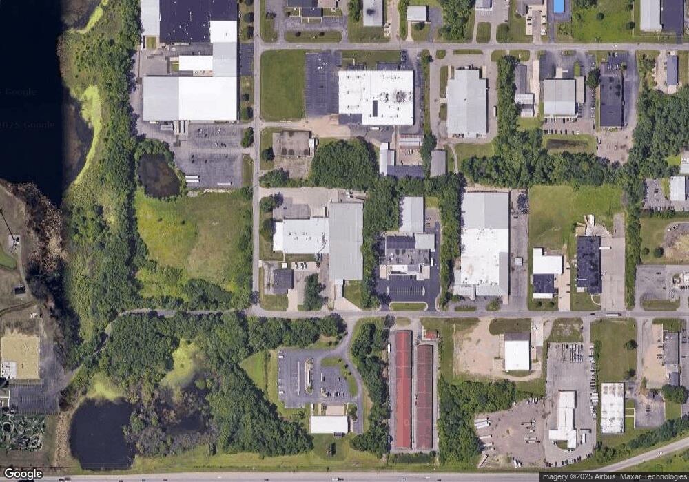
Map
Nearby Homes
- 2375 Windemere Dr
- 4048 Knightsbridge Ln
- 4131 York Ln
- 3828 Idlewild St
- VL Laurence Ave
- 0 VL Laurence Ave
- 2318 Lancaster Blvd
- 1802 W Argyle St
- 534 Barrett Ave
- 3992 Shoreham Dr
- 870 Bryant Ave
- 3995 Sherwood Lakes Blvd
- 0 Laurence Ave Unit 25062864
- 923 Wayne St
- 0 Evelyn St
- 0 Shirley Dr Unit 24064060
- 3363 Buckthorn Cir
- 0 Cummings Rd
- 3635 Hawthorn Dr
- 0 N Brown St
- 3530 Wayland Dr
- 3516 Wayland Dr
- 4315 Wayland Dr
- 3519 Wayland Dr
- 3518 Wayland Dr
- 3514 Wayland Dr
- 3517 Scheele Dr
- 3600 Wayland Dr
- 2588 Airport Rd
- 3241 County Farm Rd
- 3235 County Farm Rd
- 3507 Wayland Dr
- 3195 County Farm Rd
- 3511 Scheele Dr
- 3207 County Farm Rd
- 2600 Airport Rd
- 3201 County Farm Rd
- 3201 County Farm Rd
- 0 County Farm Unit Par. CF1 1054111
- 0 County Farm Unit Par. CF2 1054108
Your Personal Tour Guide
Ask me questions while you tour the home.