Estimated Value: $228,000 - $347,000
--
Bed
--
Bath
3,200
Sq Ft
$93/Sq Ft
Est. Value
About This Home
This home is located at 2571 State Route 92 Hwy, Falls, PA 18615 and is currently estimated at $297,360, approximately $92 per square foot. 2571 State Route 92 Hwy is a home with nearby schools including Wyoming Area Secondary Center.
Ownership History
Date
Name
Owned For
Owner Type
Purchase Details
Closed on
Feb 15, 2022
Sold by
Barone Iii Charles J and Barone Kathleen A
Bought by
Barone Charles J and Barone Kathleen A
Current Estimated Value
Purchase Details
Closed on
Jun 14, 2019
Sold by
Freeman Bouamalay Dryden Septimus and Freeman Bouamaly Oliver
Bought by
Barone Charles J and Barone Kathleen A
Purchase Details
Closed on
Apr 22, 2015
Sold by
Bouamalay Bouamalay Christine E Christine E
Bought by
Survivo Bouamalay Christine E and Christine E Bouamalay Survivor S Trust
Purchase Details
Closed on
Aug 27, 2013
Sold by
Bouamalay Christine
Bought by
Bouama Bounpheng and Bouama Christine
Create a Home Valuation Report for This Property
The Home Valuation Report is an in-depth analysis detailing your home's value as well as a comparison with similar homes in the area
Home Values in the Area
Average Home Value in this Area
Purchase History
| Date | Buyer | Sale Price | Title Company |
|---|---|---|---|
| Barone Charles J | -- | None Listed On Document | |
| Barone Charles J | $550,000 | United One Resources Inc | |
| Survivo Bouamalay Christine E | -- | None Available | |
| Bouama Bounpheng | -- | None Available |
Source: Public Records
Tax History Compared to Growth
Tax History
| Year | Tax Paid | Tax Assessment Tax Assessment Total Assessment is a certain percentage of the fair market value that is determined by local assessors to be the total taxable value of land and additions on the property. | Land | Improvement |
|---|---|---|---|---|
| 2025 | $5,252 | $181,000 | $47,300 | $133,700 |
| 2024 | $5,020 | $181,000 | $47,300 | $133,700 |
| 2023 | $4,684 | $181,000 | $47,300 | $133,700 |
| 2022 | $4,651 | $181,000 | $47,300 | $133,700 |
| 2021 | $4,586 | $181,000 | $47,300 | $133,700 |
| 2020 | $4,478 | $181,000 | $47,300 | $133,700 |
| 2019 | $5,312 | $221,000 | $47,300 | $173,700 |
| 2018 | $5,573 | $240,000 | $47,300 | $192,700 |
| 2017 | $5,448 | $240,000 | $47,300 | $192,700 |
| 2016 | -- | $240,000 | $47,300 | $192,700 |
| 2015 | -- | $240,000 | $47,300 | $192,700 |
| 2014 | -- | $458,500 | $47,300 | $411,200 |
Source: Public Records
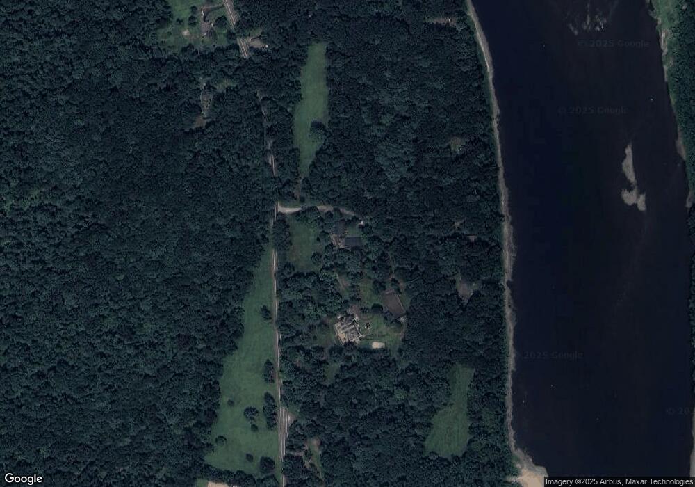
Map
Nearby Homes
- 9 Circle Dr
- 314 Terrace Ave
- 2352 Newton Ransom Blvd
- 2356 Newton Ransom Blvd
- 3061 Main St
- 3018 Main St
- 0 Lockville Rd Church Rd Unit 25-1114
- 2225 Cherry Hill Rd
- 522 Sutton Creek Rd
- 675 Apple Tree Rd
- 2694 Ransom Rd
- 278 Cider Run Rd
- 456 Village Rd
- 1932 Newton Ransom Blvd
- 2500 Falls Rd
- L358 River Rd
- 1212 Keelersburg Rd
- 750 Slocum Ave
- 2441 Milwaukee Rd
- 2046 Pennsylvania 92
- 0 Rte 92 Adjacent Kehoe Prop
- 13 Taylor Ln
- 11 Taylor Ln
- 45 Taylor Ln
- 29 Taylor Ln
- 2601 State Route 92 Hwy
- 2601 Pennsylvania 92
- 2606 State Route 92 Hwy
- 1 Kozloski Ln
- 2528 State Route 92 Hwy
- 2615 Sullivans Trail
- 3 Kozloski Ln
- 221 Jennings Rd
- 2520 State Route 92 Hwy
- 2618 State Route 92 Hwy
- 18 Kozloski Ln
- 230 Jennings Rd
- 2629 State Route 92 Hwy
- 2496 Pennsylvania 92
- 31 Jennings Rd