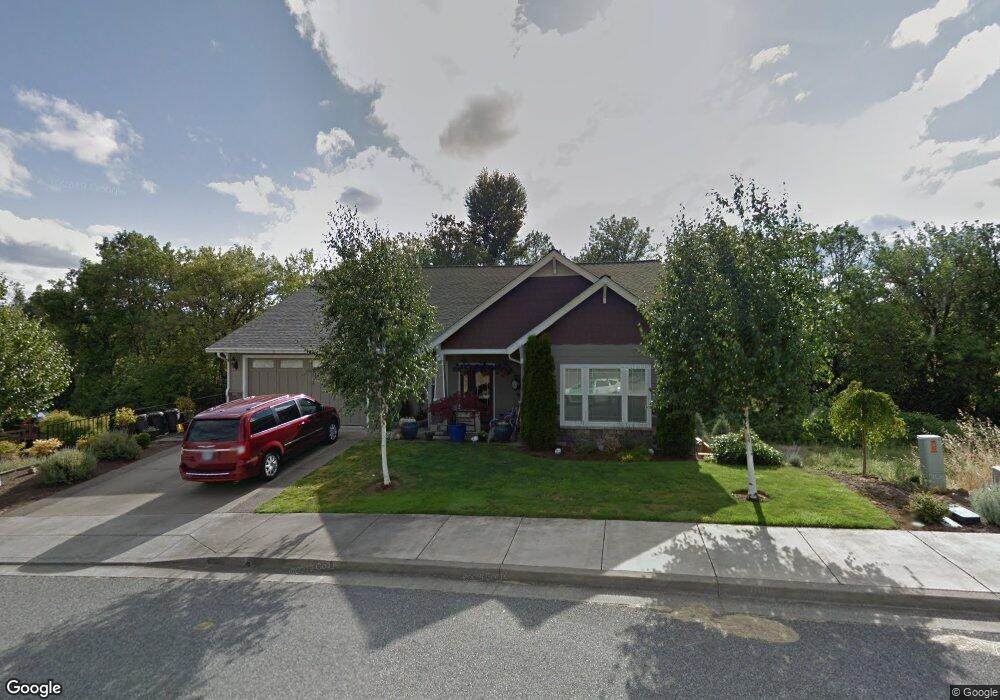
2572 Brockway Rd Winston, OR 97496
Estimated Value: $460,000 - $832,000
3
Beds
3
Baths
2,129
Sq Ft
$278/Sq Ft
Est. Value
About This Home
This home is located at 2572 Brockway Rd, Winston, OR 97496 and is currently estimated at $592,044, approximately $278 per square foot. 2572 Brockway Rd is a home located in Douglas County with nearby schools including Douglas High School.
Ownership History
Date
Name
Owned For
Owner Type
Purchase Details
Closed on
Aug 25, 2006
Sold by
Ling Bros Construction Llc
Bought by
Whitney James E and Whitney Jilene A
Current Estimated Value
Home Financials for this Owner
Home Financials are based on the most recent Mortgage that was taken out on this home.
Original Mortgage
$389,250
Outstanding Balance
$231,726
Interest Rate
6.7%
Mortgage Type
Unknown
Estimated Equity
$360,318
Purchase Details
Closed on
Jan 13, 2005
Sold by
Safari Estates Llc
Bought by
Ling Steve and Ling Vincent R
Home Financials for this Owner
Home Financials are based on the most recent Mortgage that was taken out on this home.
Original Mortgage
$213,500
Interest Rate
5.56%
Mortgage Type
Unknown
Create a Home Valuation Report for This Property
The Home Valuation Report is an in-depth analysis detailing your home's value as well as a comparison with similar homes in the area
Home Values in the Area
Average Home Value in this Area
Purchase History
| Date | Buyer | Sale Price | Title Company |
|---|---|---|---|
| Whitney James E | $432,500 | First American Title Ins Co | |
| Ling Steve | $47,500 | First American Title Ins Co |
Source: Public Records
Mortgage History
| Date | Status | Borrower | Loan Amount |
|---|---|---|---|
| Open | Whitney James E | $389,250 | |
| Previous Owner | Ling Steve | $213,500 |
Source: Public Records
Tax History Compared to Growth
Tax History
| Year | Tax Paid | Tax Assessment Tax Assessment Total Assessment is a certain percentage of the fair market value that is determined by local assessors to be the total taxable value of land and additions on the property. | Land | Improvement |
|---|---|---|---|---|
| 2025 | $6,418 | $386,212 | -- | -- |
| 2024 | $6,237 | $374,964 | -- | -- |
| 2023 | $6,061 | $364,043 | $0 | $0 |
| 2022 | $5,881 | $353,440 | $0 | $0 |
| 2021 | $5,722 | $343,146 | $0 | $0 |
| 2020 | $5,557 | $333,152 | $0 | $0 |
| 2019 | $5,425 | $323,449 | $0 | $0 |
Source: Public Records
Map
Nearby Homes
- 160 Wil Way
- 0 Wil Way Unit 24292479
- 0 Wil Way Unit 24094727
- 0 Wil Way Unit 24278136
- 150 Wil Way
- 102 Sarah Bear Ln
- 0 Danielle Dr Unit 122251646
- 165 Danielle Dr
- 13224 Lookingglass Rd
- 635 Wil Way
- 2414 Brockway Rd
- 139 Teresa Ln
- 411 Woodland Dr
- 109 Citation Ct
- 222 NW Broc Dr
- 210 NW Timothy Ave
- 364 NW Teal St
- 841 NW Lori St
- 0 NW Galaxy Dr
- 308 NW Civil Bend Ave
- 2582 NW Brockway Rd
- 2542 Brockway Rd
- 2600 Brockway Rd
- 2581 NW Brockway Rd
- 170 Wil Way
- 2591 Brockway Rd
- 2601 NW Brockway Rd
- 2541 NW Brockway Rd
- 2601 Brockway Rd
- 2620 Brockway Rd
- 2620 Brockway Rd
- 180 Wil Way
- 200 Wil Way
- 2611 Brockway Rd
- 2611 NW Brockway Rd
- 0 Wil Way Unit 131979738
- 0 Wil Way Unit 24277939
- 0 Wil Way Unit 24010215
- 0 Wil Way Unit 24000784
- 0 Wil Way Unit 24460704