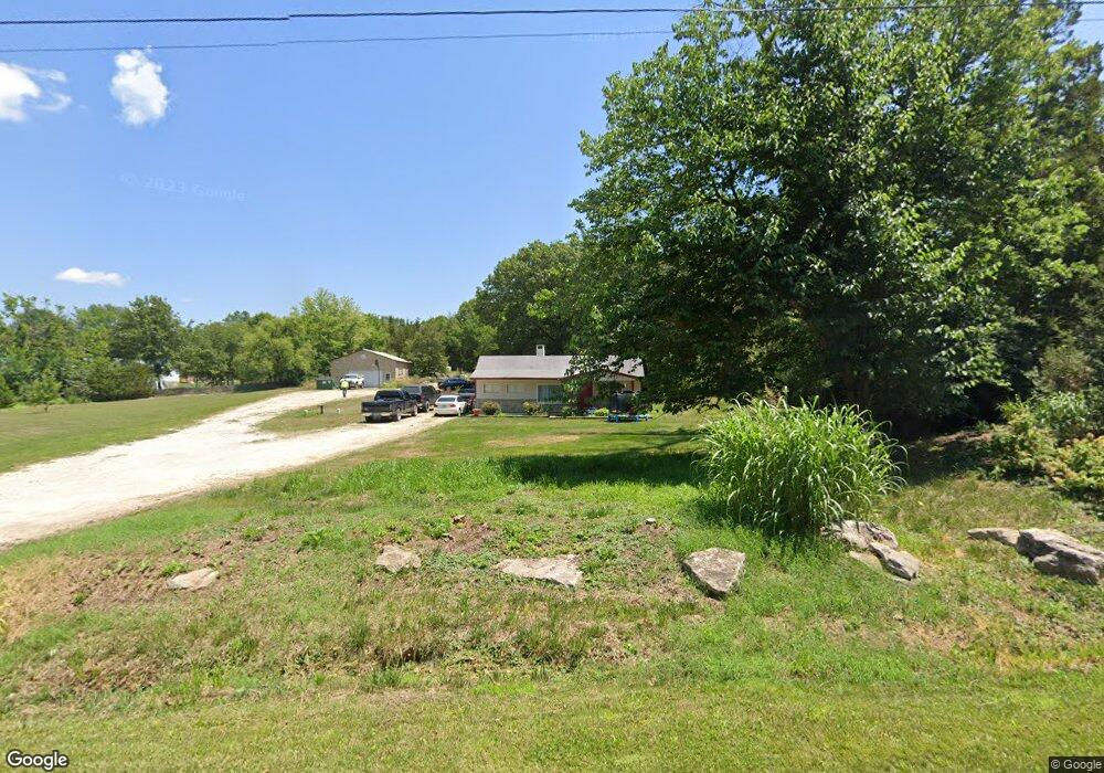
2572 Forst Dr O Fallon, MO 63368
Estimated Value: $287,761 - $384,000
3
Beds
1
Bath
1,124
Sq Ft
$291/Sq Ft
Est. Value
About This Home
This home is located at 2572 Forst Dr, O Fallon, MO 63368 and is currently estimated at $327,440, approximately $291 per square foot. 2572 Forst Dr is a home located in St. Charles County with nearby schools including Discovery Ridge Elementary School, Frontier Middle School, and Liberty High School.
Ownership History
Date
Name
Owned For
Owner Type
Purchase Details
Closed on
Apr 22, 2020
Sold by
Ehrler Michael C
Bought by
Revo Michael and Revo Sherry
Current Estimated Value
Purchase Details
Closed on
Mar 18, 2005
Sold by
Coogan Alvin H and Coogan Karen E
Bought by
Ehrler Michael C and Ehrler Mike
Home Financials for this Owner
Home Financials are based on the most recent Mortgage that was taken out on this home.
Original Mortgage
$156,750
Interest Rate
6.37%
Mortgage Type
New Conventional
Create a Home Valuation Report for This Property
The Home Valuation Report is an in-depth analysis detailing your home's value as well as a comparison with similar homes in the area
Home Values in the Area
Average Home Value in this Area
Purchase History
| Date | Buyer | Sale Price | Title Company |
|---|---|---|---|
| Ehrler Michael C | $165,000 | -- | |
| Revo Michael | -- | None Listed On Document |
Source: Public Records
Mortgage History
| Date | Status | Borrower | Loan Amount |
|---|---|---|---|
| Previous Owner | Ehrler Michael C | $156,750 |
Source: Public Records
Tax History
| Year | Tax Paid | Tax Assessment Tax Assessment Total Assessment is a certain percentage of the fair market value that is determined by local assessors to be the total taxable value of land and additions on the property. | Land | Improvement |
|---|---|---|---|---|
| 2025 | $2,124 | $35,634 | -- | -- |
| 2023 | $2,124 | $33,506 | $0 | $0 |
| 2022 | $1,740 | $25,620 | $0 | $0 |
| 2021 | $1,742 | $25,620 | $0 | $0 |
| 2020 | $1,688 | $23,808 | $0 | $0 |
| 2019 | $1,566 | $23,808 | $0 | $0 |
| 2018 | $1,497 | $21,681 | $0 | $0 |
| 2017 | $1,497 | $21,681 | $0 | $0 |
| 2016 | $1,511 | $20,974 | $0 | $0 |
| 2015 | $1,491 | $20,974 | $0 | $0 |
| 2014 | $1,356 | $20,461 | $0 | $0 |
Source: Public Records
Map
Nearby Homes
- 9045 Highway Dd
- 210 Randlin Dr
- 202 Randlin Dr
- 201 Randlin Dr
- 230 Randlin Dr
- 236 Randlin Dr
- 249 Randlin Dr
- 251 Randlin Dr
- 244 Randlin Dr
- 109 Pinto Cir
- 2340 Oak Dr
- 837 Memsie Dr
- 141 Cardow Dr
- 821 Memsie Dr
- 409 Roddens Way
- 717 Southerland Dr
- 109 Sommers Creek Ct
- 157 Cardow Dr
- 430 Smithton Blvd
- 327 Dalriada Blvd
- 2584 Forst Dr
- 2566 Forst Dr
- 2575 Forst Dr
- 2587 Forst Dr
- 2600 Forst Dr
- 2569 Forst Dr
- 2534 Forst Dr
- 2607 Forst Dr
- 132 Oakhurst Dr
- 136 Oakhurst Dr
- 2527 Forst Dr
- 128 Oakhurst Dr
- 5+/-Ac Forst Dr
- 140 Oakhurst Dr
- 1 Forst Manor Ct
- 9051 Highway Dd
- 9 Forst Manor Ct
- 228 Oakhurst Cir
- 124 Oakhurst Dr
- 220 Oakhurst Cir
Your Personal Tour Guide
Ask me questions while you tour the home.