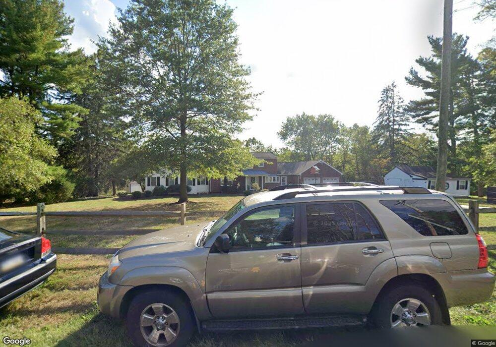
2572 Mill Rd Doylestown, PA 18902
Estimated Value: $858,000 - $1,065,000
4
Beds
4
Baths
3,500
Sq Ft
$272/Sq Ft
Est. Value
About This Home
This home is located at 2572 Mill Rd, Doylestown, PA 18902 and is currently estimated at $950,783, approximately $271 per square foot. 2572 Mill Rd is a home located in Bucks County with nearby schools including Buckingham Elementary School, Holicong Middle School, and Central Bucks High School - East.
Ownership History
Date
Name
Owned For
Owner Type
Purchase Details
Closed on
Dec 11, 2012
Sold by
Abbate Nancy
Bought by
Delmargio John and Delmargio Mary Lynn
Current Estimated Value
Home Financials for this Owner
Home Financials are based on the most recent Mortgage that was taken out on this home.
Original Mortgage
$417,000
Outstanding Balance
$278,514
Interest Rate
2.62%
Mortgage Type
Adjustable Rate Mortgage/ARM
Estimated Equity
$672,269
Purchase Details
Closed on
May 10, 1982
Bought by
Abbate Paul and Abbate Nancy
Create a Home Valuation Report for This Property
The Home Valuation Report is an in-depth analysis detailing your home's value as well as a comparison with similar homes in the area
Home Values in the Area
Average Home Value in this Area
Purchase History
| Date | Buyer | Sale Price | Title Company |
|---|---|---|---|
| Delmargio John | $471,000 | None Available | |
| Abbate Paul | $96,000 | -- |
Source: Public Records
Mortgage History
| Date | Status | Borrower | Loan Amount |
|---|---|---|---|
| Open | Delmargio John | $417,000 |
Source: Public Records
Tax History Compared to Growth
Tax History
| Year | Tax Paid | Tax Assessment Tax Assessment Total Assessment is a certain percentage of the fair market value that is determined by local assessors to be the total taxable value of land and additions on the property. | Land | Improvement |
|---|---|---|---|---|
| 2025 | $8,147 | $50,040 | $14,720 | $35,320 |
| 2024 | $8,147 | $50,040 | $14,720 | $35,320 |
| 2023 | $7,871 | $50,040 | $14,720 | $35,320 |
| 2022 | $7,777 | $50,040 | $14,720 | $35,320 |
| 2021 | $7,684 | $50,040 | $14,720 | $35,320 |
| 2020 | $7,684 | $50,040 | $14,720 | $35,320 |
| 2019 | $7,634 | $50,040 | $14,720 | $35,320 |
| 2018 | $7,634 | $50,040 | $14,720 | $35,320 |
| 2017 | $7,571 | $50,040 | $14,720 | $35,320 |
| 2016 | $7,646 | $50,040 | $14,720 | $35,320 |
| 2015 | -- | $50,040 | $14,720 | $35,320 |
| 2014 | -- | $50,040 | $14,720 | $35,320 |
Source: Public Records
Map
Nearby Homes
- 2728 Red Gate Dr
- 2799 Manion Way
- 3889 Robin Rd
- lot #3 next to 3739 York Rd
- 2880 Snake Hill Rd
- 3624 Robin Rd
- 3657 Powder Horn Dr
- 3015 Yorkshire Rd
- 2565 Bogarts Tavern Rd
- 3146 Mill Rd
- 3775 Buckingham Dr
- 2798 Forge Place
- 4245 Mechanicsville Rd
- 3111 Burnt House Hill Rd
- 1948 Forest Grove Rd
- 2209 Swamp Rd
- 2294 Staffordshire Rd
- 1908 Durham Rd
- 4549 Lower Mountain Rd
- 106 Saddle Dr