Estimated Value: $764,000 - $1,346,000
3
Beds
3
Baths
2,759
Sq Ft
$395/Sq Ft
Est. Value
About This Home
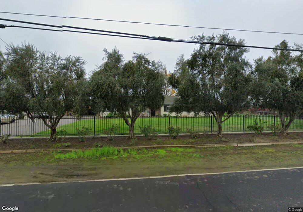
This home is located at 2572 W Woodbridge Rd, Lodi, CA 95242 and is currently estimated at $1,089,578, approximately $394 per square foot. 2572 W Woodbridge Rd is a home located in San Joaquin County with nearby schools including Lakewood Elementary School, Millswood Middle School, and Lodi High School.
Ownership History
Date
Name
Owned For
Owner Type
Purchase Details
Closed on
Aug 17, 2021
Sold by
Phillips David J and Phillips Corene D
Bought by
David And Corene Phillips Family Lp Lp
Current Estimated Value
Purchase Details
Closed on
Aug 4, 2021
Sold by
Phillips David J and Phillips Corene D
Bought by
Chestnut Farms Llc
Purchase Details
Closed on
Feb 8, 2021
Sold by
Phillips Michael J and Phillips Kristy A
Bought by
Phillips David J and Phillips Corene D
Purchase Details
Closed on
Dec 12, 1996
Sold by
Phillips Michael J and Phillips K A
Bought by
Phillips Michael J and Phillips Kristy A
Create a Home Valuation Report for This Property
The Home Valuation Report is an in-depth analysis detailing your home's value as well as a comparison with similar homes in the area
Home Values in the Area
Average Home Value in this Area
Purchase History
| Date | Buyer | Sale Price | Title Company |
|---|---|---|---|
| David And Corene Phillips Family Lp Lp | -- | None Available | |
| Chestnut Farms Llc | -- | None Available | |
| Phillips David J | $1,514,500 | Old Republic Title Company | |
| Phillips Michael J | -- | -- | |
| Phillips Michael J | -- | -- |
Source: Public Records
Tax History Compared to Growth
Tax History
| Year | Tax Paid | Tax Assessment Tax Assessment Total Assessment is a certain percentage of the fair market value that is determined by local assessors to be the total taxable value of land and additions on the property. | Land | Improvement |
|---|---|---|---|---|
| 2025 | $9,236 | $811,822 | $324,729 | $487,093 |
| 2024 | $8,996 | $795,905 | $318,362 | $477,543 |
| 2023 | $8,520 | $780,300 | $312,120 | $468,180 |
| 2022 | $2,164 | $157,532 | $23,444 | $134,088 |
| 2021 | $2,195 | $154,444 | $22,985 | $131,459 |
| 2020 | $1,726 | $152,862 | $22,750 | $130,112 |
| 2019 | $1,816 | $161,118 | $22,304 | $138,814 |
| 2018 | $1,791 | $157,960 | $21,867 | $136,093 |
| 2017 | $1,751 | $154,864 | $21,439 | $133,425 |
| 2016 | $1,643 | $151,829 | $21,019 | $130,810 |
| 2014 | $1,525 | $146,618 | $20,297 | $126,321 |
Source: Public Records
Map
Nearby Homes
- 19877 N Davis Rd
- 20540 N Davis Rd
- 2636 W Turner Rd
- 799 Lucas Rd
- 450 W Turner Rd
- 19001 Rio Verde St
- 19036 N Augusta St
- 4175 W Sargent Rd
- 463 E Augusta St
- 921 Golden Oak Dr
- 931 W Sargent Rd
- 19340 Wilderness Way
- 2937 Heritage Oak Way
- 1111 Brighton Way
- 4100 W Peltier Rd
- 324 Applewood Dr
- 2401 Eilers Ln Unit 1003
- 2401 Eilers Ln Unit 304
- 2401 Eilers Ln Unit 804
- 19014 Pebble Run
- 2688 W Woodbridge Rd
- 2297 W Woodbridge Rd
- 2275 W Woodbridge Rd
- 19431 N Devries Rd
- 19217 N Devries Rd
- 19143 N Devries Rd
- 19123 N Devries Rd
- 3155 W Woodbridge Rd
- 19775 N Devries Rd
- 19025 N Devries Rd
- 19899 N Devries Rd
- 18901 N Devries Rd
- 18805 N Devries Rd
- 20201 N Davis Rd
- 19015 N Davis Rd
- 1481 W Woodbridge Rd
- 1464 W Woodbridge Rd
- 18747 N Devries Rd
- 1412 W Woodbridge Rd
- 20616 N Devries Rd