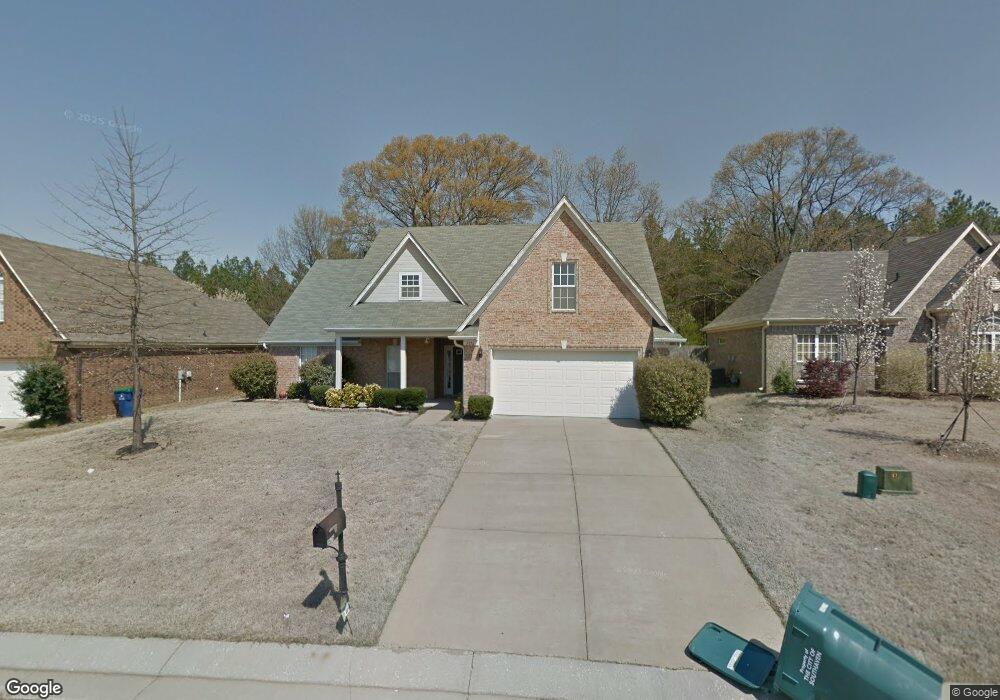
2576 Pyramid Dr Southaven, MS 38672
Estimated Value: $282,000 - $291,000
3
Beds
2
Baths
2,186
Sq Ft
$132/Sq Ft
Est. Value
About This Home
This home is located at 2576 Pyramid Dr, Southaven, MS 38672 and is currently estimated at $287,492, approximately $131 per square foot. 2576 Pyramid Dr is a home located in DeSoto County with nearby schools including Greenbrook Elementary School, Southaven Intermediate School, and Southaven Middle School.
Ownership History
Date
Name
Owned For
Owner Type
Purchase Details
Closed on
Mar 22, 2022
Sold by
Campbell Davis Tina R
Bought by
Davis Tina R Campbell and Davis Danielle
Current Estimated Value
Purchase Details
Closed on
Nov 28, 2011
Sold by
Hall Michael J
Bought by
Campbell Tina R
Home Financials for this Owner
Home Financials are based on the most recent Mortgage that was taken out on this home.
Original Mortgage
$3,874
Interest Rate
4.15%
Mortgage Type
Stand Alone Second
Create a Home Valuation Report for This Property
The Home Valuation Report is an in-depth analysis detailing your home's value as well as a comparison with similar homes in the area
Home Values in the Area
Average Home Value in this Area
Purchase History
| Date | Buyer | Sale Price | Title Company |
|---|---|---|---|
| Davis Tina R Campbell | -- | Eric L Sappenfiled Pllc | |
| Campbell Tina R | -- | Preferred Title & Escrow |
Source: Public Records
Mortgage History
| Date | Status | Borrower | Loan Amount |
|---|---|---|---|
| Previous Owner | Campbell Tina R | $3,874 |
Source: Public Records
Tax History Compared to Growth
Tax History
| Year | Tax Paid | Tax Assessment Tax Assessment Total Assessment is a certain percentage of the fair market value that is determined by local assessors to be the total taxable value of land and additions on the property. | Land | Improvement |
|---|---|---|---|---|
| 2024 | $1,689 | $13,743 | $2,500 | $11,243 |
| 2023 | $1,689 | $13,743 | $0 | $0 |
| 2022 | $1,648 | $13,743 | $2,500 | $11,243 |
| 2021 | $1,648 | $13,743 | $2,500 | $11,243 |
| 2020 | $1,520 | $12,843 | $2,500 | $10,343 |
| 2019 | $1,520 | $12,843 | $2,500 | $10,343 |
| 2017 | $1,494 | $22,688 | $12,594 | $10,094 |
| 2016 | $1,494 | $12,594 | $2,500 | $10,094 |
| 2015 | $1,794 | $22,688 | $12,594 | $10,094 |
| 2014 | $1,581 | $13,154 | $0 | $0 |
| 2013 | $1,622 | $13,154 | $0 | $0 |
Source: Public Records
Map
Nearby Homes
- 2618 Pyramid Dr
- 2660 Pyramid Dr
- 8685 Lana Dr
- 8628 Lois Ln
- 8561 Lana Dr
- 8436 Ansley Park Ln
- 2740 Blue Ridge Cove
- 2263 Dela Dr
- 2722 Dela Dr
- 2370 Johnny Ray Dr
- 2446 Shelburne Ln E
- 2246 Metcalf Way
- 7888 Shelburne Ln E
- 8937 Mookie Dr
- 8740 Oakwood Ln
- 9115 Valley Grove Ln
- 3391 Shady Oaks Dr
- 9144 Valley Grove Ln
- 1961 Stateline Rd E
- 2835 Plum Point Rd