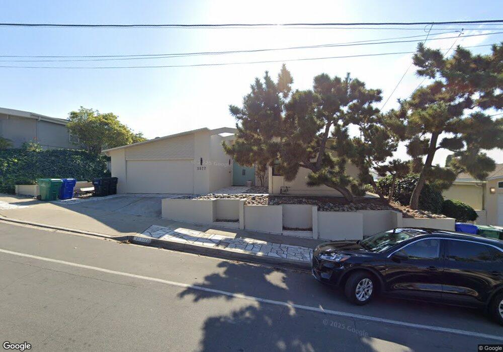
2577 Loring St San Diego, CA 92109
Pacific Beach NeighborhoodEstimated Value: $1,699,836 - $2,607,000
4
Beds
2
Baths
1,912
Sq Ft
$1,086/Sq Ft
Est. Value
About This Home
This home is located at 2577 Loring St, San Diego, CA 92109 and is currently estimated at $2,076,209, approximately $1,085 per square foot. 2577 Loring St is a home located in San Diego County with nearby schools including Sessions Elementary School, Pacific Beach Middle, and Mission Bay High School.
Ownership History
Date
Name
Owned For
Owner Type
Purchase Details
Closed on
Jul 5, 1996
Sold by
Sonnenberg Elizabeth A
Bought by
Sonnenberg Elizabeth Ann and Elizabeth Ann Sonnenberg Trust
Current Estimated Value
Purchase Details
Closed on
Jun 7, 1996
Sold by
Dean Catherine
Bought by
Dean Catherine and Catherine Dean Trust
Purchase Details
Closed on
Apr 11, 1994
Sold by
Johns Blanche A
Bought by
Sonnenberg Elizabeth Ann and Dean Catherine
Create a Home Valuation Report for This Property
The Home Valuation Report is an in-depth analysis detailing your home's value as well as a comparison with similar homes in the area
Home Values in the Area
Average Home Value in this Area
Purchase History
| Date | Buyer | Sale Price | Title Company |
|---|---|---|---|
| Sonnenberg Elizabeth Ann | -- | -- | |
| Dean Catherine | -- | -- | |
| Sonnenberg Elizabeth Ann | -- | -- |
Source: Public Records
Tax History Compared to Growth
Tax History
| Year | Tax Paid | Tax Assessment Tax Assessment Total Assessment is a certain percentage of the fair market value that is determined by local assessors to be the total taxable value of land and additions on the property. | Land | Improvement |
|---|---|---|---|---|
| 2025 | $1,615 | $131,170 | $66,280 | $64,890 |
| 2024 | $1,615 | $128,599 | $64,981 | $63,618 |
| 2023 | $1,578 | $126,078 | $63,707 | $62,371 |
| 2022 | $1,536 | $123,607 | $62,458 | $61,149 |
| 2021 | $1,526 | $121,184 | $61,234 | $59,950 |
| 2020 | $1,508 | $119,943 | $60,607 | $59,336 |
| 2019 | $1,482 | $117,592 | $59,419 | $58,173 |
| 2018 | $1,387 | $115,287 | $58,254 | $57,033 |
| 2017 | $1,354 | $113,027 | $57,112 | $55,915 |
| 2016 | $1,331 | $110,812 | $55,993 | $54,819 |
| 2015 | $1,312 | $109,148 | $55,152 | $53,996 |
| 2014 | $1,292 | $107,011 | $54,072 | $52,939 |
Source: Public Records
Map
Nearby Homes
- 2481 La Marque St
- 2515 Geranium St
- 2522 Chalcedony St
- 2609 Pico Place Unit 127
- 4647 Pico St Unit 205
- 2315 Geranium St
- 2318 Chalcedony St
- 4060 Huerfano Ave Unit 125
- 4060 Huerfano Ave Unit 240
- 4060 Huerfano Ave Unit 109
- 4060 Huerfano Ave Unit 126
- 2730 Garnet Ave Unit 15 & 16
- 5259 Pacifica Dr
- 3001 Hartman Way
- 3212 Cadden Ct
- 3247 Petunia Ct
- 5227 Middleton Rd
- 3903 Cadden Way
- 2669 Magnolia Ave
- 4048 Raffee Dr
- 2569 Loring St
- 2585 Loring St
- 2546 San Anselmo St
- 2554 San Anselmo St
- 2605 Loring St Unit L107
- 5004 San Aquario Dr
- 2538 San Anselmo St
- 2572 Loring St
- 2562 San Anselmo St
- 2553 Loring St
- 4934 Pacifica Dr
- 2615 Loring St
- 2564 Loring St
- 2530 San Anselmo St
- 5010 San Aquario Dr
- 2616 Loring St
- 4938 Pacifica Dr
- 5005 San Joaquin Dr
- 2545 Loring St
- 2625 Loring St