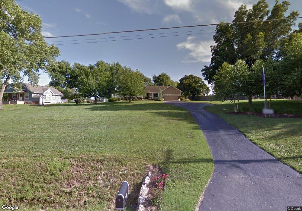
25785 W 77th St Shawnee, KS 66227
Estimated Value: $545,498 - $635,000
3
Beds
3
Baths
1,956
Sq Ft
$296/Sq Ft
Est. Value
About This Home
This home is located at 25785 W 77th St, Shawnee, KS 66227 and is currently estimated at $579,375, approximately $296 per square foot. 25785 W 77th St is a home located in Johnson County with nearby schools including Mize Elementary School, Mill Creek Middle School, and De Soto High School.
Ownership History
Date
Name
Owned For
Owner Type
Purchase Details
Closed on
Feb 9, 2022
Sold by
Keating Daniel J and Keating Denise K
Bought by
Daniel J Keating And Denise K Keating Living and Keating Denise K
Current Estimated Value
Create a Home Valuation Report for This Property
The Home Valuation Report is an in-depth analysis detailing your home's value as well as a comparison with similar homes in the area
Home Values in the Area
Average Home Value in this Area
Purchase History
| Date | Buyer | Sale Price | Title Company |
|---|---|---|---|
| Daniel J Keating And Denise K Keating Living | -- | None Listed On Document |
Source: Public Records
Tax History Compared to Growth
Tax History
| Year | Tax Paid | Tax Assessment Tax Assessment Total Assessment is a certain percentage of the fair market value that is determined by local assessors to be the total taxable value of land and additions on the property. | Land | Improvement |
|---|---|---|---|---|
| 2024 | $6,449 | $55,338 | $19,007 | $36,331 |
| 2023 | $6,088 | $51,750 | $16,137 | $35,613 |
| 2022 | $5,543 | $46,173 | $13,455 | $32,718 |
| 2021 | $5,471 | $43,849 | $13,034 | $30,815 |
| 2020 | $4,850 | $38,502 | $13,034 | $25,468 |
| 2019 | $4,759 | $37,225 | $13,034 | $24,191 |
| 2018 | $4,720 | $36,593 | $13,034 | $23,559 |
| 2017 | $4,769 | $36,075 | $13,034 | $23,041 |
| 2016 | $4,705 | $35,155 | $13,034 | $22,121 |
| 2015 | $4,661 | $34,201 | $13,034 | $21,167 |
| 2013 | -- | $32,016 | $13,034 | $18,982 |
Source: Public Records
Map
Nearby Homes
- Lakewood Villa Plan at Mize Hill
- Newberry Plan at Mize Hill
- 7822 Houston St
- 7330 Cedar Niles Rd
- 25492 W 84th Terrace
- 26775 W 73rd St
- 26544 W 83rd Terrace
- 26555 W 83rd Terrace
- 26571 W 83rd Terrace
- 26584 W 83rd Terrace
- 25371 W 84th St
- 8357 Greentree Dr
- 8368 Greentree Dr
- 7505 Mccormick Dr
- 25481 W 84th Terrace
- 25601 W 69th Terrace
- 26561 W 84th Terrace
- 8520 Pickering St
- 8523 Pickering St
- 8408 Greentree Dr
- 25725 W 77th St
- 25835 W 77th St
- 25885 W 77th St
- 25661 W 77th St
- 25700 W 77th St
- 25975 W 77th St
- 25560 W 77th St
- 25840 W 77th St
- 9527 Shady Bend Rd Unit 3R
- 9530 Shady Bend Rd Unit 2R
- 9532 Shady Bend Rd Unit 2L
- 9538 Shady Bend Rd Unit 1R
- 9540 Shady Bend Rd Unit 1L
- 9530 Shady Bend Rd
- 9532 Shady Bend Rd
- 25995 W 77th St
- 7645 Deer Ridge Dr
- 7645 Deer Ridge Dr
- 0 W 77th St
- 25980 W 77th St