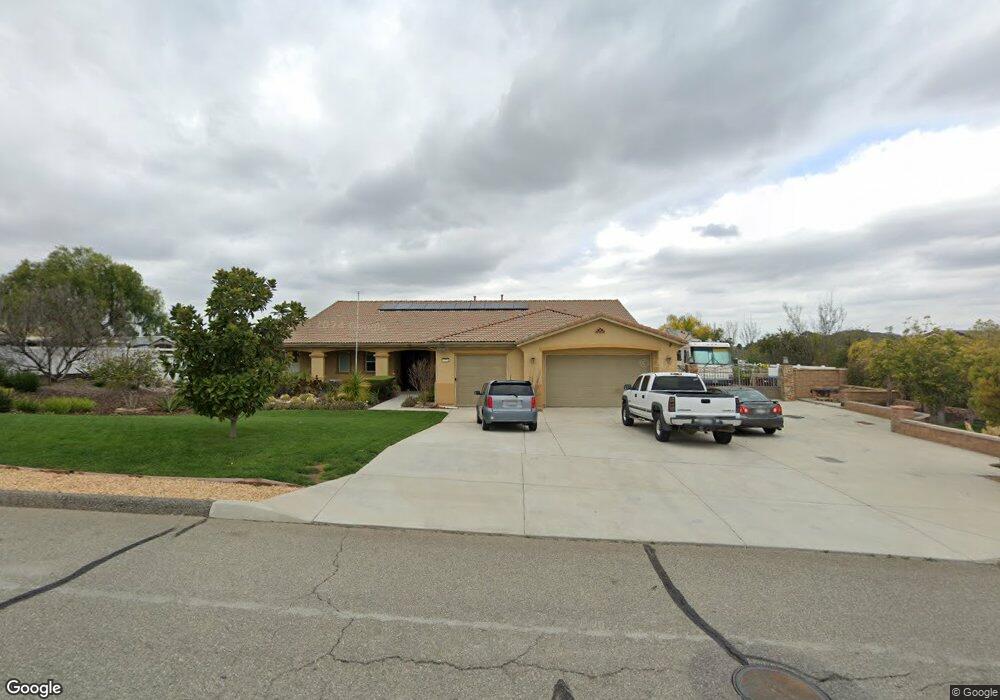
25794 Beth Dr Menifee, CA 92584
Estimated Value: $725,898 - $1,034,000
4
Beds
3
Baths
2,526
Sq Ft
$344/Sq Ft
Est. Value
About This Home
This home is located at 25794 Beth Dr, Menifee, CA 92584 and is currently estimated at $869,975, approximately $344 per square foot. 25794 Beth Dr is a home located in Riverside County with nearby schools including Herk Bouris Elementary School, Menifee Valley Middle School, and Pinacate Middle School.
Ownership History
Date
Name
Owned For
Owner Type
Purchase Details
Closed on
Jul 5, 2011
Sold by
Capital Pacific Real Estate Inc
Bought by
Puno Michael C and Puno Estrella C
Current Estimated Value
Home Financials for this Owner
Home Financials are based on the most recent Mortgage that was taken out on this home.
Original Mortgage
$379,900
Interest Rate
4.43%
Mortgage Type
VA
Purchase Details
Closed on
Jun 25, 2009
Sold by
Capital Pacific Holdings Llc
Bought by
Capital Pacific Real Estate Inc
Create a Home Valuation Report for This Property
The Home Valuation Report is an in-depth analysis detailing your home's value as well as a comparison with similar homes in the area
Home Values in the Area
Average Home Value in this Area
Purchase History
| Date | Buyer | Sale Price | Title Company |
|---|---|---|---|
| Puno Michael C | $380,000 | Fidelity National Title | |
| Capital Pacific Real Estate Inc | -- | First American Title Company |
Source: Public Records
Mortgage History
| Date | Status | Borrower | Loan Amount |
|---|---|---|---|
| Previous Owner | Puno Michael C | $379,900 |
Source: Public Records
Tax History
| Year | Tax Paid | Tax Assessment Tax Assessment Total Assessment is a certain percentage of the fair market value that is determined by local assessors to be the total taxable value of land and additions on the property. | Land | Improvement |
|---|---|---|---|---|
| 2025 | $8,801 | $496,495 | $87,916 | $408,579 |
| 2023 | $8,801 | $477,217 | $84,503 | $392,714 |
| 2022 | $8,659 | $467,861 | $82,847 | $385,014 |
| 2021 | $8,593 | $458,688 | $81,223 | $377,465 |
| 2020 | $8,923 | $453,986 | $80,391 | $373,595 |
| 2019 | $8,780 | $445,085 | $78,815 | $366,270 |
| 2018 | $8,525 | $436,359 | $77,271 | $359,088 |
| 2017 | $8,477 | $427,804 | $75,756 | $352,048 |
| 2016 | $8,470 | $419,417 | $74,271 | $345,146 |
| 2015 | $8,426 | $413,118 | $73,156 | $339,962 |
| 2014 | $7,898 | $405,027 | $71,724 | $333,303 |
Source: Public Records
Map
Nearby Homes
- 26101 Redoak St
- 0 Byers St Unit SW25005991
- 25990 Corson Ave
- 31621 Greenwich Ct
- 31139 Little Camille Way
- 0 Geary St Unit TR25083341
- 0 Geary St Unit PW25136169
- 0 Geary St Unit SW25222690
- 31974 Eaton Ln
- 0 Murrieta Rd Unit OC26030606
- 31039 Byers Rd
- 31846 Victoria Place
- 27277 Garbani Rd
- 31862 Livingston St
- 26547 Zenith Ct
- 26576 Aster Way
- 36312 Shedera Ct
- 26600 Zenith Ct
- 26647 Aster Way
- 36473 Acanthus Ct
- 25820 Beth Dr
- 31650 Melvin St
- 31598 Melvin St
- 31572 Melvin St
- 25846 Beth Dr
- 25846 Beth Dr
- 25789 Beth Dr
- 31671 Melvin St
- 31645 Melvin St
- 25763 Beth Dr
- 31619 Melvin St
- 25872 Beth Dr
- 25841 Beth Dr
- 25871 Thistletown Ct
- 25867 Beth Dr
- 25897 Thistletown Ct
- 31567 Melvin St
- 25815 Beth Dr
- 25737 Beth Dr
- 31593 Melvin St
Your Personal Tour Guide
Ask me questions while you tour the home.