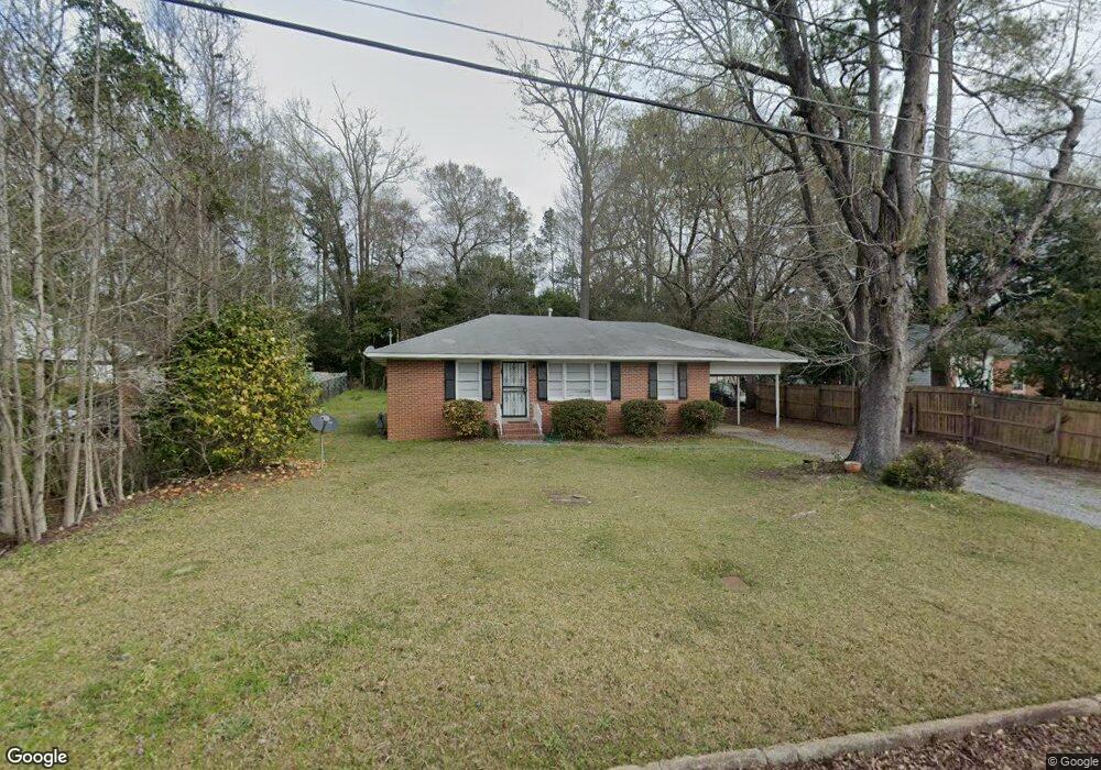
2580 Derrell Dr Macon, GA 31217
Estimated Value: $71,000 - $96,000
2
Beds
1
Bath
1,080
Sq Ft
$75/Sq Ft
Est. Value
About This Home
This home is located at 2580 Derrell Dr, Macon, GA 31217 and is currently estimated at $80,538, approximately $74 per square foot. 2580 Derrell Dr is a home located in Bibb County with nearby schools including Martin Luther King Jr. Elementary School, Appling Middle School, and Northeast High School.
Ownership History
Date
Name
Owned For
Owner Type
Purchase Details
Closed on
Mar 22, 2016
Sold by
Green Exter L
Bought by
2580 Derrell Drive Trust
Current Estimated Value
Purchase Details
Closed on
Apr 25, 2013
Sold by
2580 Derrell Drive Trust
Bought by
Greene Exter L
Home Financials for this Owner
Home Financials are based on the most recent Mortgage that was taken out on this home.
Original Mortgage
$28,000
Interest Rate
3.65%
Mortgage Type
Unknown
Purchase Details
Closed on
Jul 27, 2012
Sold by
Walters Laurie D Clark and Clark Craig C
Bought by
2580 Derrell Drive Trust
Home Financials for this Owner
Home Financials are based on the most recent Mortgage that was taken out on this home.
Original Mortgage
$15,000
Interest Rate
3.72%
Mortgage Type
Seller Take Back
Create a Home Valuation Report for This Property
The Home Valuation Report is an in-depth analysis detailing your home's value as well as a comparison with similar homes in the area
Purchase History
| Date | Buyer | Sale Price | Title Company |
|---|---|---|---|
| 2580 Derrell Drive Trust | $28,000 | -- | |
| Greene Exter L | $29,500 | None Available | |
| 2580 Derrell Drive Trust | $15,000 | None Available |
Source: Public Records
Mortgage History
| Date | Status | Borrower | Loan Amount |
|---|---|---|---|
| Previous Owner | Greene Exter L | $28,000 | |
| Previous Owner | 2580 Derrell Drive Trust | $15,000 |
Source: Public Records
Tax History
| Year | Tax Paid | Tax Assessment Tax Assessment Total Assessment is a certain percentage of the fair market value that is determined by local assessors to be the total taxable value of land and additions on the property. | Land | Improvement |
|---|---|---|---|---|
| 2025 | $691 | $28,105 | $2,640 | $25,465 |
| 2024 | $714 | $28,105 | $2,640 | $25,465 |
| 2023 | $655 | $25,790 | $2,640 | $23,150 |
| 2022 | $569 | $16,428 | $2,160 | $14,268 |
| 2021 | $458 | $12,065 | $1,440 | $10,625 |
| 2020 | $400 | $10,307 | $1,200 | $9,107 |
| 2019 | $403 | $10,307 | $1,200 | $9,107 |
| 2018 | $798 | $10,307 | $1,200 | $9,107 |
| 2017 | $386 | $10,307 | $1,200 | $9,107 |
| 2016 | $357 | $10,307 | $1,200 | $9,107 |
| 2015 | $524 | $10,707 | $1,600 | $9,107 |
| 2014 | $648 | $11,507 | $2,400 | $9,107 |
Source: Public Records
Map
Nearby Homes
- 2675 Pauladale Dr
- 2740 Millerfield Rd
- 155 Alton Rd
- 2639 Tredway Dr
- 2954 Tyler Place
- 2630 Pauladale Dr
- 2285 New Clinton Rd
- 2877 Wilkes Ct
- 2361 Ollie Dr
- 2229 New Clinton Rd
- 2721 Kensington Place
- 3020 Millerfield Rd
- 3020 Millersfield Rd
- 2458 Tredway Dr
- 3009 Millerfield Rd
- 240 Neptune Ct
- 2161 Melton Ave
- 3147 Wedgewood Dr
- 2792 Jordan Ave
- 2418 Tredway Dr
- 2586 Derrell Dr
- 2574 Willis Dr
- 2592 Willis Dr
- 2568 Willis Dr
- 2581 Derrell Dr
- 2569 Derrell Dr
- 2562 Willis Dr
- 2562 Willis Dr Unit 6
- 2557 Derrell Dr
- 2556 Willis Dr
- 2559 Willis Dr
- 2596 Derrell Dr
- 2539 Derrell Dr
- 2550 Willis Dr
- 2560 Willis Ct
- 2600 Ellsworth Terrace
- 2551 Willis Dr
- 2528 Derrell Dr
- 2550 Willis Ct
- 2544 Willis Dr
Your Personal Tour Guide
Ask me questions while you tour the home.