Estimated Value: $595,000 - $1,350,000
3
Beds
2
Baths
2,627
Sq Ft
$408/Sq Ft
Est. Value
About This Home
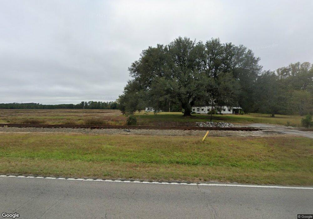
This home is located at 2580 Highway 701 S, Loris, SC 29569 and is currently estimated at $1,071,853, approximately $408 per square foot. 2580 Highway 701 S is a home located in Horry County with nearby schools including Loris Elementary School, Loris Middle School, and Loris High School.
Ownership History
Date
Name
Owned For
Owner Type
Purchase Details
Closed on
Apr 4, 2025
Sold by
Rankin Jo Marie
Bought by
Hwynine Industrial Holdings and Hwynine Industrial Holdings Llc
Current Estimated Value
Home Financials for this Owner
Home Financials are based on the most recent Mortgage that was taken out on this home.
Original Mortgage
$2,600,000
Outstanding Balance
$1,537,518
Interest Rate
6.63%
Mortgage Type
New Conventional
Estimated Equity
-$465,665
Purchase Details
Closed on
Nov 13, 2014
Sold by
Estate Of Marie H Rankin
Bought by
Rankin Jo Marie
Purchase Details
Closed on
Jun 17, 1998
Sold by
Estate Of Joseph R Rankin
Bought by
Rankin Marie H
Create a Home Valuation Report for This Property
The Home Valuation Report is an in-depth analysis detailing your home's value as well as a comparison with similar homes in the area
Home Values in the Area
Average Home Value in this Area
Purchase History
| Date | Buyer | Sale Price | Title Company |
|---|---|---|---|
| Hwynine Industrial Holdings | $1,300,000 | -- | |
| Rankin Jo Marie | -- | -- | |
| Rankin Marie H | -- | -- |
Source: Public Records
Mortgage History
| Date | Status | Borrower | Loan Amount |
|---|---|---|---|
| Open | Hwynine Industrial Holdings | $2,600,000 |
Source: Public Records
Tax History Compared to Growth
Tax History
| Year | Tax Paid | Tax Assessment Tax Assessment Total Assessment is a certain percentage of the fair market value that is determined by local assessors to be the total taxable value of land and additions on the property. | Land | Improvement |
|---|---|---|---|---|
| 2024 | $933 | $46,011 | $41,992 | $4,019 |
| 2023 | $933 | $16,712 | $14,304 | $2,408 |
| 2021 | $877 | $25,129 | $22,639 | $2,490 |
| 2020 | $893 | $25,129 | $22,639 | $2,490 |
| 2019 | $895 | $25,129 | $22,639 | $2,490 |
| 2018 | $0 | $22,222 | $18,250 | $3,972 |
| 2017 | $354 | $22,222 | $18,250 | $3,972 |
| 2016 | $0 | $22,222 | $18,250 | $3,972 |
| 2015 | -- | $14,815 | $12,167 | $2,648 |
| 2014 | $337 | $22,222 | $18,250 | $3,972 |
Source: Public Records
Map
Nearby Homes
- 214 Allsbrook Rd
- Lot 1 Allsbrook Rd
- 232 Ole Maple St
- TBD Ole Maple St
- 255 Ole Maple St
- TBD Highway 701
- TBD Highway 701 Unit Rabon Rd
- 123 Alford Dr Unit Lot 6 - Cedar
- 127 Alford Dr Unit Lot 7 - New Oak
- 300 Clio Rd
- 1194 Rainbow Dr
- Lot 6 Rainbow Dr
- 1223 Rainbow Dr
- 2587 Cottonwood Dr Unit Spruce
- 2593 Cottonwood Dr
- 1530 Tobacco Rd
- TBD Apple Valley Rd
- TBD Apple Valley Rd Unit Quartermaster Rd.
- 719 American Beech St
- 644 American Beech St Unit Porters Bay
- TBD Highway 701 S Unit Rabon Rd
- TBD Highway 701 S Unit Three Curve Rd
- 2401 Highway 701 S
- 2602 Highway 701 S
- 2199 Highway 701 N
- 2345 Highway 701 S
- 374 Allsbrook Rd Unit Lot A
- 370 Allsbrook Rd Unit Lot B
- 370 Allsbrook Rd Unit Lot C
- 362 Allsbrook Rd Unit Pecan
- 366 Allsbrook Rd Unit Lot C
- 2251 Highway 701 S Unit W
- 358 Allsbrook Rd Unit Pecan
- 2320 Highway 701 S
- 354 Allsbrook Rd
- 354 Allsbrook Rd Unit Hickory B4
- Lot 10 W Highway 19 Unit Lot 10
- 350 Allsbrook Rd Unit Pecan
- 344 Allsbrook Rd Unit Pecan
- 340 Allsbrook Rd