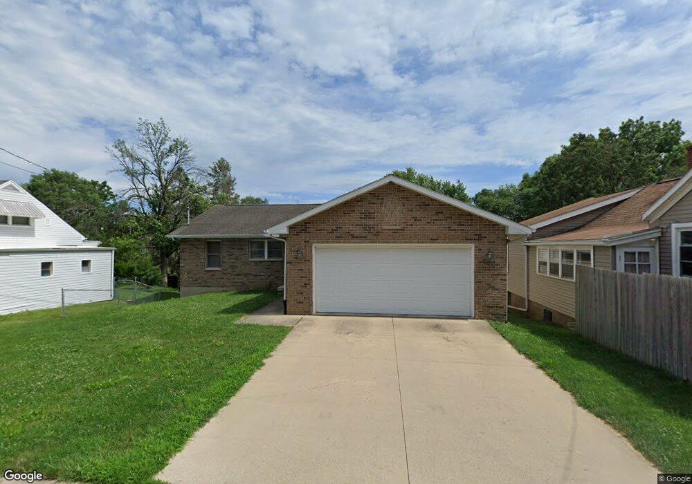
2580 Pearl St Dubuque, IA 52001
Estimated Value: $299,000 - $314,000
3
Beds
3
Baths
1,440
Sq Ft
$213/Sq Ft
Est. Value
About This Home
This home is located at 2580 Pearl St, Dubuque, IA 52001 and is currently estimated at $306,698, approximately $212 per square foot. 2580 Pearl St is a home located in Dubuque County with nearby schools including Irving Elementary School, George Washington Middle School, and Dubuque Senior High School.
Ownership History
Date
Name
Owned For
Owner Type
Purchase Details
Closed on
Feb 25, 2009
Sold by
Stackis Construction Inc
Bought by
He Cuilin
Current Estimated Value
Home Financials for this Owner
Home Financials are based on the most recent Mortgage that was taken out on this home.
Original Mortgage
$129,600
Outstanding Balance
$81,087
Interest Rate
4.91%
Mortgage Type
Purchase Money Mortgage
Estimated Equity
$225,611
Purchase Details
Closed on
May 10, 2007
Sold by
Shannon Kenneth W and Shannon Shirely M
Bought by
Stackis Construction Inc
Create a Home Valuation Report for This Property
The Home Valuation Report is an in-depth analysis detailing your home's value as well as a comparison with similar homes in the area
Home Values in the Area
Average Home Value in this Area
Purchase History
| Date | Buyer | Sale Price | Title Company |
|---|---|---|---|
| He Cuilin | $162,000 | None Available | |
| Stackis Construction Inc | $15,000 | None Available |
Source: Public Records
Mortgage History
| Date | Status | Borrower | Loan Amount |
|---|---|---|---|
| Open | He Cuilin | $129,600 |
Source: Public Records
Tax History Compared to Growth
Tax History
| Year | Tax Paid | Tax Assessment Tax Assessment Total Assessment is a certain percentage of the fair market value that is determined by local assessors to be the total taxable value of land and additions on the property. | Land | Improvement |
|---|---|---|---|---|
| 2025 | $3,786 | $290,600 | $35,400 | $255,200 |
| 2024 | $3,786 | $273,500 | $32,200 | $241,300 |
| 2023 | $3,672 | $273,500 | $32,200 | $241,300 |
| 2022 | $3,446 | $217,290 | $30,580 | $186,710 |
| 2021 | $3,446 | $217,290 | $30,580 | $186,710 |
| 2020 | $3,324 | $195,650 | $28,970 | $166,680 |
| 2019 | $3,332 | $195,650 | $28,970 | $166,680 |
| 2018 | $3,276 | $187,680 | $28,970 | $158,710 |
| 2017 | $3,100 | $187,680 | $28,970 | $158,710 |
| 2016 | $3,032 | $169,000 | $28,970 | $140,030 |
| 2015 | $3,032 | $169,000 | $28,970 | $140,030 |
| 2014 | $2,900 | $166,260 | $28,970 | $137,290 |
Source: Public Records
Map
Nearby Homes
- 2625 New Haven St
- 1395 Brown Ave
- 130 Devon Dr
- 1568 Fairfax Ave
- 1650 Drexel Ave
- 1821 Glendale Ct
- 1730 Chaney Rd
- 1896 Floraview Dr
- 1993 Hale St
- 17 Jenni St
- 1949 Saint Ambrose St
- 1425 Adair St
- 1455 Adair St
- 1985 Marion St
- 2447 Asbury Rd
- 1445 Wood St
- 1735 Wood St
- 1390 Loras Blvd
- 2095 Mullin Rd
- 1865 Wood St