2581 Highway 70 Braham, MN 55006
Estimated Value: $368,000 - $556,925
3
Beds
3
Baths
1,612
Sq Ft
$304/Sq Ft
Est. Value
About This Home
This home is located at 2581 Highway 70, Braham, MN 55006 and is currently estimated at $490,731, approximately $304 per square foot. 2581 Highway 70 is a home located in Kanabec County with nearby schools including Braham Elementary School, Braham Area High School, and Grace Christian School.
Ownership History
Date
Name
Owned For
Owner Type
Purchase Details
Closed on
Jun 24, 2019
Sold by
Posch David and Posch Joanie
Bought by
Ernhart Mark K and Howe Ernhart Mary J
Current Estimated Value
Home Financials for this Owner
Home Financials are based on the most recent Mortgage that was taken out on this home.
Original Mortgage
$237,250
Outstanding Balance
$207,406
Interest Rate
3.82%
Mortgage Type
New Conventional
Estimated Equity
$283,325
Purchase Details
Closed on
Jul 3, 2008
Sold by
Federal National Mortgage Association
Bought by
Posch David and Posch Joanie
Purchase Details
Closed on
Jan 23, 2006
Sold by
Bierl Tammy J
Bought by
Bierl Stephen M
Home Financials for this Owner
Home Financials are based on the most recent Mortgage that was taken out on this home.
Original Mortgage
$97,000
Interest Rate
6.2%
Mortgage Type
New Conventional
Create a Home Valuation Report for This Property
The Home Valuation Report is an in-depth analysis detailing your home's value as well as a comparison with similar homes in the area
Home Values in the Area
Average Home Value in this Area
Purchase History
| Date | Buyer | Sale Price | Title Company |
|---|---|---|---|
| Ernhart Mark K | $325,000 | Edina Realty Title | |
| Posch David | -- | None Available | |
| Bierl Stephen M | -- | Guarantee Trust & Title |
Source: Public Records
Mortgage History
| Date | Status | Borrower | Loan Amount |
|---|---|---|---|
| Open | Ernhart Mark K | $237,250 | |
| Previous Owner | Bierl Stephen M | $97,000 |
Source: Public Records
Tax History Compared to Growth
Tax History
| Year | Tax Paid | Tax Assessment Tax Assessment Total Assessment is a certain percentage of the fair market value that is determined by local assessors to be the total taxable value of land and additions on the property. | Land | Improvement |
|---|---|---|---|---|
| 2025 | $5,914 | $560,800 | $72,000 | $488,800 |
| 2024 | $6,046 | $523,300 | $57,200 | $466,100 |
| 2023 | $4,998 | $554,900 | $57,200 | $497,700 |
| 2022 | $4,820 | $419,500 | $47,800 | $371,700 |
| 2021 | $4,776 | $330,900 | $43,000 | $287,900 |
| 2020 | $3,276 | $316,700 | $43,000 | $273,700 |
| 2018 | $2,832 | $204,300 | $44,621 | $159,679 |
| 2017 | $3,012 | $188,500 | $41,687 | $146,813 |
| 2016 | $2,698 | $187,100 | $39,184 | $147,916 |
| 2015 | $2,240 | $153,600 | $31,141 | $122,459 |
| 2013 | $2,240 | $124,800 | $27,360 | $97,440 |
Source: Public Records
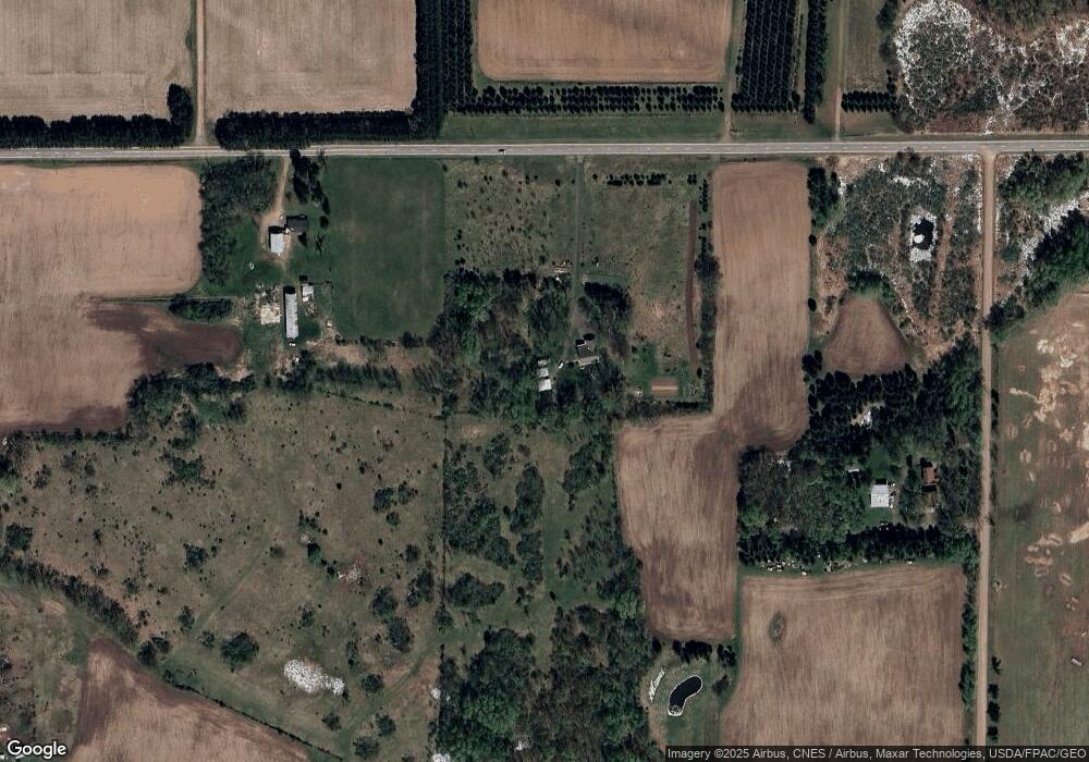
Map
Nearby Homes
- 1610 Plum St
- Nightingale St
- TBD Nightingale St
- 4163 Canary Rd
- 5234 Royal Woods Rd
- 315 4th St NW
- 307 4th St NW
- 316 Cherry Ave N
- XXX Hawthorne Ave N
- 1xx Central Dr E
- 203 Appaloosa Ct
- 209 Appaloosa Ct
- 217 Appaloosa Ct
- 215 Appaloosa Ct
- 219 Appaloosa Ct
- 213 Appaloosa Ct
- 211 Appaloosa Ct
- 1818 Sherwood St
- 1001 Lincoln Cir
- 1005 Lincoln Cir
- 1383 Quail St
- XXXX Highway 70
- 2594 Highway 70
- 2553 Highway 70
- 2618 Highway 70
- 2548 Highway 70
- 2551 Highway 70
- 2551 Highway 70
- 2549 Highway 70
- 2564 Highway 70
- 1341 Quail St
- 1341 Quail St
- 2535 Highway 70
- 2640 Highway 70
- 2552 Highway 70
- 2608 133rd Ave
- 2650 Highway 70
- 2598 145th Ave
- 1321 Quail St
- 2508 Highway 70