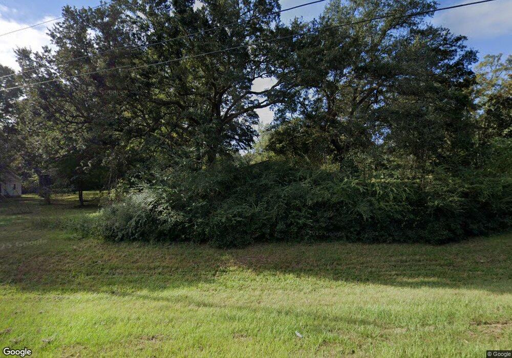
25811 Highway 43 S Picayune, MS 39466
Estimated Value: $160,000 - $245,000
3
Beds
2
Baths
1,325
Sq Ft
$159/Sq Ft
Est. Value
About This Home
This home is located at 25811 Highway 43 S, Picayune, MS 39466 and is currently estimated at $211,114, approximately $159 per square foot. 25811 Highway 43 S is a home located in Hancock County with nearby schools including West Hancock Elementary School, Nicholson Elementary School, and Hancock Middle School.
Ownership History
Date
Name
Owned For
Owner Type
Purchase Details
Closed on
Jun 13, 2022
Sold by
Flat Top Unity Baptist Church Incorporat
Bought by
Lyle Caleb A
Current Estimated Value
Home Financials for this Owner
Home Financials are based on the most recent Mortgage that was taken out on this home.
Original Mortgage
$147,474
Outstanding Balance
$140,359
Interest Rate
5.3%
Mortgage Type
New Conventional
Estimated Equity
$70,755
Create a Home Valuation Report for This Property
The Home Valuation Report is an in-depth analysis detailing your home's value as well as a comparison with similar homes in the area
Home Values in the Area
Average Home Value in this Area
Purchase History
| Date | Buyer | Sale Price | Title Company |
|---|---|---|---|
| Lyle Caleb A | -- | Pilger David B |
Source: Public Records
Mortgage History
| Date | Status | Borrower | Loan Amount |
|---|---|---|---|
| Open | Lyle Caleb A | $147,474 |
Source: Public Records
Tax History Compared to Growth
Tax History
| Year | Tax Paid | Tax Assessment Tax Assessment Total Assessment is a certain percentage of the fair market value that is determined by local assessors to be the total taxable value of land and additions on the property. | Land | Improvement |
|---|---|---|---|---|
| 2024 | $941 | $8,521 | $1,813 | $6,708 |
| 2023 | $851 | $7,699 | $1,813 | $5,886 |
| 2022 | $1,330 | $12,039 | $3,210 | $8,829 |
| 2021 | $1,330 | $12,039 | $3,210 | $8,829 |
| 2020 | $1,294 | $11,304 | $3,210 | $8,094 |
| 2019 | $1,261 | $11,036 | $3,210 | $7,826 |
| 2018 | $1,267 | $11,044 | $3,210 | $7,834 |
| 2017 | $1,271 | $11,044 | $3,210 | $7,834 |
| 2016 | $1,271 | $11,044 | $3,210 | $7,834 |
| 2015 | $1,201 | $10,686 | $3,564 | $7,122 |
| 2014 | $1,196 | $10,439 | $3,564 | $6,875 |
| 2013 | $1,158 | $10,439 | $3,564 | $6,875 |
Source: Public Records
Map
Nearby Homes
- 23027 Indian Ridge Rd
- 14014 Lott McCarty Rd
- NHN Werner Rd
- 39 Cambridge Cir
- 12033 Circle G Ranch Rd
- 12009 Circle G Ranch Rd
- 675 Old Kiln Rd
- 165 Salem Rd
- 115 Oak Allee Dr
- 24 Bear Path
- Nhn Oak Allee Dr
- 17 Winnebago Ln
- 15 Legacy Dr
- 137 Old Creek Rd
- Lot 4 Lancair Dr
- 24327 Rester Rd
- 24094 Rester Rd
- 39 Woodridge Ln
- 25215 Karly Dr
- 12201 E Pointe Dr
- 25811 Highway 43
- 25801 Highway 43
- 23410 Indian Ridge Rd
- 25861 Highway 43
- 23467 Indian Ridge Rd
- 25791 Highway 43
- 23405 Indian Ridge Rd
- 25791 Highway 43 S
- 25791 Highway 43 S
- 14004 Eccles St
- 23415 Indian Ridge Rd
- 25901 Highway 43
- 14021 Eccles St
- 14035 Ben St
- 23395 Indian Ridge Rd
- 25 Lovell Johnson Rd
- 38 Lovell Johnson Rd
- 25925 Highway 43
- 14043 Ben St
- 23377 Indian Ridge Rd
