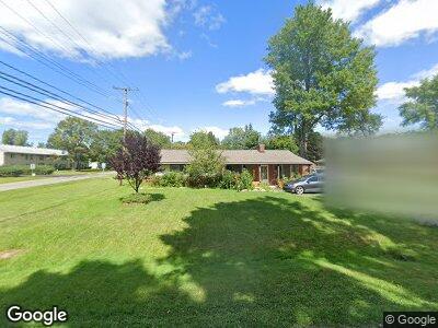
2582 Empire Dr West Bloomfield, MI 48324
Estimated Value: $262,727 - $297,000
4
Beds
2
Baths
1,943
Sq Ft
$143/Sq Ft
Est. Value
About This Home
This home is located at 2582 Empire Dr, West Bloomfield, MI 48324 and is currently estimated at $277,932, approximately $143 per square foot. 2582 Empire Dr is a home located in Oakland County with nearby schools including Walt Whitman Elementary School, Pontiac Middle School, and Pontiac High School.
Ownership History
Date
Name
Owned For
Owner Type
Purchase Details
Closed on
Sep 10, 2020
Sold by
Schlosser Jeremy Andrew and Schlosser Rashalle Lynn
Bought by
Schlosser Jeremy and Schlosser Rashalle L
Current Estimated Value
Purchase Details
Closed on
Nov 17, 2009
Sold by
Beyer John L
Bought by
Lynn Schlosser Jeremy Andrew and Lynn Thilbert Rashalle
Home Financials for this Owner
Home Financials are based on the most recent Mortgage that was taken out on this home.
Original Mortgage
$84,427
Interest Rate
5.05%
Mortgage Type
FHA
Create a Home Valuation Report for This Property
The Home Valuation Report is an in-depth analysis detailing your home's value as well as a comparison with similar homes in the area
Home Values in the Area
Average Home Value in this Area
Purchase History
| Date | Buyer | Sale Price | Title Company |
|---|---|---|---|
| Schlosser Jeremy | -- | None Available | |
| Lynn Schlosser Jeremy Andrew | $86,000 | Interstate Title Inc |
Source: Public Records
Mortgage History
| Date | Status | Borrower | Loan Amount |
|---|---|---|---|
| Open | Schiosser Jeremy Andrew | $142,500 | |
| Closed | Thibert Rashalle Lynn | $84,427 |
Source: Public Records
Tax History Compared to Growth
Tax History
| Year | Tax Paid | Tax Assessment Tax Assessment Total Assessment is a certain percentage of the fair market value that is determined by local assessors to be the total taxable value of land and additions on the property. | Land | Improvement |
|---|---|---|---|---|
| 2024 | $1,144 | $126,400 | $0 | $0 |
| 2022 | $1,091 | $108,000 | $24,700 | $83,300 |
| 2021 | $1,794 | $95,980 | $0 | $0 |
| 2020 | $1,005 | $87,160 | $24,700 | $62,460 |
| 2018 | $1,716 | $75,820 | $17,900 | $57,920 |
| 2015 | -- | $59,520 | $0 | $0 |
| 2014 | -- | $53,930 | $0 | $0 |
| 2011 | -- | $61,370 | $0 | $0 |
Source: Public Records
Map
Nearby Homes
- 2630 Depew Dr
- 2230 Middlebelt Rd
- 2265 Maddy Ln
- 2174 Middlebelt Rd
- 2365 Middlebelt Rd
- 2305 Hester Ct
- 2823 Stennett St
- 1970 Beechmont St
- 1700 Maddy Ln
- 2665 Middlebelt Rd
- 3130 Kenrick St
- 3165 Kenrick St
- 1833 Cass Lake Rd
- 2398 E Hammond Lake Dr
- 1660 Beechmont St
- 1870 Cass Lake Front Rd
- 2900 Lakewoods Ct
- 2101 Uplong St
- 2372 Pine Lake Rd
- 1968 Maplewood Ave