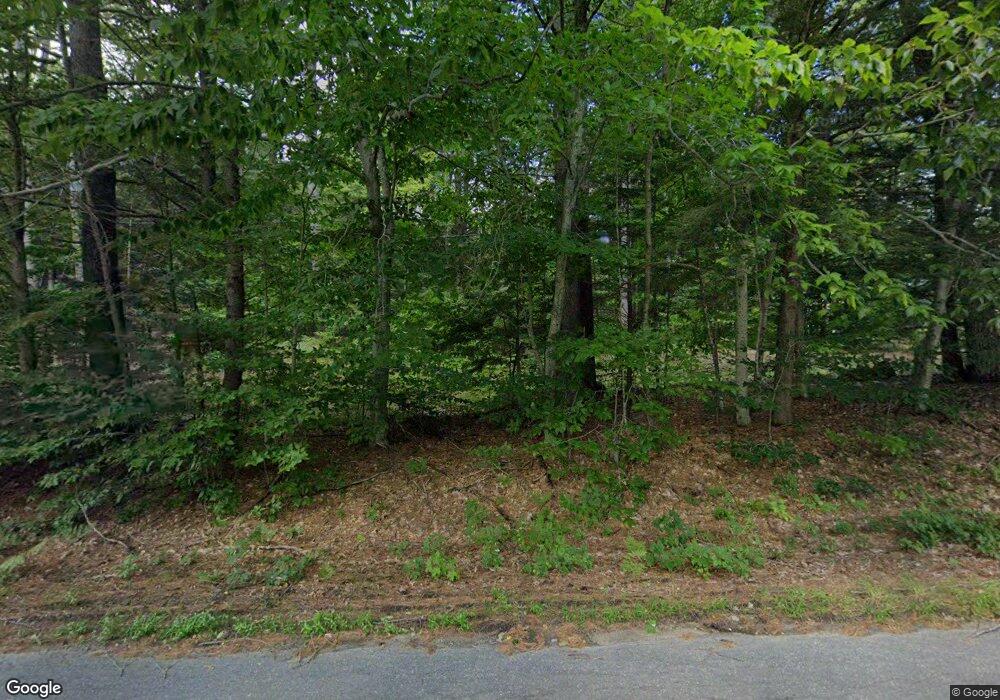
2583 Dick Brown Rd Plymouth, NH 03264
Estimated Value: $367,765 - $623,000
2
Beds
2
Baths
1,400
Sq Ft
$317/Sq Ft
Est. Value
About This Home
This home is located at 2583 Dick Brown Rd, Plymouth, NH 03264 and is currently estimated at $444,441, approximately $317 per square foot. 2583 Dick Brown Rd is a home with nearby schools including Bridgewater-Hebron Village School.
Ownership History
Date
Name
Owned For
Owner Type
Purchase Details
Closed on
Mar 1, 2010
Sold by
Raimondi Caroline
Bought by
Moytka Matthew D and Moytka Jennifer F
Current Estimated Value
Home Financials for this Owner
Home Financials are based on the most recent Mortgage that was taken out on this home.
Original Mortgage
$184,425
Outstanding Balance
$123,024
Interest Rate
5.11%
Mortgage Type
Purchase Money Mortgage
Estimated Equity
$321,417
Purchase Details
Closed on
Jul 17, 2009
Sold by
Group East Financial S
Bought by
Raimondi Caroline
Create a Home Valuation Report for This Property
The Home Valuation Report is an in-depth analysis detailing your home's value as well as a comparison with similar homes in the area
Home Values in the Area
Average Home Value in this Area
Purchase History
| Date | Buyer | Sale Price | Title Company |
|---|---|---|---|
| Moytka Matthew D | $245,900 | -- | |
| Raimondi Caroline | $115,000 | -- |
Source: Public Records
Mortgage History
| Date | Status | Borrower | Loan Amount |
|---|---|---|---|
| Open | Raimondi Caroline | $184,425 |
Source: Public Records
Tax History Compared to Growth
Tax History
| Year | Tax Paid | Tax Assessment Tax Assessment Total Assessment is a certain percentage of the fair market value that is determined by local assessors to be the total taxable value of land and additions on the property. | Land | Improvement |
|---|---|---|---|---|
| 2024 | $2,033 | $376,400 | $96,100 | $280,300 |
| 2023 | $2,038 | $252,800 | $69,900 | $182,900 |
| 2022 | $2,088 | $252,800 | $69,900 | $182,900 |
| 2021 | $2,091 | $252,800 | $69,900 | $182,900 |
| 2020 | $6,588 | $252,800 | $69,900 | $182,900 |
| 2019 | $2,059 | $211,000 | $65,900 | $145,100 |
| 2018 | $2,000 | $211,000 | $65,900 | $145,100 |
| 2017 | $5,118 | $211,000 | $65,900 | $145,100 |
| 2016 | $1,990 | $211,000 | $65,900 | $145,100 |
| 2015 | $2,054 | $211,100 | $66,300 | $144,800 |
| 2014 | $1,962 | $210,300 | $66,300 | $144,000 |
Source: Public Records
Map
Nearby Homes
- 15-B Wildflower Ln
- 3A N Ashland Rd
- 64 Fairway Dr
- 0 Oak Ridge Rd Unit 27
- 96 Fairway Dr Unit 1
- 1555 River Rd
- 121 Riverside Dr
- 613 Mayhew Turnpike Unit 227-024 & 227-023
- 585 N Ashland Rd
- 125 Thompson St
- 25 Wentworth St
- 171 Bell Rd
- 00 Hicks Hill Rd
- 862 Mayhew Turnpike Unit 1
- 28, 29 &42 Railroad & Main Square
- 33 Winterberry Ln
- 10 Merrill Rd
- 154 Bell Rd
- 75 Pleasant St
- 193 New Hebron Rd
- 2595 Dick Brown Rd
- 2655 Dick Brown Rd
- 2555 Dick Brown Rd
- 2676 Dick Brown Rd
- 2614 Dick Brown Rd
- 2529 Dick Brown Rd
- 3166 Dick Brown Rd
- 2496 Dick Brown Rd
- 2717 Dick Brown Rd
- 2717 Dick Brown Rd
- 2495 Dick Brown Rd
- 2770 Dick Brown Rd
- 2761 Dick Brown Rd
- 2452 Dick Brown Rd
- Lot 31 Dick Brown
- 2799 Dick Brown Rd
- 2808 Dick Brown Rd
- 2391 Dick Brown Rd
- 994 Texas Hill Rd
- 2284 Dick Brown Rd
