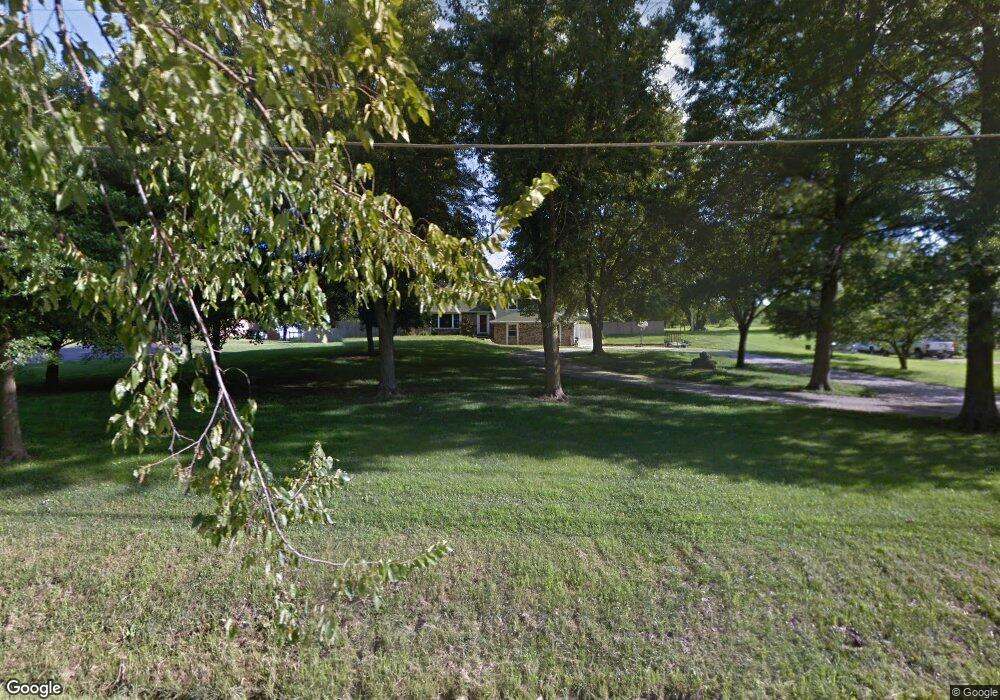
25835 W 77th St Shawnee, KS 66227
Estimated Value: $539,000 - $648,000
3
Beds
2
Baths
2,000
Sq Ft
$288/Sq Ft
Est. Value
About This Home
This home is located at 25835 W 77th St, Shawnee, KS 66227 and is currently estimated at $576,364, approximately $288 per square foot. 25835 W 77th St is a home located in Johnson County with nearby schools including Mize Elementary School, Mill Creek Middle School, and De Soto High School.
Ownership History
Date
Name
Owned For
Owner Type
Purchase Details
Closed on
Aug 16, 2013
Sold by
Barker Beverly J
Bought by
Stenberg Jason L and Stenberg Alyssa A
Current Estimated Value
Home Financials for this Owner
Home Financials are based on the most recent Mortgage that was taken out on this home.
Original Mortgage
$264,385
Outstanding Balance
$132,448
Interest Rate
4.34%
Mortgage Type
New Conventional
Estimated Equity
$443,916
Purchase Details
Closed on
May 7, 2010
Sold by
Barker Beverly J
Bought by
Barker Beverly J
Purchase Details
Closed on
Jun 21, 2005
Sold by
Hiestand Danny S and Hiestand Freida F
Bought by
Barker Beverly J
Create a Home Valuation Report for This Property
The Home Valuation Report is an in-depth analysis detailing your home's value as well as a comparison with similar homes in the area
Home Values in the Area
Average Home Value in this Area
Purchase History
| Date | Buyer | Sale Price | Title Company |
|---|---|---|---|
| Stenberg Jason L | -- | Stewart Title Company | |
| Barker Beverly J | -- | None Available | |
| Barker Beverly J | -- | First American Title |
Source: Public Records
Mortgage History
| Date | Status | Borrower | Loan Amount |
|---|---|---|---|
| Open | Stenberg Jason L | $264,385 |
Source: Public Records
Tax History Compared to Growth
Tax History
| Year | Tax Paid | Tax Assessment Tax Assessment Total Assessment is a certain percentage of the fair market value that is determined by local assessors to be the total taxable value of land and additions on the property. | Land | Improvement |
|---|---|---|---|---|
| 2024 | $6,129 | $52,635 | $19,007 | $33,628 |
| 2023 | $5,789 | $49,220 | $16,137 | $33,083 |
| 2022 | $5,223 | $43,516 | $13,455 | $30,061 |
| 2021 | $4,770 | $38,203 | $13,034 | $25,169 |
| 2020 | $4,525 | $35,903 | $13,034 | $22,869 |
| 2019 | $4,661 | $36,455 | $13,034 | $23,421 |
| 2018 | $4,415 | $34,212 | $13,034 | $21,178 |
| 2017 | $4,541 | $34,339 | $13,034 | $21,305 |
| 2016 | $4,419 | $33,005 | $13,034 | $19,971 |
| 2015 | $4,413 | $32,384 | $13,034 | $19,350 |
| 2013 | -- | $29,566 | $13,034 | $16,532 |
Source: Public Records
Map
Nearby Homes
- Lakewood Villa Plan at Mize Hill
- Newberry Plan at Mize Hill
- 7822 Houston St
- 7330 Cedar Niles Rd
- 25492 W 84th Terrace
- 26775 W 73rd St
- 26544 W 83rd Terrace
- 26555 W 83rd Terrace
- 26571 W 83rd Terrace
- 26584 W 83rd Terrace
- 25371 W 84th St
- 8357 Greentree Dr
- 8368 Greentree Dr
- 7505 Mccormick Dr
- 25481 W 84th Terrace
- 25601 W 69th Terrace
- 26561 W 84th Terrace
- 8520 Pickering St
- 8523 Pickering St
- 8408 Greentree Dr
- 25785 W 77th St
- 25885 W 77th St
- 25725 W 77th St
- 25975 W 77th St
- 25840 W 77th St
- 25700 W 77th St
- 25661 W 77th St
- 25995 W 77th St
- 0 W 77th St
- 25980 W 77th St
- NA W 77th St
- 25560 W 77th St
- 26035 W 77th St
- 9527 Shady Bend Rd Unit 3R
- 9530 Shady Bend Rd Unit 2R
- 9532 Shady Bend Rd Unit 2L
- 9538 Shady Bend Rd Unit 1R
- 9540 Shady Bend Rd Unit 1L
- 9530 Shady Bend Rd
- 9532 Shady Bend Rd