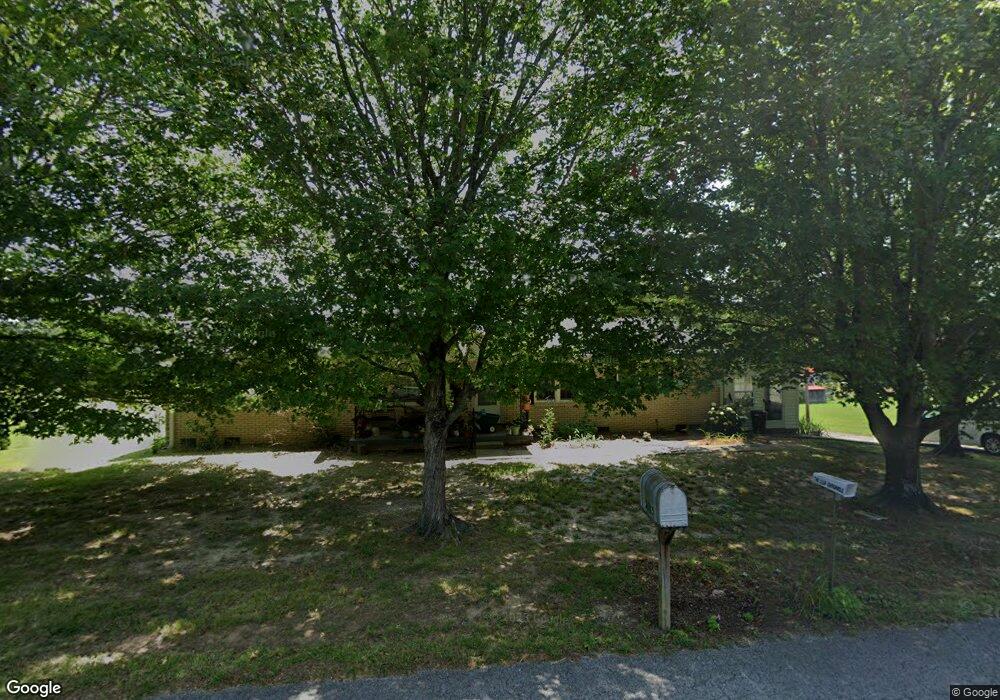
2585 Hurricane Loop Tennessee Ridge, TN 37178
Estimated Value: $207,212 - $248,000
Studio
2
Baths
1,500
Sq Ft
$151/Sq Ft
Est. Value
About This Home
This home is located at 2585 Hurricane Loop, Tennessee Ridge, TN 37178 and is currently estimated at $226,553, approximately $151 per square foot. 2585 Hurricane Loop is a home located in Houston County.
Ownership History
Date
Name
Owned For
Owner Type
Purchase Details
Closed on
Nov 30, 2009
Sold by
Oldham Nancy C
Bought by
Fuessel Paul A
Current Estimated Value
Home Financials for this Owner
Home Financials are based on the most recent Mortgage that was taken out on this home.
Original Mortgage
$68,000
Outstanding Balance
$44,063
Interest Rate
5.01%
Mortgage Type
Cash
Estimated Equity
$182,490
Purchase Details
Closed on
Sep 17, 1992
Bought by
Oldham James Ronnie and Oldham Nancy C
Purchase Details
Closed on
Jul 14, 1992
Bought by
Redlin Cornell L and Redlin Ethel
Purchase Details
Closed on
Feb 26, 1970
Bought by
Redlin Cornell L and Redlin Ethel
Create a Home Valuation Report for This Property
The Home Valuation Report is an in-depth analysis detailing your home's value as well as a comparison with similar homes in the area
Purchase History
| Date | Buyer | Sale Price | Title Company |
|---|---|---|---|
| Fuessel Paul A | $85,000 | -- | |
| Oldham James Ronnie | $47,500 | -- | |
| Redlin Cornell L | -- | -- | |
| Redlin Cornell L | -- | -- | |
| Fuessel Paul A | $85,000 | -- |
Source: Public Records
Mortgage History
| Date | Status | Borrower | Loan Amount |
|---|---|---|---|
| Open | Redlin Cornell L | $68,000 | |
| Closed | Fuessel Paul A | $68,000 |
Source: Public Records
Tax History
| Year | Tax Paid | Tax Assessment Tax Assessment Total Assessment is a certain percentage of the fair market value that is determined by local assessors to be the total taxable value of land and additions on the property. | Land | Improvement |
|---|---|---|---|---|
| 2025 | -- | $44,575 | $2,875 | $41,700 |
| 2024 | -- | $44,575 | $2,875 | $41,700 |
| 2023 | $1,000 | $44,575 | $2,875 | $41,700 |
| 2022 | $903 | $25,250 | $1,950 | $23,300 |
| 2021 | $890 | $25,250 | $1,950 | $23,300 |
| 2020 | $869 | $25,250 | $1,950 | $23,300 |
| 2019 | $869 | $21,775 | $2,800 | $18,975 |
| 2018 | $858 | $21,775 | $2,800 | $18,975 |
| 2017 | $858 | $21,775 | $2,800 | $18,975 |
| 2016 | $858 | $21,775 | $2,800 | $18,975 |
| 2015 | $858 | $21,775 | $2,800 | $18,975 |
| 2014 | -- | $20,461 | $0 | $0 |
Source: Public Records
Map
Nearby Homes
- 0 Hurricane Loop
- 155 Rolling Hills Dr
- 1239 N Main St
- 0 Main St N Unit RTC2988796
- 0 Main St N Unit RTC3003416
- 0 Main St N Unit RTC2987692
- 0 Main St N Unit RTC2988794
- 0 Main St N Unit RTC2988130
- 0 Main St N Unit RTC2988128
- 0 Main St N Unit RTC2987687
- 0 Main St N Unit RTC2988129
- 0 Main St N Unit RTC2988126
- 0 Main St N Unit RTC2988125
- 0 Main St N Unit RTC3003418
- 0 Main St N Unit RTC2988793
- 0 Main St N Unit RTC3006740
- 0 Main St N Unit RTC2988127
- 0 Main St N Unit RTC3003412
- 550 Lakeview Cir
- 630 Lakeview Cir
- 2570 Hurricane Loop
- 2600 Hurricane Loop
- 2535 Hurricane Loop
- 2885 Hurricane Loop
- 2665 Hurricane Loop
- 260 Old Stewart Rd
- 290 Old Stewart Rd
- 140 Old Stewart Rd
- 2475 Hurricane Loop
- 65 Sara Acres Dr
- 265 Old Stewart Rd
- 320 Old Stewart Rd
- 2449 Hurricane Loop
- 2460 Hurricane Loop
- 75 Pine Dr
- 2453 Hurricane Loop
- 235 Old Stewart Rd
- 215 Old Stewart Rd
- 2447 Hurricane Loop
- 30 Andrew Dr
Your Personal Tour Guide
Ask me questions while you tour the home.