2585 Queens Branch Rd Rogue River, OR 97537
Estimated Value: $778,000 - $1,208,000
3
Beds
3
Baths
3,217
Sq Ft
$297/Sq Ft
Est. Value
About This Home
This home is located at 2585 Queens Branch Rd, Rogue River, OR 97537 and is currently estimated at $956,551, approximately $297 per square foot. 2585 Queens Branch Rd is a home located in Jackson County with nearby schools including South Valley Academy, Rogue River Elementary School, and Rogue River Junior/Senior High School.
Ownership History
Date
Name
Owned For
Owner Type
Purchase Details
Closed on
Feb 19, 2021
Sold by
Shores Terry D and Shores Tamara K
Bought by
Wehling Richard H and Thomas Wehling Leanna
Current Estimated Value
Home Financials for this Owner
Home Financials are based on the most recent Mortgage that was taken out on this home.
Original Mortgage
$303,000
Outstanding Balance
$271,000
Interest Rate
2.7%
Mortgage Type
New Conventional
Estimated Equity
$685,551
Create a Home Valuation Report for This Property
The Home Valuation Report is an in-depth analysis detailing your home's value as well as a comparison with similar homes in the area
Home Values in the Area
Average Home Value in this Area
Purchase History
| Date | Buyer | Sale Price | Title Company |
|---|---|---|---|
| Wehling Richard H | $945,250 | First American Title |
Source: Public Records
Mortgage History
| Date | Status | Borrower | Loan Amount |
|---|---|---|---|
| Open | Wehling Richard H | $303,000 |
Source: Public Records
Tax History Compared to Growth
Tax History
| Year | Tax Paid | Tax Assessment Tax Assessment Total Assessment is a certain percentage of the fair market value that is determined by local assessors to be the total taxable value of land and additions on the property. | Land | Improvement |
|---|---|---|---|---|
| 2025 | $2,939 | $285,382 | $51,682 | $233,700 |
| 2024 | $2,939 | $277,195 | $50,295 | $226,900 |
| 2023 | $2,856 | $269,243 | $48,933 | $220,310 |
| 2022 | $2,766 | $269,243 | $48,933 | $220,310 |
| 2021 | $2,505 | $243,706 | $47,636 | $196,070 |
| 2020 | $2,441 | $236,725 | $46,365 | $190,360 |
| 2019 | $2,374 | $223,376 | $43,936 | $179,440 |
| 2018 | $2,311 | $216,989 | $42,759 | $174,230 |
| 2017 | $2,264 | $216,989 | $42,759 | $174,230 |
| 2016 | $3,141 | $296,086 | $100,126 | $195,960 |
| 2015 | $3,042 | $296,086 | $100,126 | $195,960 |
| 2014 | $2,936 | $279,332 | $94,602 | $184,730 |
Source: Public Records
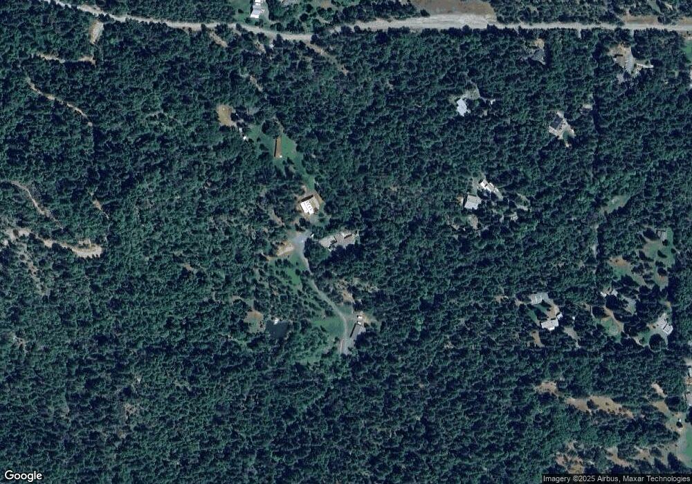
Map
Nearby Homes
- 7435 W Evans Creek Rd
- 8797 W Evans Creek Rd
- 7310 W Evans Creek Rd
- 7118 Redthorne Rd
- 835 Minthorne Rd
- 9184 W Evans Creek Rd
- 1205 Pine Grove Rd
- 1105 Pine Grove Rd
- 255 Queens Branch Rd
- 149 Queens Branch Rd
- 1475 Pleasant Creek Rd
- 6324 E Evans Creek Rd
- 5406 E Evans Creek Rd
- 643 Covered Bridge Rd
- 0 Jump Creek Rd Unit 104823965
- 8951 E Evans Creek Rd Unit 14
- 256 Deruyte Way
- 257 Deruyte Way
- 254 Deruyte Way
- 255 Deruyte Way
- 2011 Queens Branch Rd
- 2405 Queens Branch Rd
- 2017 Queens Branch Rd
- 2572 Queens Branch Rd
- 2335 Queens Branch Rd
- 2365 Queens Branch Rd
- 2029 Queens Branch Rd Unit 2023
- 2029 Queens Branch Rd
- 2275 Queens Branch Rd
- 2021 Queens Branch Rd
- 2280 Queens Branch Rd
- 2213 Queens Branch Rd
- 2031 Queens Branch Rd
- 2101 Queens Branch Rd
- 2035 Queens Branch Rd
- 2085 Queens Branch Rd
- 2220 Queens Branch Rd
- 1917 Queens Branch Rd
- 2025 Queens Branch Rd