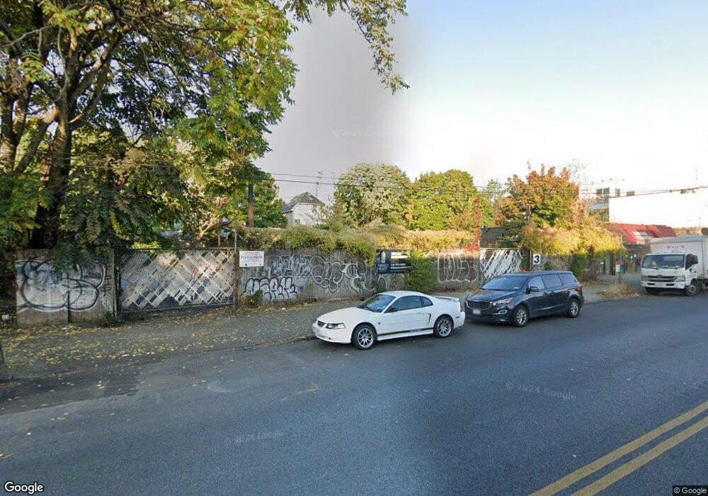
2586-2600 Nostrand Ave Brooklyn, NY 11210
Midwood NeighborhoodEstimated Value: $1,737,930
--
Bed
--
Bath
--
Sq Ft
0.29
Acres
About This Home
This home is located at 2586-2600 Nostrand Ave, Brooklyn, NY 11210 and is currently estimated at $1,737,930. 2586-2600 Nostrand Ave is a home located in Kings County with nearby schools including P.S. 193 Gil Hodges, Andries Hudde School, and Ivy Hill Preparatory Charter School.
Ownership History
Date
Name
Owned For
Owner Type
Purchase Details
Closed on
Jun 29, 2017
Sold by
Robin-Lesley Corp
Bought by
2586 Nostrand Llc
Current Estimated Value
Home Financials for this Owner
Home Financials are based on the most recent Mortgage that was taken out on this home.
Original Mortgage
$650,000
Outstanding Balance
$540,040
Interest Rate
3.89%
Mortgage Type
Commercial
Estimated Equity
$1,197,890
Create a Home Valuation Report for This Property
The Home Valuation Report is an in-depth analysis detailing your home's value as well as a comparison with similar homes in the area
Home Values in the Area
Average Home Value in this Area
Purchase History
| Date | Buyer | Sale Price | Title Company |
|---|---|---|---|
| 2586 Nostrand Llc | $1,600,000 | -- |
Source: Public Records
Mortgage History
| Date | Status | Borrower | Loan Amount |
|---|---|---|---|
| Open | 2586 Nostrand Llc | $650,000 |
Source: Public Records
Tax History Compared to Growth
Tax History
| Year | Tax Paid | Tax Assessment Tax Assessment Total Assessment is a certain percentage of the fair market value that is determined by local assessors to be the total taxable value of land and additions on the property. | Land | Improvement |
|---|---|---|---|---|
| 2025 | $73,770 | $990,900 | $990,900 | -- |
| 2024 | $73,770 | $986,850 | $986,850 | $0 |
| 2023 | $63,271 | $796,950 | $796,950 | $0 |
| 2022 | $55,314 | $612,900 | $612,900 | $0 |
| 2021 | $49,355 | $622,350 | $622,350 | $0 |
| 2020 | $24,677 | $547,650 | $547,650 | $0 |
| 2019 | $34,113 | $476,100 | $476,100 | $0 |
| 2018 | $28,643 | $396,900 | $396,900 | $0 |
| 2017 | $24,079 | $264,600 | $264,600 | $0 |
| 2016 | $22,580 | $249,300 | $249,300 | $0 |
| 2015 | $14,253 | $235,350 | $235,350 | $0 |
| 2014 | $14,253 | $216,000 | $216,000 | $0 |
Source: Public Records
Map
Nearby Homes
- 2525 Nostrand Ave Unit 5S
- 2525 Nostrand Ave Unit 3R
- 2525 Nostrand Ave Unit 7S
- 2525 Nostrand Ave Unit 7E
- 2525 Nostrand Ave Unit 2R
- 1333 E 26th St
- 1328 E 35th St
- 3206 Avenue K
- 1358 E 35th St
- 3117 Kings Hwy
- 1327 E 34th St
- 3115 Kings Hwy
- 3402 Kings Hwy
- 2411 Ave M
- 3222 Kings Hwy
- 3152 Kings Hwy
- 1414 E 28th St
- 1429 E 29th St
- 3324 Avenue N
- 2307 Avenue M
- 2580-2584 Nostrand Ave
- 1225 E 29th St
- 1227 E 29th St
- 1221 E 29th St
- 2604-2612 Nostrand Ave
- 2604 Nostrand Ave
- 1217 E 29th St
- 1233 E 29th St
- 1213 E 29th St
- 1237 E 29th St
- 2920 Avenue L
- 2922 Avenue L
- 2918 Avenue L
- 2926 Avenue L
- 1239 E 29th St
- 1209 E 29th St
- 2914 Avenue L
- 2577-2599 Nostrand Ave
- 1205 E 29th St
- 1243 E 29th St