25883 Euclid Ave Wyoming, MN 55092
Estimated Value: $478,278 - $619,000
5
Beds
3
Baths
1,564
Sq Ft
$336/Sq Ft
Est. Value
About This Home
This home is located at 25883 Euclid Ave, Wyoming, MN 55092 and is currently estimated at $525,320, approximately $335 per square foot. 25883 Euclid Ave is a home located in Chisago County with nearby schools including Columbus Elementary School, Forest Lake Area Middle School, and Forest Lake Area High School.
Ownership History
Date
Name
Owned For
Owner Type
Purchase Details
Closed on
Mar 16, 2010
Sold by
Invescorp Inc
Bought by
Christine L Berg
Current Estimated Value
Purchase Details
Closed on
Sep 9, 2008
Sold by
Not Provided
Bought by
Invescorp Inc
Home Financials for this Owner
Home Financials are based on the most recent Mortgage that was taken out on this home.
Original Mortgage
$160,000
Interest Rate
6.57%
Mortgage Type
Construction
Purchase Details
Closed on
Nov 9, 2005
Sold by
Advanced Property Development Llp
Bought by
C S Homes Llc
Create a Home Valuation Report for This Property
The Home Valuation Report is an in-depth analysis detailing your home's value as well as a comparison with similar homes in the area
Home Values in the Area
Average Home Value in this Area
Purchase History
| Date | Buyer | Sale Price | Title Company |
|---|---|---|---|
| Christine L Berg | $239,000 | -- | |
| Invescorp Inc | $53,000 | -- | |
| C S Homes Llc | $323,600 | -- |
Source: Public Records
Mortgage History
| Date | Status | Borrower | Loan Amount |
|---|---|---|---|
| Previous Owner | Invescorp Inc | $160,000 |
Source: Public Records
Tax History Compared to Growth
Tax History
| Year | Tax Paid | Tax Assessment Tax Assessment Total Assessment is a certain percentage of the fair market value that is determined by local assessors to be the total taxable value of land and additions on the property. | Land | Improvement |
|---|---|---|---|---|
| 2023 | $5,744 | $467,200 | $80,000 | $387,200 |
| 2022 | $5,744 | $452,000 | $80,000 | $372,000 |
| 2021 | $5,066 | $347,600 | $0 | $0 |
| 2020 | $5,032 | $342,800 | $64,000 | $278,800 |
| 2019 | $4,822 | $0 | $0 | $0 |
| 2018 | $4,224 | $0 | $0 | $0 |
| 2017 | $4,366 | $0 | $0 | $0 |
| 2016 | $3,978 | $0 | $0 | $0 |
| 2015 | $3,632 | $0 | $0 | $0 |
| 2014 | -- | $213,800 | $0 | $0 |
Source: Public Records
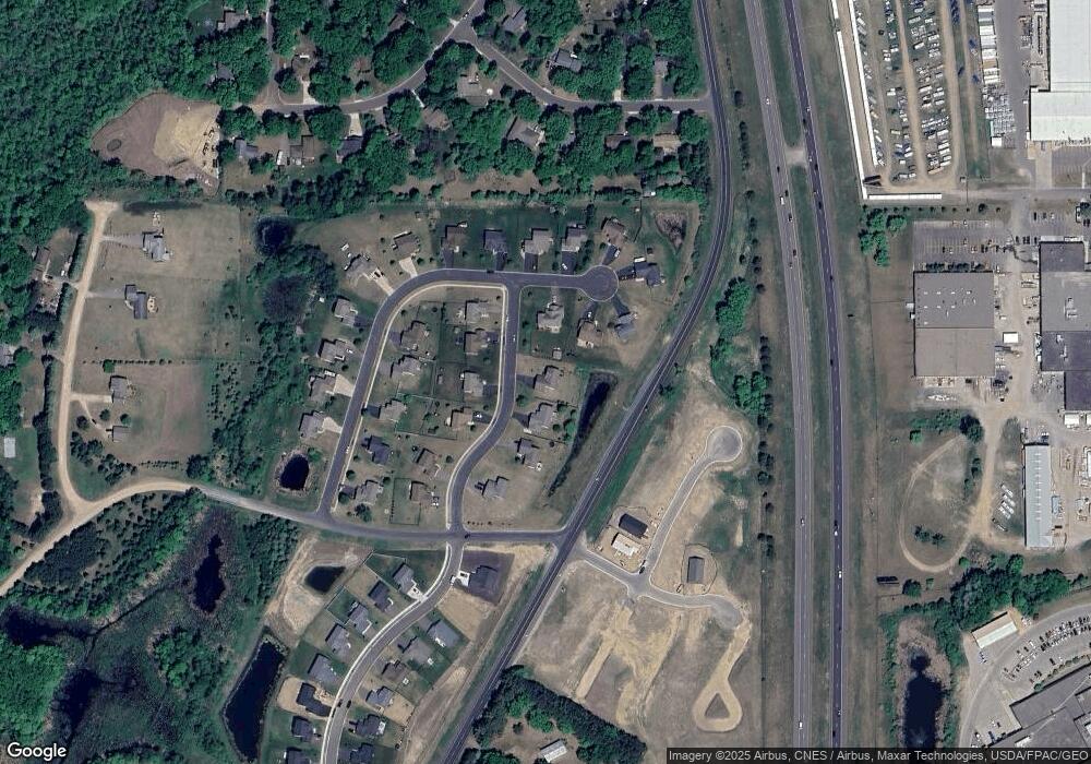
Map
Nearby Homes
- 25850 Emerson Ct
- 25874 Emerson Ct
- 25830 Emerson Ct
- 25840 Emerson Ct
- 25775 Euclid Ave
- 4880 261st St
- 5042 258th Ct
- 4787 261st St
- 4781 261st St
- 4885 262nd St
- 25686 Euclid Ave
- 4847 264th Ct
- 25338 Farmstead Ln
- 26237 Forest Blvd N
- 5747 261st St
- 25649 Forest Boulevard Ct
- 25659 Forest Boulevard Ct
- 25152 Firefly Ave
- 25124 Firefly Ave
- 6215 Forest Boulevard Trail
- 4923 259th Ct
- 25888 Euclid Ave
- 4939 259th Ct
- 25874 Euclid Ave
- 25865 Euclid Ave
- 25860 Euclid Ave
- xxx Euclid Ave
- xxx Edison Ave
- xxx 259 Th Ct
- 4916 259th Ct
- 25894 Edison Ave
- 25851 Euclid Ave
- 4934 259th Ct
- 4949 259th Ct
- 25859 Edison Ave
- 25844 Euclid Ave
- 25835 25835 Euclid Ave
- 25884 Edison Ave
- 25839 Euclid Ave
- 25845 Edison Ave