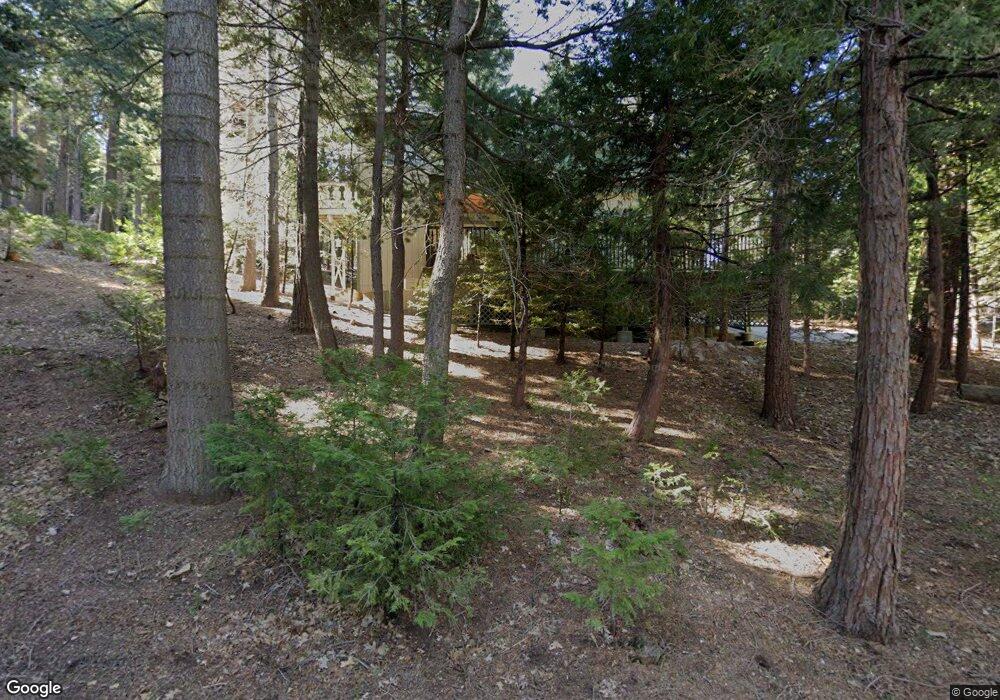
25887 Mile Pine Rd Twin Peaks, CA 92391
Estimated Value: $328,966 - $388,000
2
Beds
2
Baths
1,350
Sq Ft
$273/Sq Ft
Est. Value
About This Home
This home is located at 25887 Mile Pine Rd, Twin Peaks, CA 92391 and is currently estimated at $368,742, approximately $273 per square foot. 25887 Mile Pine Rd is a home with nearby schools including Valley Of Enchantment Elementary School, Mary P. Henck Intermediate School, and Rim Of The World Senior High School.
Ownership History
Date
Name
Owned For
Owner Type
Purchase Details
Closed on
Jun 4, 2003
Sold by
Spilotro Vance A and Spilotro Betty L
Bought by
Spilotro Vance A and Spilotro Betty L
Current Estimated Value
Purchase Details
Closed on
Apr 29, 2003
Sold by
Spilotro Vance A and Spilotro Betty L
Bought by
Spilotro Vance A and Spilotro Betty L
Purchase Details
Closed on
Aug 24, 1998
Sold by
Bullman George W
Bought by
Spilotro Vance A and Spilotro Betty L
Home Financials for this Owner
Home Financials are based on the most recent Mortgage that was taken out on this home.
Original Mortgage
$70,000
Interest Rate
6.91%
Create a Home Valuation Report for This Property
The Home Valuation Report is an in-depth analysis detailing your home's value as well as a comparison with similar homes in the area
Home Values in the Area
Average Home Value in this Area
Purchase History
| Date | Buyer | Sale Price | Title Company |
|---|---|---|---|
| Spilotro Vance A | -- | -- | |
| Spilotro Vance A | -- | -- | |
| Spilotro Vance A | $95,000 | First American Title Ins Co |
Source: Public Records
Mortgage History
| Date | Status | Borrower | Loan Amount |
|---|---|---|---|
| Previous Owner | Spilotro Vance A | $70,000 |
Source: Public Records
Tax History Compared to Growth
Tax History
| Year | Tax Paid | Tax Assessment Tax Assessment Total Assessment is a certain percentage of the fair market value that is determined by local assessors to be the total taxable value of land and additions on the property. | Land | Improvement |
|---|---|---|---|---|
| 2025 | $2,359 | $170,432 | $23,513 | $146,919 |
| 2024 | $2,359 | $167,090 | $23,052 | $144,038 |
| 2023 | $2,330 | $163,814 | $22,600 | $141,214 |
| 2022 | $2,285 | $160,602 | $22,157 | $138,445 |
| 2021 | $2,258 | $157,453 | $21,723 | $135,730 |
| 2020 | $2,253 | $155,838 | $21,500 | $134,338 |
| 2019 | $2,203 | $152,782 | $21,078 | $131,704 |
| 2018 | $1,953 | $149,787 | $20,665 | $129,122 |
| 2017 | $1,919 | $146,850 | $20,260 | $126,590 |
| 2016 | $1,846 | $143,971 | $19,863 | $124,108 |
| 2015 | $1,845 | $141,809 | $19,565 | $122,244 |
| 2014 | $1,816 | $139,031 | $19,182 | $119,849 |
Source: Public Records
Map
Nearby Homes
- 1040 Mile High Rd
- 968 California 189
- 25837 Sunset Loop
- 25560 Hi Place
- 0 Mid Ln Unit ND25195039
- 25626 Mid Ln
- 25576 Hi Ln
- 0 Lo Ln Unit SW25182446
- 0 Lo Ln Unit HD25034209
- 25619 Lo Ln
- 25907 Mile Pine Rd
- 26520 Walnut Hills Dr
- 260 S Fairway Dr
- 0 Lake Forest Boulder Unit IG25041937
- 0 Hwy 189 Unit IG24229527
- 28 Forest Ln
- 25515 True Ln
- 0 Pine Unit SW25182435
- 0 Pine Unit IG25156077
- 0 Pine Unit 32501723
- 25867 Mill Pine Rd
- 1090 Mile High Rd
- 25857 Mile Pine Rd
- 25866 Mile Pine Rd
- 1060 Mile High Rd
- 25924 Mile Pine Rd
- 1068 Mile High Rd
- 1078 Mile High Rd
- 1050 Mile High Rd
- 25893 California 189
- 1086 Mile High Rd
- 25903 State Highway 189
- 25903 California 189
- 25881 State Highway 189
- 25837 Mile Pine Rd
- 25846 Mile Pine Rd
- 1027 Mile High Rd
- 25871 State Highway 189
- 25855 State Highway 189
- 25855 California 189
