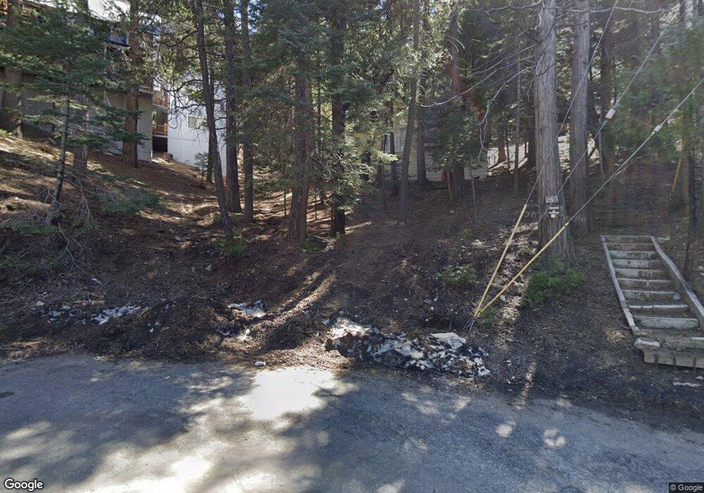
259 Burnt Mill Rd Lake Arrowhead, CA 92352
Estimated Value: $313,794 - $536,000
3
Beds
1
Bath
870
Sq Ft
$477/Sq Ft
Est. Value
About This Home
This home is located at 259 Burnt Mill Rd, Lake Arrowhead, CA 92352 and is currently estimated at $415,265, approximately $477 per square foot. 259 Burnt Mill Rd is a home with nearby schools including Lake Arrowhead Elementary School, Mary P. Henck Intermediate School, and Rim Of The World Senior High School.
Ownership History
Date
Name
Owned For
Owner Type
Purchase Details
Closed on
Jun 1, 2017
Sold by
Reynolds Erica
Bought by
Reynolds Erica L and J & E Reynolds Family Trust
Current Estimated Value
Purchase Details
Closed on
Jan 7, 2002
Sold by
Kruckeberg Beverly Jean
Bought by
Reynolds Erica
Purchase Details
Closed on
Aug 4, 1997
Sold by
Wuesthoff Paul S
Bought by
Reynolds Erica
Purchase Details
Closed on
Sep 26, 1996
Sold by
Wuesthoff Paul S and Wuesthoff Beverly J
Bought by
Kruckeberg Beverly Jean
Create a Home Valuation Report for This Property
The Home Valuation Report is an in-depth analysis detailing your home's value as well as a comparison with similar homes in the area
Home Values in the Area
Average Home Value in this Area
Purchase History
| Date | Buyer | Sale Price | Title Company |
|---|---|---|---|
| Reynolds Erica L | -- | None Available | |
| Reynolds Erica | -- | -- | |
| Reynolds Erica | -- | -- | |
| Kruckeberg Beverly Jean | -- | -- | |
| Wuesthoff Paul S | -- | -- |
Source: Public Records
Tax History
| Year | Tax Paid | Tax Assessment Tax Assessment Total Assessment is a certain percentage of the fair market value that is determined by local assessors to be the total taxable value of land and additions on the property. | Land | Improvement |
|---|---|---|---|---|
| 2025 | $1,662 | $117,928 | $74,345 | $43,583 |
| 2024 | $1,586 | $115,615 | $72,887 | $42,728 |
| 2023 | $1,569 | $113,348 | $71,458 | $41,890 |
| 2022 | $1,677 | $111,126 | $70,057 | $41,069 |
| 2021 | $1,522 | $108,947 | $68,683 | $40,264 |
| 2020 | $1,518 | $107,830 | $67,979 | $39,851 |
| 2019 | $1,486 | $105,716 | $66,646 | $39,070 |
| 2018 | $1,558 | $103,643 | $65,339 | $38,304 |
| 2017 | $1,537 | $101,611 | $64,058 | $37,553 |
| 2016 | $1,514 | $99,619 | $62,802 | $36,817 |
| 2015 | $1,506 | $98,123 | $61,859 | $36,264 |
| 2014 | $1,484 | $96,201 | $60,647 | $35,554 |
Source: Public Records
Map
Nearby Homes
- 329 Summit Rd
- 0 Terrace Rd Unit 32500984
- 0 Terrace Rd Unit IG25091707
- 27844 Greenway Dr
- 305 Summit Rd
- 377 Hillside Rd
- 197 Rocky Point Rd
- 244 Corona Cir
- 27828 Rainbow Dr
- 226 Holiday Dr
- 27981 Lakes Edge Rd
- 27961 Rainbow Dr
- 252 Crest Circle Dr
- 27500 Highway 189 Unit 83
- 27500 Highway 189 Unit 36
- 27500 California 189
- 27500 California 189 Unit 81
- 551 Raccoon Ct
- 101 Village Bay Unit 1
- 27346 N Bay Rd
- 264 Hillside Dr
- 264 Hillside Rd
- 282 Terrace Rd
- 294 Terrace Rd
- 286 S Terrace Rd
- 269 Red Rock Rd
- 286 Terrace Rd
- 278 N Terrace Rd
- 285 N Terrace Rd
- 240 Burnt Mill Rd
- 236 Burnt Mill Rd
- 337 Castle Gate Rd
- 341 Castle Gate Rd
- 266 Redrock Rd
- 270 Hillside Rd
- 274 N Terrace Rd
- 345 Castle Gate Rd
- 257 Burnt Mill Rd
- 333 Castle Gate Rd
- 244 Burnt Mill Rd
Your Personal Tour Guide
Ask me questions while you tour the home.