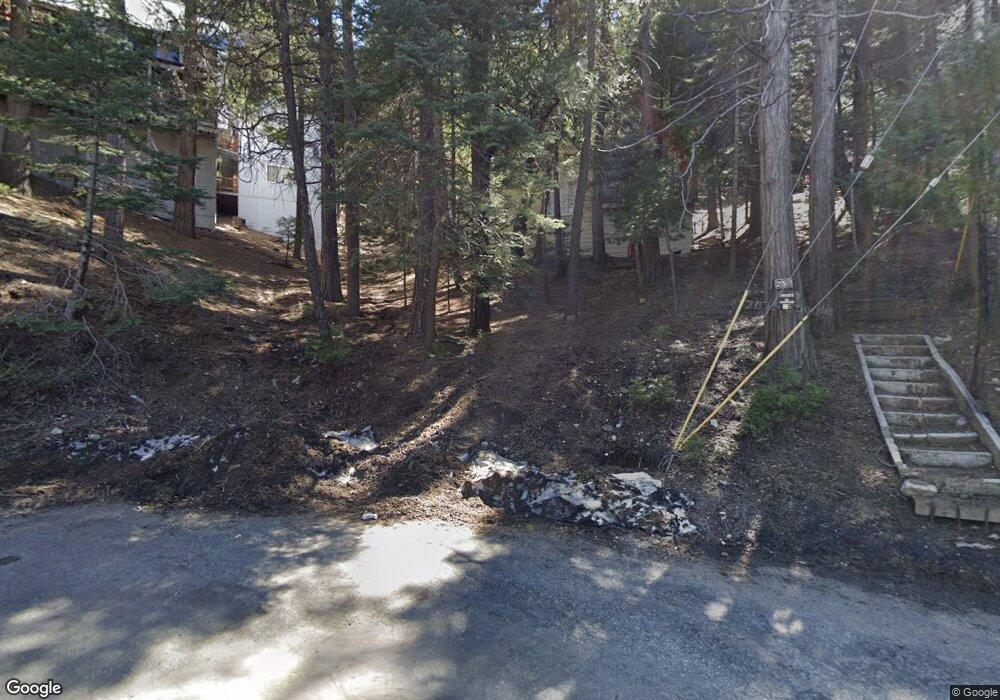
259 Burnt Mill Rd Lake Arrowhead, CA 92352
Estimated Value: $300,000 - $475,000
About This Home
This home is located at 259 Burnt Mill Rd, Lake Arrowhead, CA 92352 and is currently estimated at $359,429, approximately $413 per square foot. 259 Burnt Mill Rd is a home with nearby schools including Lake Arrowhead Elementary School, Mary P. Henck Intermediate School, and Rim Of The World Senior High School.
Ownership History
We collect this data history from publicly available records. To have your information removed, we recommend requesting removal directly through your county’s website.
Purchase Details
Purchase Details
Purchase Details
Purchase Details
Home Values in the Area
Average Home Value in this Area
Purchase History
We collect this data history from publicly available records. To have your information removed, we recommend requesting removal directly through your county’s website.
| Date | Buyer | Sale Price | Title Company |
|---|---|---|---|
| -- | None Available | ||
| -- | -- | ||
| -- | -- | ||
| -- | -- | ||
| -- | -- |
Tax History
We collect this data history from publicly available records. To have your information removed, we recommend requesting removal directly through your county’s website.
| Year | Tax Paid | Tax Assessment Tax Assessment Total Assessment is a certain percentage of the fair market value that is determined by local assessors to be the total taxable value of land and additions on the property. | Land | Improvement |
|---|---|---|---|---|
| 2025 | $1,662 | $117,928 | $74,345 | $43,583 |
| 2024 | $1,586 | $115,615 | $72,887 | $42,728 |
| 2023 | $1,569 | $113,348 | $71,458 | $41,890 |
| 2022 | $1,677 | $111,126 | $70,057 | $41,069 |
| 2021 | $1,522 | $108,947 | $68,683 | $40,264 |
| 2020 | $1,518 | $107,830 | $67,979 | $39,851 |
| 2019 | $1,486 | $105,716 | $66,646 | $39,070 |
| 2018 | $1,558 | $103,643 | $65,339 | $38,304 |
| 2017 | $1,537 | $101,611 | $64,058 | $37,553 |
| 2016 | $1,514 | $99,619 | $62,802 | $36,817 |
| 2015 | $1,506 | $98,123 | $61,859 | $36,264 |
| 2014 | $1,484 | $96,201 | $60,647 | $35,554 |
Map
- 349 Castle Gate
- 329 Summit Rd
- 269 Hillside Rd
- 377 Hillside Rd
- 404 Hillside Rd
- 309 Castle Gate Rd
- 305 Summit Rd
- 260 Burnt Mill Rd
- 27844 Greenway Dr
- 27820 Rainbow Dr
- 27961 Rainbow Dr
- 27831 Rainbow
- 234 Crest Cir
- 244 Corona Cir
- 222 Holiday Dr
- 226 Holiday Dr
- 27981 Lakes Edge Rd
- 257 N Corona Cir
- 551 Raccoon Ct
- 27500 Highway 189 Unit 83
- 353 Castle Gate Rd
- 345 Castle Gate Rd
- 354 Castle Gate Rd
- 310 N Terrace Rd
- 294 Terrace Rd
- 341 Castle Gate Rd
- 286 Terrace Rd
- 363 Castle Gate Rd
- 360 Castle Gate Rd
- 0 Castlegate Unit E09083466
- 0 Castlegate Unit I12032206
- 0 Castlegate Unit K12119090
- 0 Castlegate Unit IG13087984
- 0 Castlegate Unit EV14182106
- 0 Castlegate Unit RW2141592
- 0 Castlegate Unit RW291546
- 0 Castlegate Unit RW290135
- 0 Castlegate Unit RW290525
- 0 Castlegate Unit RW2170079
- 0 Castlegate Unit RW2111675
Ask me questions while you tour the home.