259 Cairn Ridge Rd East Falmouth, MA 02536
Hatchville NeighborhoodEstimated Value: $1,611,000 - $2,166,000
6
Beds
4
Baths
5,571
Sq Ft
$346/Sq Ft
Est. Value
About This Home
This home is located at 259 Cairn Ridge Rd, East Falmouth, MA 02536 and is currently estimated at $1,929,846, approximately $346 per square foot. 259 Cairn Ridge Rd is a home located in Barnstable County with nearby schools including North Falmouth Elementary School, Morse Pond School, and Lawrence School.
Ownership History
Date
Name
Owned For
Owner Type
Purchase Details
Closed on
Nov 16, 2004
Sold by
Kelly Christopher and Kelly John C
Bought by
Kelly Rt and Kelly
Current Estimated Value
Home Financials for this Owner
Home Financials are based on the most recent Mortgage that was taken out on this home.
Original Mortgage
$750,000
Outstanding Balance
$368,340
Interest Rate
5.75%
Mortgage Type
Purchase Money Mortgage
Estimated Equity
$1,561,506
Purchase Details
Closed on
Dec 30, 2003
Sold by
Anderson Bruce
Bought by
Kelly John C and Kelly Christopher
Home Financials for this Owner
Home Financials are based on the most recent Mortgage that was taken out on this home.
Original Mortgage
$262,000
Interest Rate
6.01%
Mortgage Type
Purchase Money Mortgage
Create a Home Valuation Report for This Property
The Home Valuation Report is an in-depth analysis detailing your home's value as well as a comparison with similar homes in the area
Home Values in the Area
Average Home Value in this Area
Purchase History
| Date | Buyer | Sale Price | Title Company |
|---|---|---|---|
| Kelly Rt | -- | -- | |
| Kelly John C | $327,500 | -- |
Source: Public Records
Mortgage History
| Date | Status | Borrower | Loan Amount |
|---|---|---|---|
| Open | Kelly Rt | $750,000 | |
| Closed | Kelly Rt | $750,000 | |
| Previous Owner | Kelly John C | $262,000 |
Source: Public Records
Tax History Compared to Growth
Tax History
| Year | Tax Paid | Tax Assessment Tax Assessment Total Assessment is a certain percentage of the fair market value that is determined by local assessors to be the total taxable value of land and additions on the property. | Land | Improvement |
|---|---|---|---|---|
| 2025 | $12,150 | $2,069,900 | $566,100 | $1,503,800 |
| 2024 | $11,585 | $1,844,700 | $516,100 | $1,328,600 |
| 2023 | $10,529 | $1,521,500 | $412,900 | $1,108,600 |
| 2022 | $10,278 | $1,276,800 | $341,900 | $934,900 |
| 2021 | $9,133 | $1,074,500 | $327,000 | $747,500 |
| 2020 | $8,975 | $1,044,800 | $297,300 | $747,500 |
| 2019 | $8,884 | $1,037,900 | $297,300 | $740,600 |
| 2018 | $8,799 | $1,023,100 | $297,300 | $725,800 |
| 2017 | $8,465 | $992,400 | $297,300 | $695,100 |
| 2016 | $8,306 | $992,400 | $297,300 | $695,100 |
| 2015 | $8,128 | $992,400 | $297,300 | $695,100 |
| 2014 | $7,481 | $917,900 | $298,200 | $619,700 |
Source: Public Records
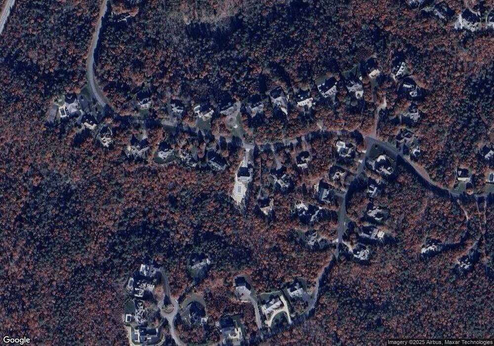
Map
Nearby Homes
- 234 Cairn Ridge Rd
- 77 Highwood Ln
- 121 Streeter Hill Rd
- 121 Streeter Hill Rd
- 308 Falmouth Woods Rd
- 104 Streeter Hill Rd
- 104 Streeter Hill Rd
- 213 N Falmouth Hwy Unit 5A
- 213 N Falmouth Hwy Unit 5B
- 213 N Falmouth Hwy Unit 5 A
- 267 N Falmouth Hwy
- 908 W Falmouth Hwy
- 850 W Falmouth Hwy Unit 11
- 106 Ambleside Dr
- 47 Shallow Pond Ln
- 11 Shallow Pond Ln
- 7 Pilgrim Path
- 345 Quaker Rd
- 0 Quaker Rd Unit 22504204
- 0 Quaker Rd Unit 73423088
- 265 Cairn Ridge Rd
- 227 Cairn Ridge Rd
- 269 Cairn Ridge Rd
- 221 Cairn Ridge Rd
- 219 Cairn Ridge Rd
- 277 Cairn Ridge Rd
- 25 Highwood Ln
- 256 Cairn Ridge Rd
- 244 Cairn Ridge Rd
- 268 Cairn Ridge Rd
- 215 Cairn Ridge Rd
- 29 Highwood Ln
- 274 Cairn Ridge Rd
- 19 Highwood Ln
- 291 Cairn Ridge Rd
- 65 Highwood Ln
- 93 Highwood Ln
- 93 Highwood Ln Unit Lane
- 15 Highwood Ln
- 21 Highwood Ln