Estimated Value: $1,099,000 - $1,214,000
6
Beds
4
Baths
3,240
Sq Ft
$361/Sq Ft
Est. Value
About This Home
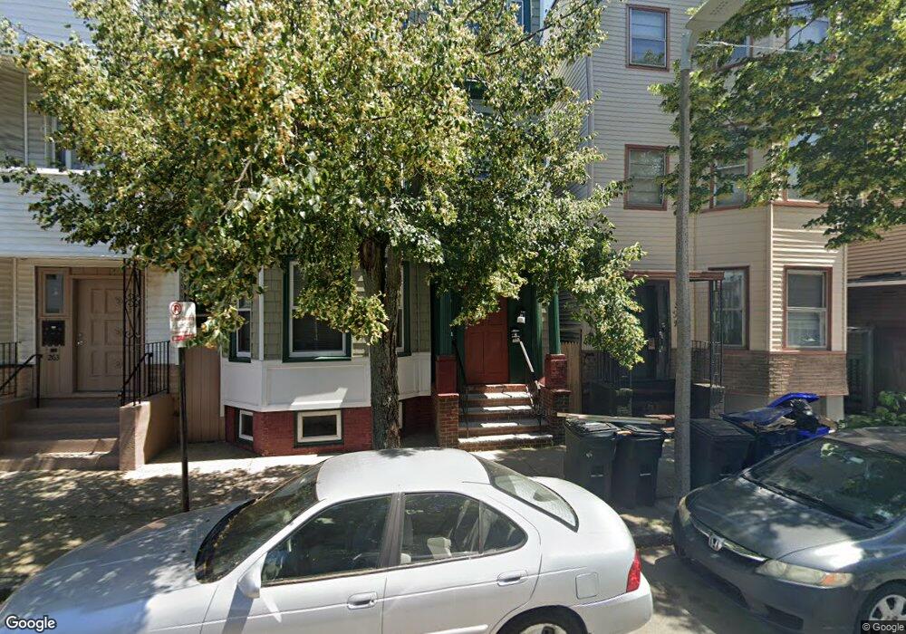
This home is located at 259 Havre St, Boston, MA 02128 and is currently estimated at $1,169,667, approximately $361 per square foot. 259 Havre St is a home located in Suffolk County with nearby schools including East Boston Central Catholic School.
Ownership History
Date
Name
Owned For
Owner Type
Purchase Details
Closed on
Sep 19, 2025
Sold by
Giaquinto Anthony A and Desimone Donna M
Bought by
Giaquinto Kori L and Giaquinto Anthony A
Current Estimated Value
Home Financials for this Owner
Home Financials are based on the most recent Mortgage that was taken out on this home.
Original Mortgage
$475,000
Outstanding Balance
$474,581
Interest Rate
6.63%
Mortgage Type
New Conventional
Estimated Equity
$695,086
Create a Home Valuation Report for This Property
The Home Valuation Report is an in-depth analysis detailing your home's value as well as a comparison with similar homes in the area
Home Values in the Area
Average Home Value in this Area
Purchase History
| Date | Buyer | Sale Price | Title Company |
|---|---|---|---|
| Giaquinto Kori L | -- | -- |
Source: Public Records
Mortgage History
| Date | Status | Borrower | Loan Amount |
|---|---|---|---|
| Open | Giaquinto Kori L | $475,000 |
Source: Public Records
Tax History Compared to Growth
Tax History
| Year | Tax Paid | Tax Assessment Tax Assessment Total Assessment is a certain percentage of the fair market value that is determined by local assessors to be the total taxable value of land and additions on the property. | Land | Improvement |
|---|---|---|---|---|
| 2025 | $9,204 | $794,800 | $207,300 | $587,500 |
| 2024 | $8,464 | $776,500 | $238,200 | $538,300 |
| 2023 | $7,443 | $693,000 | $212,600 | $480,400 |
| 2022 | $7,320 | $672,800 | $206,400 | $466,400 |
| 2021 | $7,179 | $672,800 | $206,400 | $466,400 |
| 2020 | $4,398 | $416,500 | $226,400 | $190,100 |
| 2019 | $3,920 | $371,900 | $140,100 | $231,800 |
| 2018 | $3,478 | $331,900 | $140,100 | $191,800 |
| 2017 | $3,139 | $296,400 | $140,100 | $156,300 |
| 2016 | $2,835 | $257,700 | $140,100 | $117,600 |
| 2015 | $2,848 | $235,200 | $110,600 | $124,600 |
| 2014 | $2,573 | $204,500 | $110,600 | $93,900 |
Source: Public Records
Map
Nearby Homes
- 100 Bennington St Unit 1
- 100 Bennington St Unit 3
- 125 Saratoga St Unit 2
- 115 Bennington St
- 152 Marion St Unit 6
- 198 Marion St
- 152 Saratoga St
- 270 Paris St Unit 3
- 116 Brooks St
- 216 Havre St Unit 4
- 219 Saratoga St Unit 2
- 219 Saratoga St Unit PH-S
- 15 Morris St Unit 2
- 223 Saratoga St Unit 203
- 206 Chelsea St
- 157 Princeton St Unit 1
- 197 Havre St Unit 2
- 197 Havre St Unit 1
- 80 Marion St Unit 1
- 80 Marion St
- 261 Havre St Unit C
- 261 Havre St Unit B
- 261 Havre St Unit A
- 261 Havre St Unit 2
- 261 Havre St
- 261 Havre St Unit 3
- 194 Marion St Unit 194A
- 194 Marion St Unit 182-1
- 194 Marion St Unit 1
- 194 Marion St Unit 2
- 194 Marion St Unit 3
- 192 Marion St
- 196 Marion St
- 263 Havre St
- 198 Marion St Unit 1
- 265 Havre St
- 200 Marion St
- 267 Havre St
- 188 Marion St Unit 190
- 188-190 Marion St