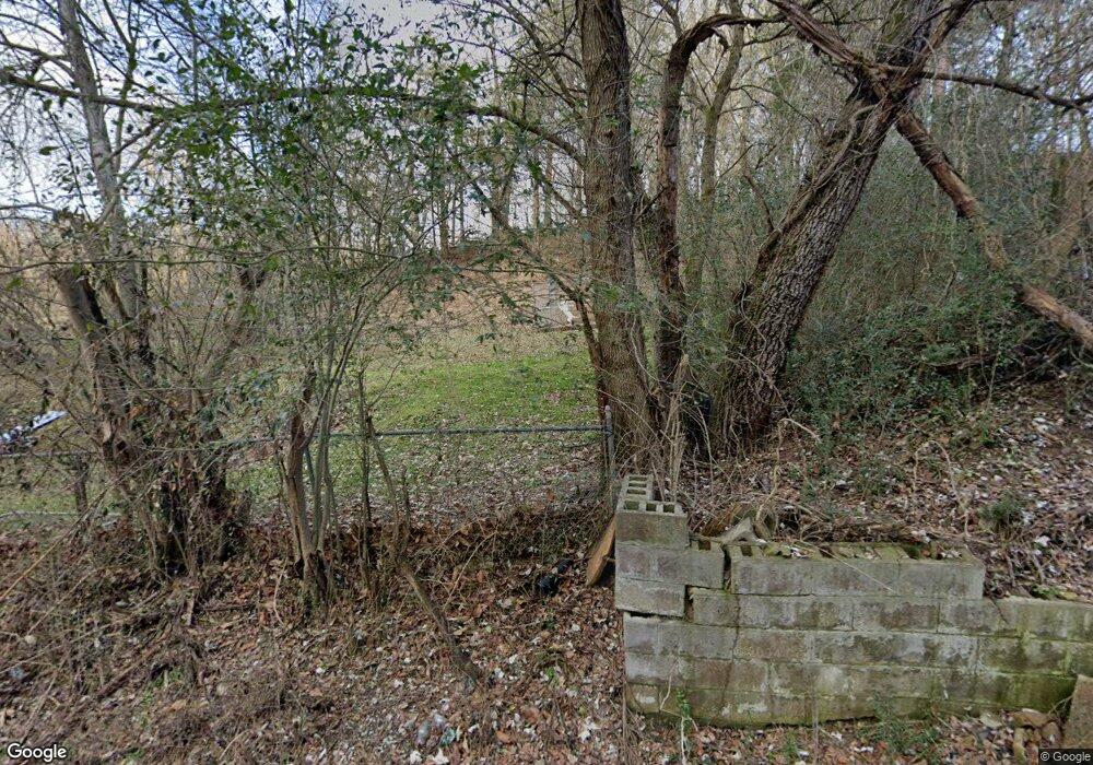
259 Left Fork Carmen Holw Rd Betsy Layne, KY 41605
Estimated Value: $73,525 - $100,000
2
Beds
1
Bath
876
Sq Ft
$99/Sq Ft
Est. Value
About This Home
This home is located at 259 Left Fork Carmen Holw Rd, Betsy Layne, KY 41605 and is currently estimated at $86,763, approximately $99 per square foot. 259 Left Fork Carmen Holw Rd is a home with nearby schools including Betsy Layne Elementary School and Betsy Layne High School.
Ownership History
Date
Name
Owned For
Owner Type
Purchase Details
Closed on
Feb 12, 2024
Sold by
Charles E Bradley Irrevocable Trust
Bought by
Amended Charles Bradley and Ilt Restated
Current Estimated Value
Home Financials for this Owner
Home Financials are based on the most recent Mortgage that was taken out on this home.
Original Mortgage
$48,000
Outstanding Balance
$42,355
Interest Rate
6.66%
Mortgage Type
New Conventional
Estimated Equity
$44,408
Purchase Details
Closed on
Feb 7, 2011
Sold by
Fudd Ruth Ann and Fudd Mark
Bought by
Stewart Rodney Kent
Create a Home Valuation Report for This Property
The Home Valuation Report is an in-depth analysis detailing your home's value as well as a comparison with similar homes in the area
Home Values in the Area
Average Home Value in this Area
Purchase History
| Date | Buyer | Sale Price | Title Company |
|---|---|---|---|
| Amended Charles Bradley | -- | None Listed On Document | |
| Stewart Rodney Kent | -- | None Available |
Source: Public Records
Mortgage History
| Date | Status | Borrower | Loan Amount |
|---|---|---|---|
| Open | Amended Charles Bradley | $48,000 |
Source: Public Records
Tax History Compared to Growth
Tax History
| Year | Tax Paid | Tax Assessment Tax Assessment Total Assessment is a certain percentage of the fair market value that is determined by local assessors to be the total taxable value of land and additions on the property. | Land | Improvement |
|---|---|---|---|---|
| 2024 | $120 | $10,000 | $8,000 | $2,000 |
| 2023 | $121 | $10,000 | $0 | $0 |
| 2022 | $121 | $10,000 | $0 | $0 |
| 2021 | $122 | $10,000 | $0 | $0 |
| 2020 | $122 | $10,000 | $0 | $0 |
| 2019 | $121 | $10,000 | $0 | $0 |
| 2018 | $121 | $10,000 | $0 | $0 |
| 2017 | $110 | $10,000 | $0 | $0 |
| 2016 | $110 | $10,000 | $0 | $0 |
| 2015 | $141 | $6,000 | $0 | $0 |
| 2014 | $141 | $6,000 | $0 | $0 |
| 2013 | $141 | $6,000 | $0 | $0 |
Source: Public Records
Map
Nearby Homes
- 276 Railroad Cir
- 104 School St
- 109 Store Hollow
- 8925 U S 23
- 146 Hale Rd
- 3325 Ky Rt 3379
- 31 Scalf Dr
- 1014 Mare Creek Rd
- 119 N Eagle Trace Blvd
- 358 Rt Penhook Rd
- 274 Mimosa Dr
- 111 Sunset Dr
- 199 Zeigler Rd
- 95 Zeigler Rd
- 100 Deskins Dr
- 674 Conn St
- 5509 Hurricane Rd
- 108- 00-00-054 03 Cager Branch of Toler Creek
- 36 Spring Branch
- 226 Madisons Fork
- 276 Left Fork Carmen Holw Rd
- 102 Violet Rd
- 66 Railroad Cir
- 82 S Bailey Rd
- 81 Railroad Cir
- 80 Railroad Cir
- 146 Railroad Cir
- 207 Church St
- 60 Railroad Cir
- 34 S Bailey Rd
- 131 School St
- 131 School St
- 142 School St
- 156 Railroad Cir
- 21 Cr-2557
- 112 Short St
- 157 Railroad Cir
- 10 Justell Bridge Rd
- 143 Railroad Cir
- 189 Church St
