259 Lighthouse View Dr Stevensville, MD 21666
Estimated Value: $1,631,033 - $2,138,000
3
Beds
4
Baths
2,949
Sq Ft
$656/Sq Ft
Est. Value
About This Home
This home is located at 259 Lighthouse View Dr, Stevensville, MD 21666 and is currently estimated at $1,934,008, approximately $655 per square foot. 259 Lighthouse View Dr is a home located in Queen Anne's County with nearby schools including Matapeake Elementary School, Matapeake Middle School, and Kent Island High School.
Ownership History
Date
Name
Owned For
Owner Type
Purchase Details
Closed on
Jan 21, 2010
Sold by
Smith Robert E and Smith Judeen D
Bought by
Sears Heather C
Current Estimated Value
Purchase Details
Closed on
Aug 14, 1998
Sold by
Bloody Point Shores Partnership
Bought by
Smith Robert E and Smith Judeen D
Purchase Details
Closed on
Apr 7, 1992
Sold by
Bloody Point Partnership
Bought by
Bloody Point Shores Partnership
Create a Home Valuation Report for This Property
The Home Valuation Report is an in-depth analysis detailing your home's value as well as a comparison with similar homes in the area
Home Values in the Area
Average Home Value in this Area
Purchase History
| Date | Buyer | Sale Price | Title Company |
|---|---|---|---|
| Sears Heather C | $1,133,350 | -- | |
| Smith Robert E | $195,000 | -- | |
| Bloody Point Shores Partnership | $2,137,200 | -- |
Source: Public Records
Mortgage History
| Date | Status | Borrower | Loan Amount |
|---|---|---|---|
| Closed | Sears Heather C | -- |
Source: Public Records
Tax History Compared to Growth
Tax History
| Year | Tax Paid | Tax Assessment Tax Assessment Total Assessment is a certain percentage of the fair market value that is determined by local assessors to be the total taxable value of land and additions on the property. | Land | Improvement |
|---|---|---|---|---|
| 2025 | $10,211 | $1,178,633 | $0 | $0 |
| 2024 | $10,211 | $1,100,967 | $0 | $0 |
| 2023 | $9,699 | $1,023,300 | $603,000 | $420,300 |
| 2022 | $9,699 | $1,023,300 | $603,000 | $420,300 |
| 2021 | $10,760 | $1,023,300 | $603,000 | $420,300 |
| 2020 | $10,760 | $1,115,600 | $648,000 | $467,600 |
| 2019 | $10,277 | $1,065,800 | $0 | $0 |
| 2018 | $9,792 | $1,016,000 | $0 | $0 |
| 2017 | $9,327 | $966,200 | $0 | $0 |
| 2016 | -- | $966,200 | $0 | $0 |
| 2015 | $5,446 | $966,200 | $0 | $0 |
| 2014 | $5,446 | $1,010,400 | $0 | $0 |
Source: Public Records
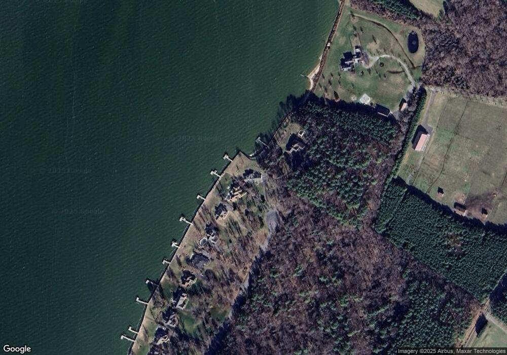
Map
Nearby Homes
- 245 Lighthouse View Dr
- 231 Lighthouse View Dr
- 216 Lighthouse View Dr
- 7680 Kent Point Rd
- 200 Mallard Cove Ln
- 100 Kent Point Rd
- 102 Chesapeake Bay Dr
- 116 Kent Point Rd
- 101 Trequassin Dr
- 312 S Lake Dr
- 201 Beachside Dr
- 109 Calvert Rd
- 101 Beachside Dr
- 208 Tower Dr
- 305 N Lake Dr
- 145 N Lake Dr
- 137 Tanners Point Dr
- 114 N Lake Dr
- 119 N Lake Dr
- 118 N Lake Dr
- 255 Lighthouse View Dr
- 249 Lighthouse View Dr
- 265 Lighthouse View Dr
- 241 Lighthouse View Dr
- 235 Lighthouse View Dr
- 7410 Kent Point Rd
- 225 Lighthouse View Dr
- 221 Lighthouse View Dr
- 215 Lighthouse View Dr
- 209 Lighthouse View Dr
- 205 Lighthouse View Dr
- 7402 Kent Point Rd
- 7501 Kent Point Rd
- 201 Lighthouse View Dr
- 200 Lighthouse View Dr
- 204 Lighthouse View Dr
- 0 Kent Point Road Kent Fort Rd Unit 1001853342
- Kent Fort Manor Rd
- 7328 Kent Point Rd
- 208 Lighthouse View Dr