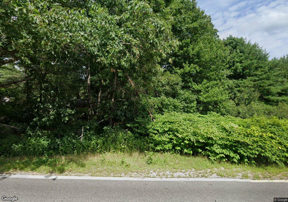
259 Log Cabin Rd Arundel, ME 04046
Estimated Value: $542,000 - $1,228,000
6
Beds
2
Baths
4,179
Sq Ft
$206/Sq Ft
Est. Value
About This Home
This home is located at 259 Log Cabin Rd, Arundel, ME 04046 and is currently estimated at $859,280, approximately $205 per square foot. 259 Log Cabin Rd is a home located in York County with nearby schools including Kennebunk High School, School Around Us, and The New School.
Ownership History
Date
Name
Owned For
Owner Type
Purchase Details
Closed on
Feb 23, 2022
Sold by
Wentworth Noah P
Bought by
Wentworth Noah P and Brown Flora G
Current Estimated Value
Purchase Details
Closed on
Nov 22, 2021
Sold by
Wentworth-Noah P T
Bought by
Brown Wentworth-Noah P and Brown Flora G
Purchase Details
Closed on
Nov 21, 2011
Sold by
Swanson Carl F Est
Bought by
Brown Flora and Wentworth Noah
Create a Home Valuation Report for This Property
The Home Valuation Report is an in-depth analysis detailing your home's value as well as a comparison with similar homes in the area
Home Values in the Area
Average Home Value in this Area
Purchase History
| Date | Buyer | Sale Price | Title Company |
|---|---|---|---|
| Wentworth Noah P | -- | None Available | |
| Wentworth Noah P | -- | None Available | |
| Brown Wentworth-Noah P | -- | None Available | |
| Wentworth-Noah P T | -- | None Available | |
| Brown Flora | -- | -- |
Source: Public Records
Tax History Compared to Growth
Tax History
| Year | Tax Paid | Tax Assessment Tax Assessment Total Assessment is a certain percentage of the fair market value that is determined by local assessors to be the total taxable value of land and additions on the property. | Land | Improvement |
|---|---|---|---|---|
| 2024 | $6,768 | $398,100 | $101,100 | $297,000 |
| 2023 | $6,773 | $398,400 | $101,400 | $297,000 |
| 2022 | $6,767 | $400,400 | $103,400 | $297,000 |
| 2021 | $6,662 | $394,200 | $97,200 | $297,000 |
| 2020 | $6,605 | $394,800 | $97,800 | $297,000 |
| 2019 | $6,439 | $395,000 | $98,000 | $297,000 |
| 2018 | $6,314 | $396,600 | $99,600 | $297,000 |
| 2017 | $6,133 | $395,700 | $98,700 | $297,000 |
| 2016 | $5,969 | $394,800 | $97,800 | $297,000 |
| 2015 | $5,816 | $389,000 | $92,000 | $297,000 |
| 2014 | $5,648 | $389,500 | $92,500 | $297,000 |
| 2013 | $5,649 | $389,600 | $92,600 | $297,000 |
Source: Public Records
Map
Nearby Homes
- 00 Tundra Ln
- 11 Acorn Ave
- 9 Forest Dr
- Lot 5 Forest Dr
- 14 Forest Dr
- 2 Forest Dr
- 13 Forest Dr
- 12 Forest Dr
- 33 Titcomb Ln
- 37 Old Cluff Rd
- 1903 Portland Rd
- 23 Adams Ln Unit 4
- 16 Sunrise Ln Unit 38
- 12 Sunrise Ln Unit 37
- 1 Ranger Ln Unit 12
- 13 Park Ln
- 0 Old Post Rd Unit 1628980
- 15 Rods Way
- 17 Rods Way
- 245 Arundel Rd
- 270 Log Cabin Rd
- 274 Log Cabin Rd
- 255 Log Cabin Rd
- 4 Binnacle Hill
- 11 Binnacle Hill Dr
- 272 Log Cabin Rd
- 13 Mason Dr
- 284 Log Cabin Rd
- 245 Log Cabin Rd
- 0 Campground (Lot 2) Rd Unit 1559848
- 0 Austin's Unit 886194
- 0 Austin's Unit 904306
- o Lane
- 0 Parsonage Unit 958684
- 1 Jones Woods Rd
- 0 Austin's Unit 969688
- 00 Austin's Alley
- 0 Camden Ln Unit 1005317
- 27 Castle Ln
- Lot 12D Camden Ln
