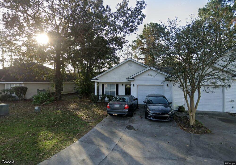
259 Millcrest Dr Brunswick, GA 31520
Estimated Value: $292,000 - $598,574
4
Beds
4
Baths
2,538
Sq Ft
$157/Sq Ft
Est. Value
About This Home
This home is located at 259 Millcrest Dr, Brunswick, GA 31520 and is currently estimated at $397,894, approximately $156 per square foot. 259 Millcrest Dr is a home located in Glynn County with nearby schools including Glyndale Elementary School, Needwood Middle School, and Brunswick High School.
Ownership History
Date
Name
Owned For
Owner Type
Purchase Details
Closed on
Sep 28, 2020
Sold by
Georgia Coast Property Management Llc
Bought by
Marshside Rentals Llc
Current Estimated Value
Purchase Details
Closed on
Nov 18, 2019
Sold by
Meenaghan Susan Jaime
Bought by
Georgia Coast Property Management Llc
Purchase Details
Closed on
Jan 15, 2015
Sold by
Robinson William B
Bought by
Robinson Susan S
Purchase Details
Closed on
May 2, 2012
Sold by
Robinson William B
Bought by
Premier Property Rentals Llc
Create a Home Valuation Report for This Property
The Home Valuation Report is an in-depth analysis detailing your home's value as well as a comparison with similar homes in the area
Home Values in the Area
Average Home Value in this Area
Purchase History
| Date | Buyer | Sale Price | Title Company |
|---|---|---|---|
| Marshside Rentals Llc | -- | -- | |
| Georgia Coast Property Management Llc | $390,000 | -- | |
| Robinson Susan S | -- | -- | |
| Premier Property Rentals Llc | -- | -- |
Source: Public Records
Tax History
| Year | Tax Paid | Tax Assessment Tax Assessment Total Assessment is a certain percentage of the fair market value that is determined by local assessors to be the total taxable value of land and additions on the property. | Land | Improvement |
|---|---|---|---|---|
| 2025 | $3,829 | $152,680 | $12,000 | $140,680 |
| 2024 | $1,733 | $69,120 | $6,000 | $63,120 |
| 2023 | $1,824 | $69,120 | $6,000 | $63,120 |
| 2022 | $1,858 | $69,120 | $6,000 | $63,120 |
| 2021 | $1,883 | $68,000 | $6,000 | $62,000 |
| 2020 | $1,900 | $68,000 | $6,000 | $62,000 |
| 2019 | $1,395 | $48,640 | $6,000 | $42,640 |
| 2018 | $1,395 | $48,640 | $6,000 | $42,640 |
| 2017 | $1,395 | $48,640 | $6,000 | $42,640 |
| 2016 | $1,292 | $48,640 | $6,000 | $42,640 |
| 2015 | $1,565 | $59,740 | $8,820 | $50,920 |
| 2014 | $1,565 | $59,740 | $8,820 | $50,920 |
Source: Public Records
Map
Nearby Homes
- 208 Windridge Dr
- 214 Nell Leone Dr
- 348 Moss Creek Ln
- 474 Moss Creek Ln
- 366 Moss Creek Ln
- 110 Dalton Cody Dr
- 207 Lantana Ct
- 319 Stonemill Dr
- 322 Stone Mill Dr
- 324 Stone Mill Dr
- 106 Red Bud Ct
- BLK 14 LOT 11 Red Bud Ct
- 2243 Pinewood Dr
- 196 & 210 Juniper Ct
- 153 & 169 Granville Nix Ln
- 4807 Palamor Dr
- 2536 Cherry St
- 2859 Palamor Dr
- 2202 Tara Ln
- 113 Destiny Ct
- 259 Millcrest Dr
- 251 & 253 Millcrest Dr
- 253 Millcrest Dr
- 251 Millcrest Dr
- 265 Millcrest Dr
- 252 Millcrest Dr
- 269 Millcrest Dr
- 243 Millcrest Dr
- 207 Benedict Rd
- 250 Millcrest Dr
- 250-252 Millcrest Dr
- 268 Millcrest Dr
- 242 Millcrest Dr
- 235/237 Millcrest Dr
- 235 Millcrest Dr
- 275 Benedict Rd
- 265 Windridge Dr
- 279 Windridge Dr
- 267 Benedict Rd
- 279 & 281 Windridge Dr
Your Personal Tour Guide
Ask me questions while you tour the home.