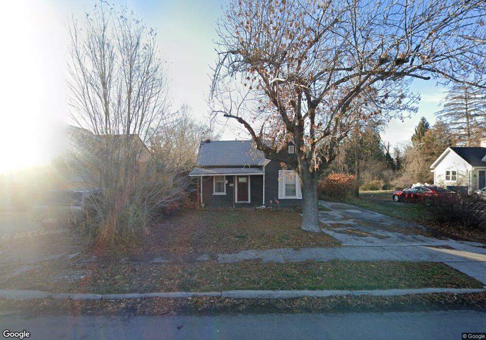
259 N 100 E American Fork, UT 84003
Estimated Value: $364,000 - $384,994
2
Beds
1
Bath
922
Sq Ft
$408/Sq Ft
Est. Value
About This Home
This home is located at 259 N 100 E, American Fork, UT 84003 and is currently estimated at $375,998, approximately $407 per square foot. 259 N 100 E is a home located in Utah County with nearby schools including Forbes Elementary School, American Fork Junior High School, and American Fork High School.
Ownership History
Date
Name
Owned For
Owner Type
Purchase Details
Closed on
Feb 8, 2019
Sold by
Jones Will S and Jones William S
Bought by
Deadbeats R Us Llc
Current Estimated Value
Purchase Details
Closed on
Oct 26, 2005
Sold by
Coon Steven C and Coon Karen H
Bought by
Jones Will S
Purchase Details
Closed on
Sep 24, 1997
Sold by
Peterson Ramah H
Bought by
Coon Steven C and Coon Karen H
Home Financials for this Owner
Home Financials are based on the most recent Mortgage that was taken out on this home.
Original Mortgage
$85,500
Interest Rate
7.54%
Create a Home Valuation Report for This Property
The Home Valuation Report is an in-depth analysis detailing your home's value as well as a comparison with similar homes in the area
Home Values in the Area
Average Home Value in this Area
Purchase History
| Date | Buyer | Sale Price | Title Company |
|---|---|---|---|
| Deadbeats R Us Llc | -- | Accommodation | |
| Jones Will S | -- | Select Title Insurance Agen | |
| Coon Steven C | -- | Provo Land Title |
Source: Public Records
Mortgage History
| Date | Status | Borrower | Loan Amount |
|---|---|---|---|
| Previous Owner | Coon Steven C | $85,500 |
Source: Public Records
Tax History
| Year | Tax Paid | Tax Assessment Tax Assessment Total Assessment is a certain percentage of the fair market value that is determined by local assessors to be the total taxable value of land and additions on the property. | Land | Improvement |
|---|---|---|---|---|
| 2025 | $1,522 | $185,625 | -- | -- |
| 2024 | $1,522 | $169,125 | $0 | $0 |
| 2023 | $1,405 | $165,495 | $0 | $0 |
| 2022 | $1,503 | $174,680 | $0 | $0 |
| 2021 | $1,271 | $230,800 | $152,200 | $78,600 |
| 2020 | $1,181 | $208,000 | $135,900 | $72,100 |
| 2019 | $1,027 | $187,100 | $116,500 | $70,600 |
| 2018 | $955 | $166,300 | $104,900 | $61,400 |
| 2017 | $903 | $84,920 | $0 | $0 |
| 2016 | $817 | $71,390 | $0 | $0 |
| 2015 | $861 | $71,390 | $0 | $0 |
| 2014 | $844 | $68,970 | $0 | $0 |
Source: Public Records
Map
Nearby Homes
Your Personal Tour Guide
Ask me questions while you tour the home.