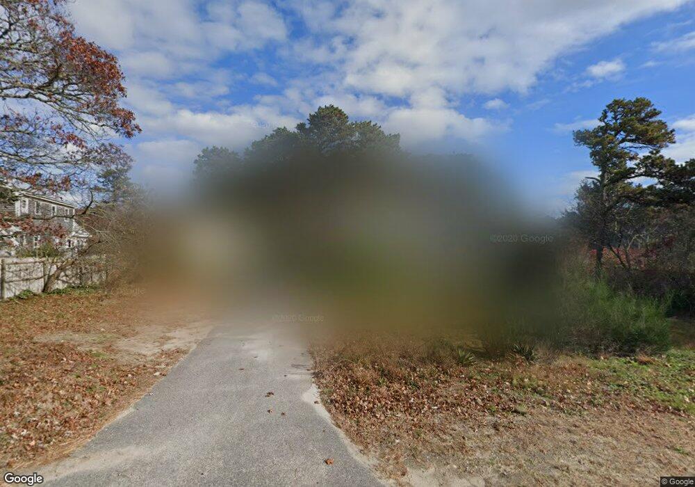
259 Route 137 Harwich, MA 02645
Estimated Value: $704,000 - $794,000
3
Beds
2
Baths
1,428
Sq Ft
$521/Sq Ft
Est. Value
About This Home
This home is located at 259 Route 137, Harwich, MA 02645 and is currently estimated at $743,463, approximately $520 per square foot. 259 Route 137 is a home located in Barnstable County with nearby schools including Harwich Elementary School, Chatham Elementary School, and Monomoy Regional Middle School.
Ownership History
Date
Name
Owned For
Owner Type
Purchase Details
Closed on
Dec 12, 2003
Sold by
Germain Robert A
Bought by
Germain Erin K
Current Estimated Value
Home Financials for this Owner
Home Financials are based on the most recent Mortgage that was taken out on this home.
Original Mortgage
$203,000
Outstanding Balance
$94,198
Interest Rate
5.9%
Mortgage Type
Purchase Money Mortgage
Estimated Equity
$649,265
Create a Home Valuation Report for This Property
The Home Valuation Report is an in-depth analysis detailing your home's value as well as a comparison with similar homes in the area
Home Values in the Area
Average Home Value in this Area
Purchase History
| Date | Buyer | Sale Price | Title Company |
|---|---|---|---|
| Germain Erin K | $263,000 | -- |
Source: Public Records
Mortgage History
| Date | Status | Borrower | Loan Amount |
|---|---|---|---|
| Open | Germain Erin K | $203,000 | |
| Previous Owner | Germain Erin K | $125,000 | |
| Previous Owner | Germain Erin K | $50,100 | |
| Previous Owner | Germain Erin K | $50,000 |
Source: Public Records
Tax History Compared to Growth
Tax History
| Year | Tax Paid | Tax Assessment Tax Assessment Total Assessment is a certain percentage of the fair market value that is determined by local assessors to be the total taxable value of land and additions on the property. | Land | Improvement |
|---|---|---|---|---|
| 2025 | $3,878 | $656,100 | $185,000 | $471,100 |
| 2024 | $3,768 | $624,800 | $174,500 | $450,300 |
| 2023 | $3,592 | $540,900 | $158,700 | $382,200 |
| 2022 | $3,507 | $432,400 | $138,000 | $294,400 |
| 2021 | $3,339 | $388,300 | $125,400 | $262,900 |
| 2020 | $3,341 | $382,700 | $124,100 | $258,600 |
| 2019 | $3,260 | $376,000 | $119,200 | $256,800 |
| 2018 | $3,186 | $351,500 | $108,400 | $243,100 |
| 2017 | $3,029 | $337,700 | $98,800 | $238,900 |
| 2016 | $2,945 | $324,700 | $98,800 | $225,900 |
| 2015 | $2,922 | $325,700 | $96,800 | $228,900 |
| 2014 | $2,797 | $318,900 | $93,900 | $225,000 |
Source: Public Records
Map
Nearby Homes
- 16 Partridge Ln
- Lot 2 Round Cove Rd
- 6 Levi's Ln
- 3 Seagull Ln
- 3 Bascom Hollow
- 152 Pleasant Bay Rd
- 47 Whidah Dr
- 26 Turning Way
- 76 Williamsburg Ave
- 850 Queen Anne Rd
- 26 Pleasant Park Cir
- 38 Rainbow Way
- 299 Depot Rd
- 7 Sandy Ln
- 10 Lakeside Terrace
- 26 Walkerwoods Dr
- 24 Chickadee Ln
- 24 Chickadee Cir
- 58 Sugar Hill Dr