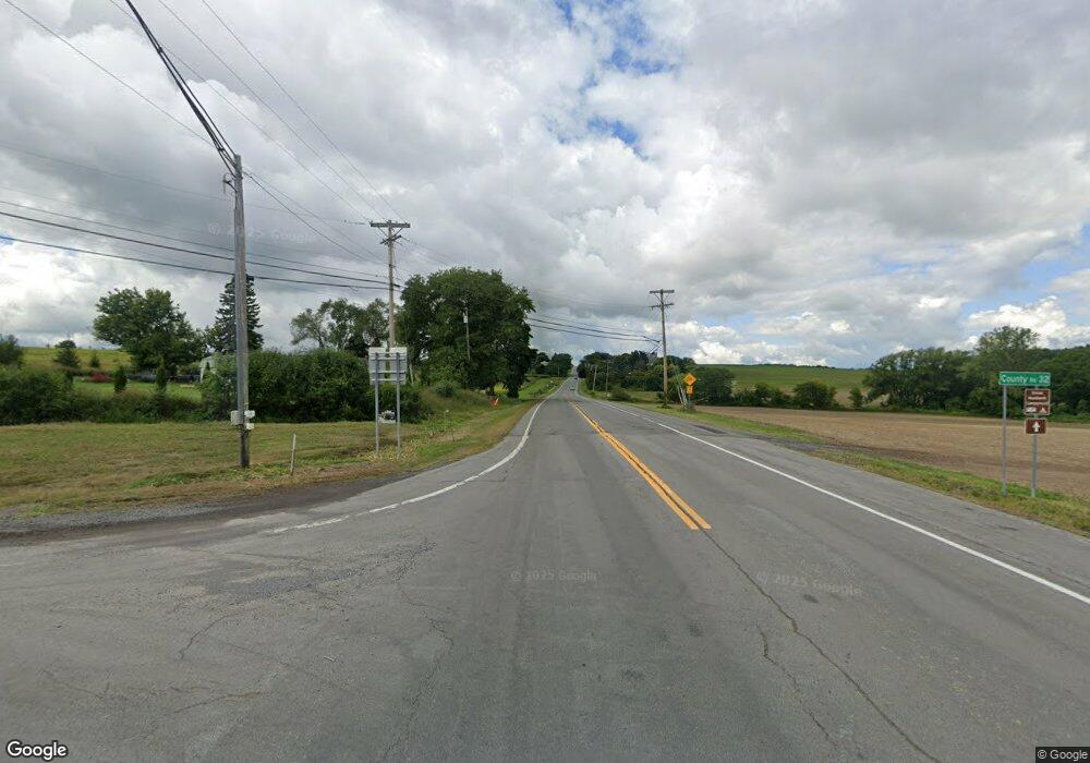
2590 State Route 21 Unit 2600 Canandaigua, NY 14424
Estimated Value: $243,000 - $286,000
2
Beds
1
Bath
1,355
Sq Ft
$194/Sq Ft
Est. Value
About This Home
This home is located at 2590 State Route 21 Unit 2600, Canandaigua, NY 14424 and is currently estimated at $262,251, approximately $193 per square foot. 2590 State Route 21 Unit 2600 is a home located in Ontario County with nearby schools including Canandaigua Primary-Elementary School, Canandaigua Middle School, and Canandaigua Academy And Middle School.
Ownership History
Date
Name
Owned For
Owner Type
Purchase Details
Closed on
Aug 9, 2019
Sold by
Allen Michael R
Bought by
Allen Michael R and Allen Barbara J
Current Estimated Value
Purchase Details
Closed on
Jan 8, 2018
Sold by
Lyons Paul
Bought by
Allen Michael R
Home Financials for this Owner
Home Financials are based on the most recent Mortgage that was taken out on this home.
Original Mortgage
$136,354
Interest Rate
3.92%
Mortgage Type
FHA
Purchase Details
Closed on
Jun 18, 2003
Sold by
Erb Richard
Bought by
Lyons Paul
Purchase Details
Closed on
Apr 2, 2001
Sold by
Mcwilliams Donald V
Bought by
Erb Richard
Create a Home Valuation Report for This Property
The Home Valuation Report is an in-depth analysis detailing your home's value as well as a comparison with similar homes in the area
Home Values in the Area
Average Home Value in this Area
Purchase History
| Date | Buyer | Sale Price | Title Company |
|---|---|---|---|
| Allen Michael R | -- | -- | |
| Allen Michael R | $132,000 | -- | |
| Lyons Paul | $53,000 | Stephen Aronson | |
| Erb Richard | $25,000 | Richard Brocklebank |
Source: Public Records
Mortgage History
| Date | Status | Borrower | Loan Amount |
|---|---|---|---|
| Previous Owner | Allen Michael R | $136,354 | |
| Previous Owner | Allen Michael R | $97,750 | |
| Previous Owner | Allen Michael R | $73,000 | |
| Previous Owner | Allen Michael R | $11,145 |
Source: Public Records
Tax History Compared to Growth
Tax History
| Year | Tax Paid | Tax Assessment Tax Assessment Total Assessment is a certain percentage of the fair market value that is determined by local assessors to be the total taxable value of land and additions on the property. | Land | Improvement |
|---|---|---|---|---|
| 2024 | $4,383 | $196,300 | $33,000 | $163,300 |
| 2023 | $4,490 | $196,300 | $33,000 | $163,300 |
| 2022 | $3,462 | $118,000 | $27,400 | $90,600 |
| 2021 | $3,371 | $118,000 | $27,400 | $90,600 |
| 2020 | $3,214 | $118,000 | $27,400 | $90,600 |
| 2019 | $0 | $118,000 | $27,400 | $90,600 |
| 2018 | $3,455 | $118,000 | $27,400 | $90,600 |
| 2017 | $1,242 | $100,000 | $26,900 | $73,100 |
| 2016 | $1,238 | $100,000 | $26,900 | $73,100 |
| 2015 | -- | $100,000 | $26,900 | $73,100 |
| 2014 | -- | $100,000 | $26,900 | $73,100 |
Source: Public Records
Map
Nearby Homes
- 353 Gibson St
- 177 Gibson St
- 120 Fort Hill Ave
- 55 Fort Hill Ave
- 87 Phoenix St
- 182 Kennedy St
- 40 Dungan St
- 34 Dungan St
- 74 Pleasant St
- 128 Saltonstall St
- 135 Deseyn Dr
- 146 Pleasant St
- 0 Route 21 S Unit R1587258
- 104 N Main St
- 0 County Road 4
- 0 Cr-32 Unit R1614194
- 0 Cr-32 Unit R1614204
- 25 Saltonstall St
- 38 Chapin St
- 280 S Main St
- 2620 State Route 21
- 2575 State Route 21
- 2632 State Route 21
- 2650 State Route 21
- 2600 State Route 21
- 2580 State Route 21
- 2656 State Route 21
- 2572 State Route 21
- 2672 State Route 21
- 2563 State Route 21
- 2570 State Route 21
- 4645 Bushwood Ln
- 4642 Bushwood Ln
- 2659 State Route 21 Unit 2661
- 2698 State Route 21
- 2566 State Route 21
- 4647 Bushwood Ln
- 2562 State Route 21
- 2750 State Route 21
- 4649 Bushwood Ln
