25917 Canal Rd N Minooka, IL 60447
South DuPage River NeighborhoodEstimated Value: $412,000 - $420,000
4
Beds
2
Baths
1,852
Sq Ft
$225/Sq Ft
Est. Value
About This Home
This home is located at 25917 Canal Rd N, Minooka, IL 60447 and is currently estimated at $416,000, approximately $224 per square foot. 25917 Canal Rd N is a home located in Will County with nearby schools including N B Galloway Elementary School, Three Rivers School, and Pioneer Path School.
Ownership History
Date
Name
Owned For
Owner Type
Purchase Details
Closed on
May 9, 2012
Sold by
Williams Maureen
Bought by
Williams Maureen and Williams Casey W
Current Estimated Value
Purchase Details
Closed on
May 9, 2006
Sold by
Williams Donald W
Bought by
Williams Maureen
Home Financials for this Owner
Home Financials are based on the most recent Mortgage that was taken out on this home.
Original Mortgage
$335,000
Interest Rate
6.72%
Mortgage Type
Purchase Money Mortgage
Create a Home Valuation Report for This Property
The Home Valuation Report is an in-depth analysis detailing your home's value as well as a comparison with similar homes in the area
Home Values in the Area
Average Home Value in this Area
Purchase History
| Date | Buyer | Sale Price | Title Company |
|---|---|---|---|
| Williams Maureen | -- | None Available | |
| Williams Maureen | -- | Chicago Title Insurance Co |
Source: Public Records
Mortgage History
| Date | Status | Borrower | Loan Amount |
|---|---|---|---|
| Previous Owner | Williams Maureen | $335,000 |
Source: Public Records
Tax History Compared to Growth
Tax History
| Year | Tax Paid | Tax Assessment Tax Assessment Total Assessment is a certain percentage of the fair market value that is determined by local assessors to be the total taxable value of land and additions on the property. | Land | Improvement |
|---|---|---|---|---|
| 2024 | $13,017 | $184,598 | $43,375 | $141,223 |
| 2023 | $13,017 | $162,983 | $38,286 | $124,697 |
| 2022 | $11,643 | $152,849 | $35,905 | $116,944 |
| 2021 | $10,704 | $144,470 | $33,937 | $110,533 |
| 2020 | $10,404 | $141,360 | $33,206 | $108,154 |
| 2019 | $9,146 | $124,050 | $30,200 | $93,850 |
| 2018 | $8,513 | $116,180 | $29,290 | $86,890 |
| 2017 | $8,286 | $111,390 | $28,082 | $83,308 |
| 2016 | $8,055 | $106,900 | $26,950 | $79,950 |
| 2015 | $6,804 | $96,850 | $25,950 | $70,900 |
| 2014 | $6,804 | $93,000 | $25,200 | $67,800 |
| 2013 | $6,804 | $93,000 | $25,200 | $67,800 |
Source: Public Records
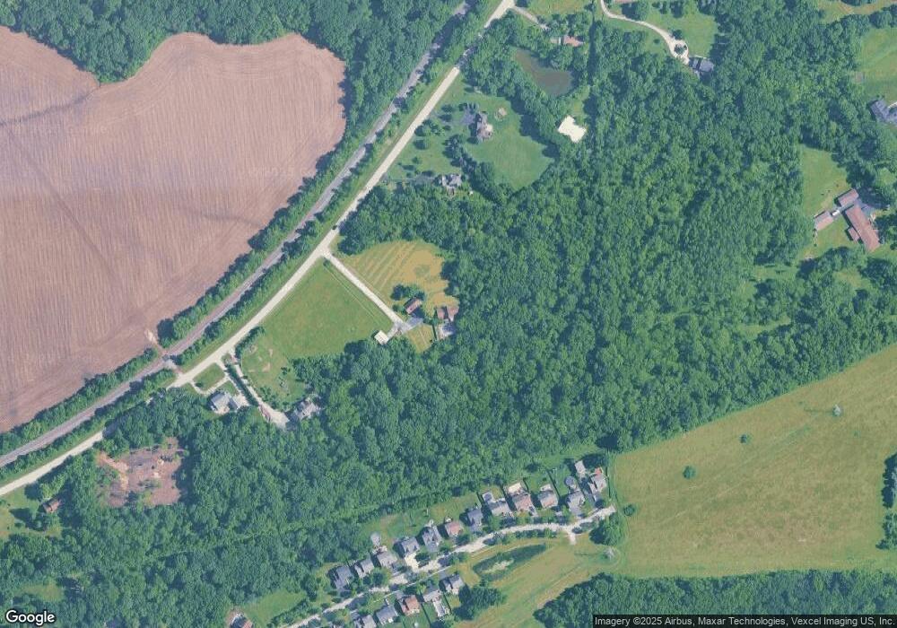
Map
Nearby Homes
- 105 Northfield Dr
- 103 Northfield Dr
- 107 Sibley Dr
- 101 Fieldcrest Ct
- 25734 Hickory Ct
- 23836 S Willow Ln
- 303 Grande Dr Unit A
- 9015 E Mcevilly Rd
- 24025 Timberwood Dr
- 308 Wabasso Place
- 103 E Coady Dr
- 25200 W Pawnee Ln
- 201 W Church St
- 405 W Mondamin St
- 24350 Marble Rd
- 23959 S Green Heron Dr
- LOT 1 Bob Blair Rd
- 504 Flanagan Dr Unit A
- 25225 W Saint Elizabeth Dr Unit B32
- 25221 W Saint Elizabeth Dr Unit B33
- 25957 Canal Rd N
- 25905 Canal Rd N
- 26031 Canal Rd N
- 25959 Canal Rd N
- 25851 Canal Rd N
- 137 Northfield Dr
- 141 Northfield Dr
- 145 Northfield Dr
- 133 Northfield Dr
- 149 Northfield Dr
- 129 Northfield Dr
- 153 Northfield Dr
- 101 Northfield Dr
- 125 Northfield Dr
- 157 Northfield Dr
- 26001 Canal Rd N
- 26001 Canal Rd N
- 121 Northfield Dr
- 117 Northfield Dr
- 113 Northfield Dr Unit 2