25920 155th St Leavenworth, KS 66048
Estimated Value: $375,000 - $468,000
3
Beds
1
Bath
1,260
Sq Ft
$330/Sq Ft
Est. Value
About This Home
This home is located at 25920 155th St, Leavenworth, KS 66048 and is currently estimated at $415,254, approximately $329 per square foot. 25920 155th St is a home located in Leavenworth County with nearby schools including Lansing Elementary School, Lansing Middle 6-8, and Lansing High 9-12.
Ownership History
Date
Name
Owned For
Owner Type
Purchase Details
Closed on
Jun 1, 2003
Bought by
Scarf Terry
Current Estimated Value
Home Financials for this Owner
Home Financials are based on the most recent Mortgage that was taken out on this home.
Original Mortgage
$15,000
Outstanding Balance
$6,346
Interest Rate
5.31%
Mortgage Type
New Conventional
Estimated Equity
$408,908
Create a Home Valuation Report for This Property
The Home Valuation Report is an in-depth analysis detailing your home's value as well as a comparison with similar homes in the area
Home Values in the Area
Average Home Value in this Area
Purchase History
| Date | Buyer | Sale Price | Title Company |
|---|---|---|---|
| Scarf Terry | $38,500 | -- |
Source: Public Records
Mortgage History
| Date | Status | Borrower | Loan Amount |
|---|---|---|---|
| Open | Scarf Terry | $15,000 | |
| Closed | Scarf Terry | $113,500 |
Source: Public Records
Tax History Compared to Growth
Tax History
| Year | Tax Paid | Tax Assessment Tax Assessment Total Assessment is a certain percentage of the fair market value that is determined by local assessors to be the total taxable value of land and additions on the property. | Land | Improvement |
|---|---|---|---|---|
| 2025 | $4,866 | $44,768 | $9,425 | $35,343 |
| 2024 | $3,807 | $43,047 | $8,469 | $34,578 |
| 2023 | $3,807 | $35,332 | $8,469 | $26,863 |
| 2022 | $3,590 | $32,119 | $7,231 | $24,888 |
| 2021 | $3,048 | $26,887 | $6,403 | $20,484 |
| 2020 | $2,849 | $24,732 | $6,134 | $18,598 |
| 2019 | $2,458 | $21,350 | $5,789 | $15,561 |
| 2018 | $2,285 | $19,882 | $4,869 | $15,013 |
| 2017 | $2,141 | $18,756 | $4,716 | $14,040 |
| 2016 | $2,078 | $18,240 | $4,639 | $13,601 |
| 2015 | $1,983 | $17,488 | $4,639 | $12,849 |
| 2014 | $1,889 | $16,979 | $4,639 | $12,340 |
Source: Public Records
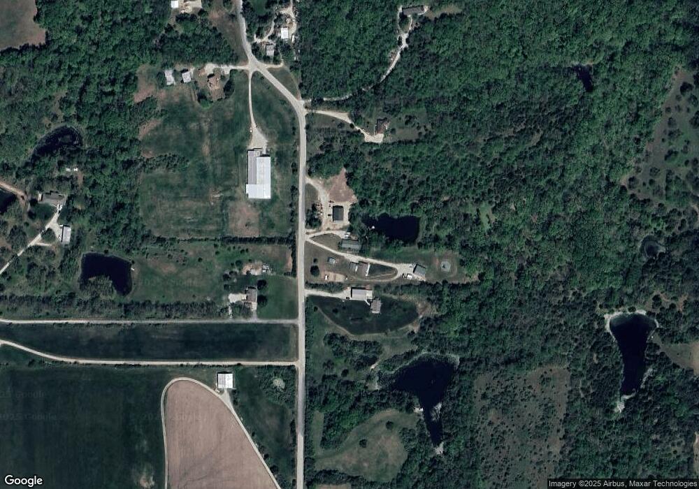
Map
Nearby Homes
- 00000 Gilman Rd
- 000 4-H Rd
- Lot 6 163rd St
- 77 Continental Dr
- 73 Continental Dr
- 811 4-H Rd
- 1221 S Desoto Rd
- 542 Creekside Ct
- 610 Meadowlark Rd
- 624 S Bittersweet Ln
- 16430 Dana Ln
- 1013 Sycamore Ridge Dr
- 722 Bittersweet Rd
- 922 Southfork St
- 527 S Valley Dr
- 875 Clearview Dr
- 833 Rock Creek Dr
- 15915 Eisenhower Rd
- 415 Fairlane St
- 16055 W Eisenhower Rd