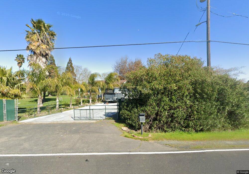
25950 N Highway 99 Acampo, CA 95220
Estimated Value: $372,000 - $579,000
2
Beds
1
Bath
1,640
Sq Ft
$302/Sq Ft
Est. Value
About This Home
This home is located at 25950 N Highway 99, Acampo, CA 95220 and is currently estimated at $495,264, approximately $301 per square foot. 25950 N Highway 99 is a home located in San Joaquin County with nearby schools including Valley Oaks Elementary School, Robert L. McCaffrey Middle School, and Galt High School.
Ownership History
Date
Name
Owned For
Owner Type
Purchase Details
Closed on
Nov 15, 2018
Sold by
Vosburg Arlene L
Bought by
Krotter John K and Krotter Arlene L
Current Estimated Value
Purchase Details
Closed on
Nov 6, 2001
Sold by
Schaffer Steven Paul
Bought by
Schaffer Steven P
Home Financials for this Owner
Home Financials are based on the most recent Mortgage that was taken out on this home.
Original Mortgage
$140,000
Interest Rate
6.62%
Create a Home Valuation Report for This Property
The Home Valuation Report is an in-depth analysis detailing your home's value as well as a comparison with similar homes in the area
Home Values in the Area
Average Home Value in this Area
Purchase History
| Date | Buyer | Sale Price | Title Company |
|---|---|---|---|
| Krotter John K | -- | None Available | |
| Schaffer Steven P | -- | Financial Title Company |
Source: Public Records
Mortgage History
| Date | Status | Borrower | Loan Amount |
|---|---|---|---|
| Previous Owner | Schaffer Steven P | $140,000 |
Source: Public Records
Tax History Compared to Growth
Tax History
| Year | Tax Paid | Tax Assessment Tax Assessment Total Assessment is a certain percentage of the fair market value that is determined by local assessors to be the total taxable value of land and additions on the property. | Land | Improvement |
|---|---|---|---|---|
| 2025 | $2,934 | $235,411 | $82,760 | $152,651 |
| 2024 | $2,818 | $230,796 | $81,138 | $149,658 |
| 2023 | $2,774 | $226,272 | $79,548 | $146,724 |
| 2022 | $2,671 | $221,837 | $77,989 | $143,848 |
| 2021 | $2,674 | $217,488 | $76,460 | $141,028 |
| 2020 | $2,986 | $215,258 | $75,676 | $139,582 |
| 2019 | $2,902 | $211,039 | $74,193 | $136,846 |
| 2018 | $2,392 | $206,902 | $72,739 | $134,163 |
| 2017 | $2,299 | $202,846 | $71,313 | $131,533 |
| 2016 | $2,210 | $198,869 | $69,915 | $128,954 |
| 2014 | $2,127 | $192,046 | $67,516 | $124,530 |
Source: Public Records
Map
Nearby Homes
- 2482 E Collier Rd
- 5420 E Jahant Rd
- 26572 N Lower Sacramento Rd
- 26598 N Lower Sacramento Rd
- 25393 Kennefick Rd
- 5860 E Jahant Rd
- 833 Mccauley Way
- 906 Ranch Rd
- 751 Crow Creek Cir
- 718 Crow Creek Cir
- 944 Norman Rd
- Tulip Plan at Dry Creek Oaks
- Rose Plan at Dry Creek Oaks
- Orchid Plan at Dry Creek Oaks
- Iris Plan at Dry Creek Oaks
- Daisy Plan at Dry Creek Oaks
- Poppy Plan at Dry Creek Oaks
- Lily Plan at Dry Creek Oaks
- 1133 Nicklaus Rd
- 1129 Nicklaus Rd
- 26012 N Highway 99
- 25900 N Highway 99
- 25950 N Highway 99
- 26046 N Highway 99
- 26000 N Highway 99
- 3482 E Collier Rd
- 25461 N Eunice Ave
- 3460 E Collier Rd
- 25399 N Eunice Ave
- 25479 N Eunice Ave
- 3422 E Collier Rd
- 25442 N Eunice Ave
- 25367 N Eunice Ave
- 3406 E Collier Rd
- 3550 E Collier Rd
- 25388 N Eunice Ave
- 3392 E Collier Rd
- 25335 N Eunice Ave
- 25350 N Eunice Ave
- 3596 Collier Rd E