Estimated Value: $190,932 - $303,000
--
Bed
1
Bath
1,622
Sq Ft
$162/Sq Ft
Est. Value
About This Home
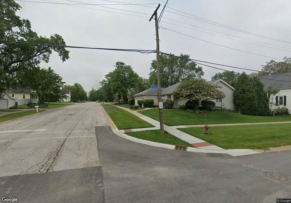
This home is located at 25954 S Middle Point Ave, Monee, IL 60449 and is currently estimated at $262,644, approximately $161 per square foot. 25954 S Middle Point Ave is a home with nearby schools including Monee Elementary School, Crete-Monee Middle School, and Crete-Monee High School.
Ownership History
Date
Name
Owned For
Owner Type
Purchase Details
Closed on
May 25, 2023
Sold by
Trust Number 74-1270
Bought by
Trust Number 2023-0534
Current Estimated Value
Purchase Details
Closed on
Dec 16, 1996
Sold by
Knippel Leon B
Bought by
Kochel Helen J
Home Financials for this Owner
Home Financials are based on the most recent Mortgage that was taken out on this home.
Original Mortgage
$80,000
Interest Rate
8.25%
Create a Home Valuation Report for This Property
The Home Valuation Report is an in-depth analysis detailing your home's value as well as a comparison with similar homes in the area
Home Values in the Area
Average Home Value in this Area
Purchase History
| Date | Buyer | Sale Price | Title Company |
|---|---|---|---|
| Trust Number 2023-0534 | -- | None Listed On Document | |
| Kochel Helen J | $100,000 | Chicago Title Insurance Co |
Source: Public Records
Mortgage History
| Date | Status | Borrower | Loan Amount |
|---|---|---|---|
| Previous Owner | Kochel Helen J | $80,000 |
Source: Public Records
Tax History Compared to Growth
Tax History
| Year | Tax Paid | Tax Assessment Tax Assessment Total Assessment is a certain percentage of the fair market value that is determined by local assessors to be the total taxable value of land and additions on the property. | Land | Improvement |
|---|---|---|---|---|
| 2024 | $2,315 | $72,653 | $15,122 | $57,531 |
| 2023 | $2,315 | $62,632 | $13,036 | $49,596 |
| 2022 | $2,594 | $54,240 | $11,467 | $42,773 |
| 2021 | $3,377 | $49,427 | $10,532 | $38,895 |
| 2020 | $3,487 | $47,825 | $10,191 | $37,634 |
| 2019 | $3,586 | $45,353 | $9,664 | $35,689 |
| 2018 | $3,640 | $43,613 | $9,430 | $34,183 |
| 2017 | $3,726 | $43,336 | $9,134 | $34,202 |
| 2016 | $3,796 | $42,416 | $8,819 | $33,597 |
| 2015 | $3,683 | $38,736 | $8,038 | $30,698 |
| 2014 | $3,683 | $38,201 | $7,927 | $30,274 |
| 2013 | $3,683 | $40,000 | $8,300 | $31,700 |
Source: Public Records
Map
Nearby Homes
- 5155 W Main St
- 5203 W Court St
- 5420 W Main St
- 25836 S Linden Ave
- 5421 W Main St
- 5332 W Mulberry Ln
- 5406 W Mulberry Ln
- 5110 Fairground Ct
- 5221 W Mulberry Ln
- 25830 S Chestnut Rd
- 4942 W Ribbon Ct
- 5100 Augusta Blvd Unit 134
- 26103 S Ruby St Unit 1
- 25740 Baltusrol Dr
- 5320 W Orchard Trail
- Lot 4 S Governors Hwy
- 26205 S Ruby St
- 4996 W Ribbon Dr
- 25927 Derby Dr
- 26253 S Ruby St Unit 1
- 5311 W Main St
- 26002 S Middle Point Ave
- 5255 W Main St
- 25957 S Middle Point Ave
- 5326 W Herbert St
- 26010 S Middle Point Ave
- 25943 S Linden Ave
- 5247 W Main St
- 5255 W Herbert St
- 5327 W Herbert St
- 26011 S Middle Point Ave
- 5304 W Margaret St
- 26011 S Linden Ave
- 5234 W Herbert St
- 5326 W Main St
- 5235 W Main St
- 5341 W Main St
- 26000 S Eastgate Ave
- 26002 S Linden Ave
- 26016 S Eastgate Ave