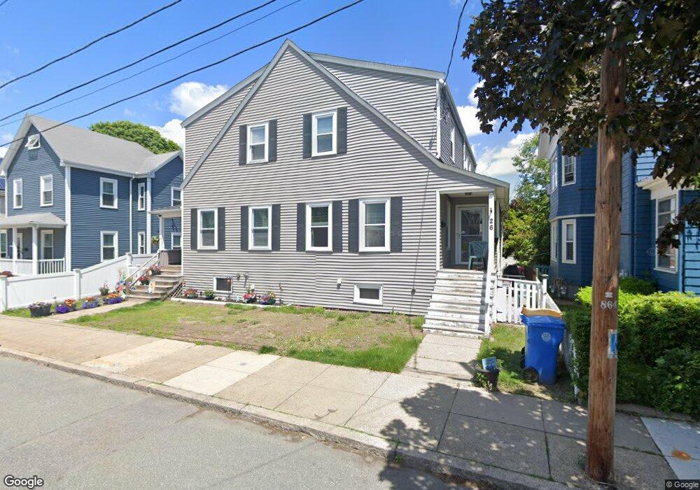
26 Atlantic St Winthrop, MA 02152
Downtown Winthrop NeighborhoodEstimated Value: $458,000 - $671,000
3
Beds
1
Bath
2,216
Sq Ft
$261/Sq Ft
Est. Value
About This Home
This home is located at 26 Atlantic St, Winthrop, MA 02152 and is currently estimated at $578,596, approximately $261 per square foot. 26 Atlantic St is a home located in Suffolk County with nearby schools including William P. Gorman/Fort Banks Elementary School, Arthur T. Cummings Elementary School, and Winthrop Middle School.
Ownership History
Date
Name
Owned For
Owner Type
Purchase Details
Closed on
Sep 23, 1999
Sold by
Est Mayer Charles F and Driscoll Maria L
Bought by
Lasala Robina and Lasala Robert
Current Estimated Value
Purchase Details
Closed on
Apr 14, 1995
Sold by
Est Mayer Margaret I and Tardif Tr John G
Bought by
Mayer Charles F
Create a Home Valuation Report for This Property
The Home Valuation Report is an in-depth analysis detailing your home's value as well as a comparison with similar homes in the area
Home Values in the Area
Average Home Value in this Area
Purchase History
| Date | Buyer | Sale Price | Title Company |
|---|---|---|---|
| Lasala Robina | $110,000 | -- | |
| Mayer Charles F | $77,500 | -- |
Source: Public Records
Mortgage History
| Date | Status | Borrower | Loan Amount |
|---|---|---|---|
| Open | Mayer Charles F | $199,600 | |
| Closed | Mayer Charles F | $167,000 | |
| Closed | Mayer Charles F | $149,500 |
Source: Public Records
Tax History Compared to Growth
Tax History
| Year | Tax Paid | Tax Assessment Tax Assessment Total Assessment is a certain percentage of the fair market value that is determined by local assessors to be the total taxable value of land and additions on the property. | Land | Improvement |
|---|---|---|---|---|
| 2025 | $3,744 | $362,800 | $0 | $362,800 |
| 2024 | $3,622 | $347,600 | $0 | $347,600 |
| 2023 | $3,633 | $339,500 | $0 | $339,500 |
| 2022 | $2,622 | $223,000 | $0 | $223,000 |
| 2021 | $2,683 | $211,600 | $0 | $211,600 |
| 2020 | $2,588 | $205,100 | $0 | $205,100 |
| 2019 | $2,574 | $195,300 | $0 | $195,300 |
| 2018 | $2,588 | $182,800 | $0 | $182,800 |
| 2017 | $2,510 | $174,200 | $0 | $174,200 |
| 2016 | $2,553 | $166,100 | $0 | $166,100 |
| 2015 | $2,336 | $162,900 | $0 | $162,900 |
| 2014 | $2,309 | $148,200 | $0 | $148,200 |
Source: Public Records
Map
Nearby Homes
- 9 Atlantic St Unit 2
- 87 Hermon St
- 426 Winthrop St
- 50-52 Wilshire St
- 441 Winthrop St
- 9 Marshall St
- 800 Governors Dr Unit 6
- 1100 Governors Dr Unit 6
- 800 Governors Dr Unit 30
- 1000 Governors Dr Unit 25
- 19 Pleasant Park Rd
- 14 Pleasant Park Rd
- 34 Fremont St
- 550 Pleasant St Unit 11D
- 550 Pleasant St Unit 506
- 56 Main St
- 174 Winthrop St Unit 2
- 80 Shirley St
- 35 Somerset Ave Unit 6
- 10 Somerset Ave Unit 405
- 26 Atlantic St Unit 1
- 24 Atlantic St
- 30 Atlantic St
- 18 Atlantic St
- 23 Atlantic St
- 29 Atlantic St
- 10 Atlantic St
- 36 Atlantic St
- 8 Atlantic St
- 15 Atlantic St
- 247 Main St
- 247 Main St Unit 2
- 41 Atlantic St
- 33 Atlantic St
- 33 Atlantic St Unit 1
- 9 Atlantic St Unit 3
- 9 Atlantic St Unit 1
- 9 Atlantic St Unit 3 9
- 9 Atlantic St
- 233 Main St