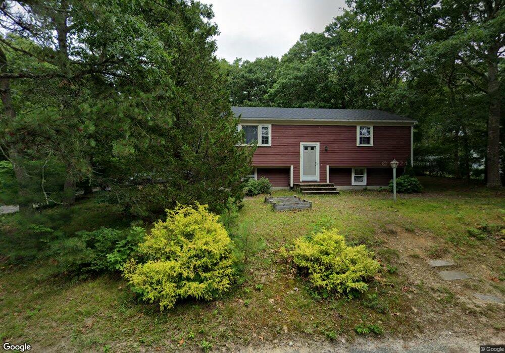
26 Avery Rd Pocasset, MA 02559
Pocasset NeighborhoodEstimated Value: $555,072 - $591,000
4
Beds
2
Baths
1,854
Sq Ft
$310/Sq Ft
Est. Value
About This Home
This home is located at 26 Avery Rd, Pocasset, MA 02559 and is currently estimated at $574,018, approximately $309 per square foot. 26 Avery Rd is a home located in Barnstable County with nearby schools including Bourne High School, Cadence Academy Preschool - Bourne, and St Margaret Regional School.
Ownership History
Date
Name
Owned For
Owner Type
Purchase Details
Closed on
Apr 28, 2011
Sold by
Bergman Walter L and Bergman Dolores G
Bought by
Poley Joshua and Poley Athena
Current Estimated Value
Home Financials for this Owner
Home Financials are based on the most recent Mortgage that was taken out on this home.
Original Mortgage
$238,341
Outstanding Balance
$163,532
Interest Rate
4.76%
Mortgage Type
Purchase Money Mortgage
Estimated Equity
$410,486
Purchase Details
Closed on
Nov 1, 2007
Sold by
Markola Linda Susan and Gaudreau Martha Miriam
Bought by
Bergman Dolores G and Bergman Walter L
Home Financials for this Owner
Home Financials are based on the most recent Mortgage that was taken out on this home.
Original Mortgage
$172,000
Interest Rate
6.43%
Mortgage Type
Purchase Money Mortgage
Create a Home Valuation Report for This Property
The Home Valuation Report is an in-depth analysis detailing your home's value as well as a comparison with similar homes in the area
Home Values in the Area
Average Home Value in this Area
Purchase History
| Date | Buyer | Sale Price | Title Company |
|---|---|---|---|
| Poley Joshua | $230,000 | -- | |
| Poley Joshua | $230,000 | -- | |
| Bergman Dolores G | $222,500 | -- | |
| Bergman Dolores G | $222,500 | -- |
Source: Public Records
Mortgage History
| Date | Status | Borrower | Loan Amount |
|---|---|---|---|
| Open | Poley Joshua | $238,341 | |
| Closed | Bergman Dolores G | $238,341 | |
| Previous Owner | Bergman Dolores G | $172,000 | |
| Previous Owner | Bergman Dolores G | $54,500 |
Source: Public Records
Tax History Compared to Growth
Tax History
| Year | Tax Paid | Tax Assessment Tax Assessment Total Assessment is a certain percentage of the fair market value that is determined by local assessors to be the total taxable value of land and additions on the property. | Land | Improvement |
|---|---|---|---|---|
| 2025 | $3,376 | $432,300 | $194,800 | $237,500 |
| 2024 | $3,437 | $428,600 | $202,400 | $226,200 |
| 2023 | $3,342 | $379,300 | $179,100 | $200,200 |
| 2022 | $3,069 | $304,200 | $145,300 | $158,900 |
| 2021 | $2,981 | $276,800 | $132,200 | $144,600 |
| 2020 | $2,892 | $269,300 | $131,000 | $138,300 |
| 2019 | $2,766 | $263,200 | $131,000 | $132,200 |
| 2018 | $2,766 | $262,400 | $130,400 | $132,000 |
| 2017 | $2,589 | $251,400 | $129,200 | $122,200 |
| 2016 | $2,528 | $248,800 | $129,200 | $119,600 |
| 2015 | $2,110 | $209,500 | $89,900 | $119,600 |
Source: Public Records
Map
Nearby Homes
- 7 4th Ave
- 3 4th Ave
- 3 1st St
- 709 County Rd
- 254 Barlows Landing Rd
- 41 Portside Dr
- 39 Bennets Neck Dr
- 171 Bellavista Dr
- 3 Red Brook Pond Dr
- 14 Navajo Rd
- 48 Red Brook Harbor Rd
- 70 Wings Neck Rd
- 45 Kenwood Rd
- 1234 Route 28a
- 93 Valley Bars Rd
- 566 Shore Rd
- 30 Howard Ave
- 1234 Route 28a
- 18 Douglas Ave
- 10 Squeteague Harbor Rd