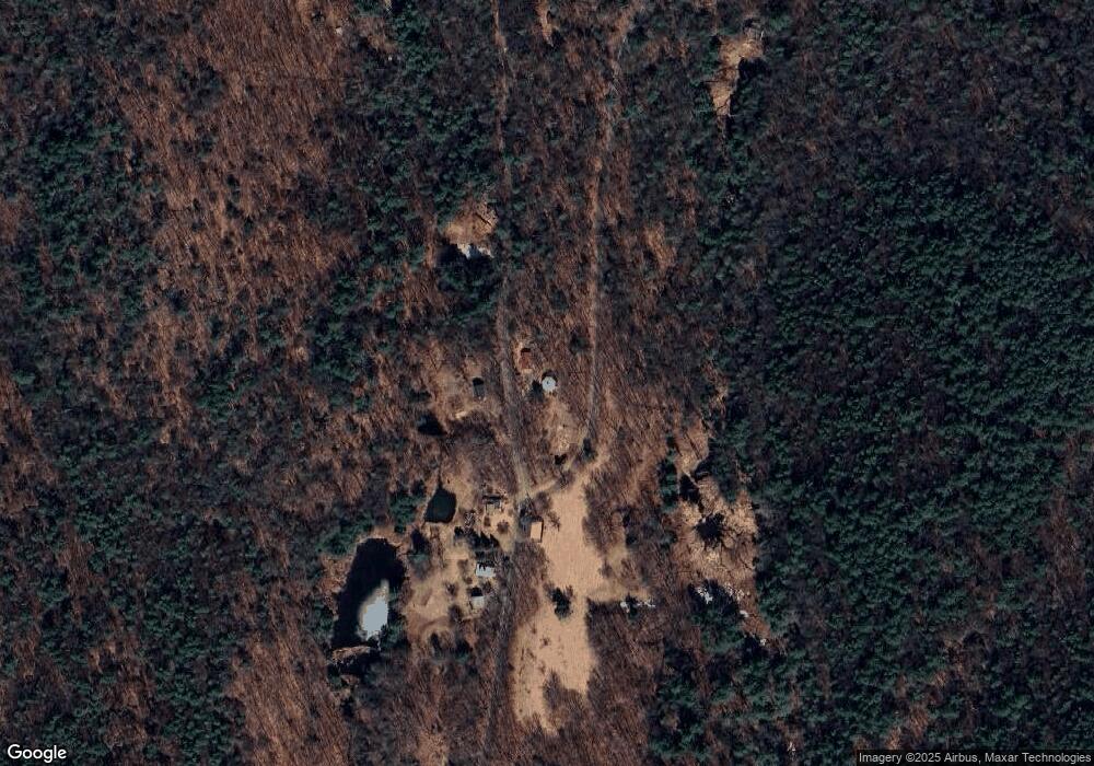
26 Barnes Branch Rd Shelburne Falls, MA 01370
Ashfield NeighborhoodEstimated Value: $399,848 - $594,000
3
Beds
2
Baths
2,008
Sq Ft
$235/Sq Ft
Est. Value
About This Home
This home is located at 26 Barnes Branch Rd, Shelburne Falls, MA 01370 and is currently estimated at $471,212, approximately $234 per square foot. 26 Barnes Branch Rd is a home with nearby schools including Mohawk Trail Regional High School.
Ownership History
Date
Name
Owned For
Owner Type
Purchase Details
Closed on
Jun 29, 2018
Sold by
Groman Carole R
Bought by
Fedorjaczenko Alexis G and Nelson Christopher S
Current Estimated Value
Home Financials for this Owner
Home Financials are based on the most recent Mortgage that was taken out on this home.
Original Mortgage
$146,000
Outstanding Balance
$108,199
Interest Rate
4.6%
Mortgage Type
New Conventional
Estimated Equity
$363,013
Purchase Details
Closed on
Aug 27, 2003
Sold by
Baskowski Stephen F
Bought by
Groman Carole R
Home Financials for this Owner
Home Financials are based on the most recent Mortgage that was taken out on this home.
Original Mortgage
$78,950
Interest Rate
5.69%
Mortgage Type
Purchase Money Mortgage
Purchase Details
Closed on
Nov 18, 1986
Bought by
Groman Carole R
Create a Home Valuation Report for This Property
The Home Valuation Report is an in-depth analysis detailing your home's value as well as a comparison with similar homes in the area
Home Values in the Area
Average Home Value in this Area
Purchase History
| Date | Buyer | Sale Price | Title Company |
|---|---|---|---|
| Fedorjaczenko Alexis G | $246,000 | -- | |
| Groman Carole R | -- | -- | |
| Groman Carole R | $11,000 | -- |
Source: Public Records
Mortgage History
| Date | Status | Borrower | Loan Amount |
|---|---|---|---|
| Open | Fedorjaczenko Alexis G | $146,000 | |
| Previous Owner | Groman Carole R | $89,000 | |
| Previous Owner | Groman Carole R | $78,950 | |
| Previous Owner | Groman Carole R | $73,000 |
Source: Public Records
Tax History Compared to Growth
Tax History
| Year | Tax Paid | Tax Assessment Tax Assessment Total Assessment is a certain percentage of the fair market value that is determined by local assessors to be the total taxable value of land and additions on the property. | Land | Improvement |
|---|---|---|---|---|
| 2025 | $4,696 | $348,900 | $94,800 | $254,100 |
| 2024 | $4,813 | $329,400 | $94,800 | $234,600 |
| 2023 | $4,830 | $274,300 | $76,500 | $197,800 |
| 2022 | $4,644 | $267,200 | $73,000 | $194,200 |
| 2021 | $4,129 | $249,500 | $73,000 | $176,500 |
| 2020 | $4,157 | $249,500 | $73,000 | $176,500 |
| 2019 | $4,549 | $265,100 | $85,400 | $179,700 |
| 2018 | $4,554 | $265,100 | $85,400 | $179,700 |
| 2017 | $4,363 | $269,000 | $84,500 | $184,500 |
| 2016 | $4,174 | $253,900 | $84,500 | $169,400 |
| 2015 | $4,055 | $253,900 | $84,500 | $169,400 |
| 2014 | $4,017 | $248,600 | $77,100 | $171,500 |
Source: Public Records
Map
Nearby Homes
- 0 Ashfield Rd
- 0 Upper St
- 7 Hog Hollow Rd
- 156 Ashfield Rd
- 240 Beldingville Rd
- 102 Elm St
- 10 Deerfield Ave Unit 5
- 10 Deerfield Ave Unit 2
- 33 Williams St
- 220 Hawley Rd
- 105 - 107 Bridge St
- 85 Dacey Rd
- lot 1 Shelburne Falls Rd
- 2151 Route 2
- 31 W Oxbow Rd
- 2155 Massachusetts 2
- 24 W Oxbow Rd
- 143 Charlemont Rd
- 0 Old Stage Rd Unit 73326639
- 473 N Poland Rd
