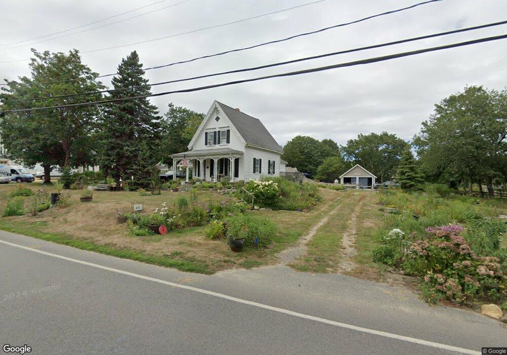
26 Beach Rd Orleans, MA 02653
Estimated Value: $622,000 - $1,027,000
4
Beds
2
Baths
1,583
Sq Ft
$559/Sq Ft
Est. Value
About This Home
This home is located at 26 Beach Rd, Orleans, MA 02653 and is currently estimated at $885,469, approximately $559 per square foot. 26 Beach Rd is a home located in Barnstable County with nearby schools including Orleans Elementary School, Nauset Regional Middle School, and Nauset Regional High School.
Ownership History
Date
Name
Owned For
Owner Type
Purchase Details
Closed on
Jul 23, 2025
Sold by
Koepp Stephen J and Koepp Leila
Bought by
26 Beach Llc
Current Estimated Value
Purchase Details
Closed on
Oct 16, 1989
Sold by
Ahern Thomas J
Bought by
Kolpp Stephen J
Home Financials for this Owner
Home Financials are based on the most recent Mortgage that was taken out on this home.
Original Mortgage
$127,000
Interest Rate
10.13%
Mortgage Type
Purchase Money Mortgage
Create a Home Valuation Report for This Property
The Home Valuation Report is an in-depth analysis detailing your home's value as well as a comparison with similar homes in the area
Home Values in the Area
Average Home Value in this Area
Purchase History
| Date | Buyer | Sale Price | Title Company |
|---|---|---|---|
| 26 Beach Llc | -- | -- | |
| 26 Beach Llc | -- | -- | |
| Kolpp Stephen J | $159,000 | -- | |
| Kolpp Stephen J | $159,000 | -- |
Source: Public Records
Mortgage History
| Date | Status | Borrower | Loan Amount |
|---|---|---|---|
| Previous Owner | Kolpp Stephen J | $122,700 | |
| Previous Owner | Kolpp Stephen J | $127,000 |
Source: Public Records
Tax History
| Year | Tax Paid | Tax Assessment Tax Assessment Total Assessment is a certain percentage of the fair market value that is determined by local assessors to be the total taxable value of land and additions on the property. | Land | Improvement |
|---|---|---|---|---|
| 2025 | $5,236 | $839,100 | $301,600 | $537,500 |
| 2024 | $4,953 | $772,700 | $295,700 | $477,000 |
| 2023 | $4,399 | $706,100 | $273,800 | $432,300 |
| 2022 | $3,985 | $553,500 | $248,900 | $304,600 |
| 2021 | $178 | $493,000 | $243,100 | $249,900 |
| 2020 | $3,776 | $499,500 | $254,200 | $245,300 |
| 2019 | $3,451 | $466,400 | $225,600 | $240,800 |
| 2018 | $3,002 | $452,800 | $221,300 | $231,500 |
| 2017 | $2,800 | $442,400 | $221,300 | $221,100 |
| 2016 | $2,817 | $436,100 | $219,400 | $216,700 |
| 2015 | $2,667 | $415,400 | $204,900 | $210,500 |
Source: Public Records
Map
Nearby Homes
- 22 Nauset Farms Private Way
- 216 Main St
- 7 Brick Hill Ext Rd
- 7 Brick Hill Rd
- 110 Beach Rd
- 22 Karen Way
- 25 Pleasant View Dr
- 15 Dale Ann Dr
- 80 Briar Spring Rd
- 43 Old Duck Hole Rd
- 19 Monument Rd
- 6 Apple Way
- 63 Briar Spring Rd
- 44 Tonset Rd
- 13 S Orleans Rd Unit 28
- 13 S Orleans Rd Unit 42
- 64 Pershing Ln
- 343 Tonset Rd
- 320 State Hwy
- 47 Daley Terrace
- 11 Nauset Farms Private Way Unit 6
- 5 Nauset Farms Private Way
- 3 Nauset Farms Private Way Unit 2
- 3 Nauset Farms Private Way
- 1 Nauset Farm Way Unit 1
- 3 Nauset Farms Unit 3
- 4 Nauset Farm Way
- 22 Beach Rd
- 27 Beach Rd
- 8 Nauset Farm Way
- 3 Mill Ln
- 16 Beach Rd
- 12 Nauset Farm Way
- 12 Nauset Farms Private Way
- 38 Beach Rd
- 35 Beach Rd
- 9 Nauset Farms Private Way
- 24 Beach Rd Unit 4
- 24 Beach Rd Unit 3
- 24 Beach Rd Unit 2
Your Personal Tour Guide
Ask me questions while you tour the home.