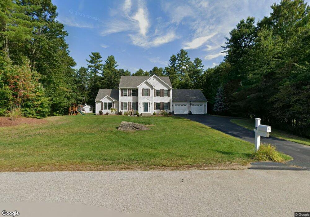
26 Blacksmith Ln Hollis, NH 03049
Hollis NeighborhoodEstimated Value: $758,000 - $1,149,000
3
Beds
3
Baths
2,284
Sq Ft
$399/Sq Ft
Est. Value
About This Home
This home is located at 26 Blacksmith Ln, Hollis, NH 03049 and is currently estimated at $911,053, approximately $398 per square foot. 26 Blacksmith Ln is a home with nearby schools including Hollis Primary School, Hollis Upper Elementary School, and Hollis-Brookline Middle School.
Ownership History
Date
Name
Owned For
Owner Type
Purchase Details
Closed on
Oct 20, 2021
Sold by
Tavano Matthew E and Tavano Elizabeth S
Bought by
Tavano Ft
Current Estimated Value
Create a Home Valuation Report for This Property
The Home Valuation Report is an in-depth analysis detailing your home's value as well as a comparison with similar homes in the area
Home Values in the Area
Average Home Value in this Area
Purchase History
| Date | Buyer | Sale Price | Title Company |
|---|---|---|---|
| Tavano Ft | -- | None Available |
Source: Public Records
Tax History Compared to Growth
Tax History
| Year | Tax Paid | Tax Assessment Tax Assessment Total Assessment is a certain percentage of the fair market value that is determined by local assessors to be the total taxable value of land and additions on the property. | Land | Improvement |
|---|---|---|---|---|
| 2024 | $13,283 | $749,200 | $302,300 | $446,900 |
| 2023 | $12,482 | $749,200 | $302,300 | $446,900 |
| 2022 | $16,909 | $749,200 | $302,300 | $446,900 |
| 2021 | $10,969 | $483,200 | $195,800 | $287,400 |
| 2020 | $11,201 | $483,200 | $195,800 | $287,400 |
| 2019 | $11,162 | $483,200 | $195,800 | $287,400 |
| 2018 | $10,058 | $483,200 | $195,800 | $287,400 |
| 2017 | $10,119 | $437,100 | $170,500 | $266,600 |
| 2016 | $10,241 | $437,100 | $170,500 | $266,600 |
| 2015 | $10,062 | $437,100 | $170,500 | $266,600 |
| 2014 | $10,110 | $437,100 | $170,500 | $266,600 |
| 2013 | $9,945 | $435,800 | $170,500 | $265,300 |
Source: Public Records
Map
Nearby Homes
- 28 Blacksmith Ln
- 22 Blacksmith Ln
- 29 Blacksmith Ln
- 20 Blacksmith Ln
- Lot 61022 Blacksmith Ln
- 21 Sawmill Rd
- 27 Blacksmith Ln
- 23 Blacksmith Ln
- 34 Blacksmith Ln
- 18 Sawmill Rd
- 20 Sawmill Rd
- Lot 10 Sawmill Rd
- Lot 5 Sawmill Rd
- 10 Saw Mill Rd
- 14 Sawmill Rd
- 13 Blacksmith Ln
- 6 Blacksmith Ln
- 21 (lot) Blacksmith Rd
- 12 Sawmill Rd
- 32 Blacksmith Ln