Estimated Value: $561,000 - $768,000
2
Beds
2
Baths
2,665
Sq Ft
$241/Sq Ft
Est. Value
About This Home
This home is located at 26 Boyce Rd, Weare, NH 03281 and is currently estimated at $641,833, approximately $240 per square foot. 26 Boyce Rd is a home with nearby schools including Center Woods Elementary School, Weare Middle School, and John Stark Regional High School.
Ownership History
Date
Name
Owned For
Owner Type
Purchase Details
Closed on
Aug 31, 2006
Sold by
Forde Paula J
Bought by
Lawton Glenn M and Lawton Jacqueline M
Current Estimated Value
Home Financials for this Owner
Home Financials are based on the most recent Mortgage that was taken out on this home.
Original Mortgage
$332,000
Outstanding Balance
$196,970
Interest Rate
6.83%
Mortgage Type
Purchase Money Mortgage
Estimated Equity
$444,863
Purchase Details
Closed on
Jul 29, 2002
Sold by
Boyce Rt
Bought by
Anderson Christopher
Home Financials for this Owner
Home Financials are based on the most recent Mortgage that was taken out on this home.
Original Mortgage
$291,000
Interest Rate
6.73%
Create a Home Valuation Report for This Property
The Home Valuation Report is an in-depth analysis detailing your home's value as well as a comparison with similar homes in the area
Home Values in the Area
Average Home Value in this Area
Purchase History
| Date | Buyer | Sale Price | Title Company |
|---|---|---|---|
| Lawton Glenn M | $415,000 | -- | |
| Anderson Christopher | $300,000 | -- |
Source: Public Records
Mortgage History
| Date | Status | Borrower | Loan Amount |
|---|---|---|---|
| Open | Anderson Christopher | $332,000 | |
| Previous Owner | Anderson Christopher | $291,000 |
Source: Public Records
Tax History
| Year | Tax Paid | Tax Assessment Tax Assessment Total Assessment is a certain percentage of the fair market value that is determined by local assessors to be the total taxable value of land and additions on the property. | Land | Improvement |
|---|---|---|---|---|
| 2025 | $9,857 | $455,500 | $103,100 | $352,400 |
| 2024 | $9,288 | $455,500 | $103,100 | $352,400 |
| 2023 | $8,887 | $471,700 | $103,100 | $368,600 |
| 2022 | $8,208 | $471,700 | $103,100 | $368,600 |
| 2021 | $8,113 | $471,700 | $103,100 | $368,600 |
| 2020 | $8,217 | $343,100 | $84,900 | $258,200 |
| 2019 | $8,135 | $343,100 | $84,900 | $258,200 |
| 2018 | $7,710 | $334,800 | $84,900 | $249,900 |
| 2016 | $7,489 | $334,800 | $84,900 | $249,900 |
| 2015 | $7,194 | $321,000 | $75,900 | $245,100 |
| 2014 | $7,129 | $321,000 | $75,900 | $245,100 |
| 2013 | $6,982 | $321,000 | $75,900 | $245,100 |
Source: Public Records
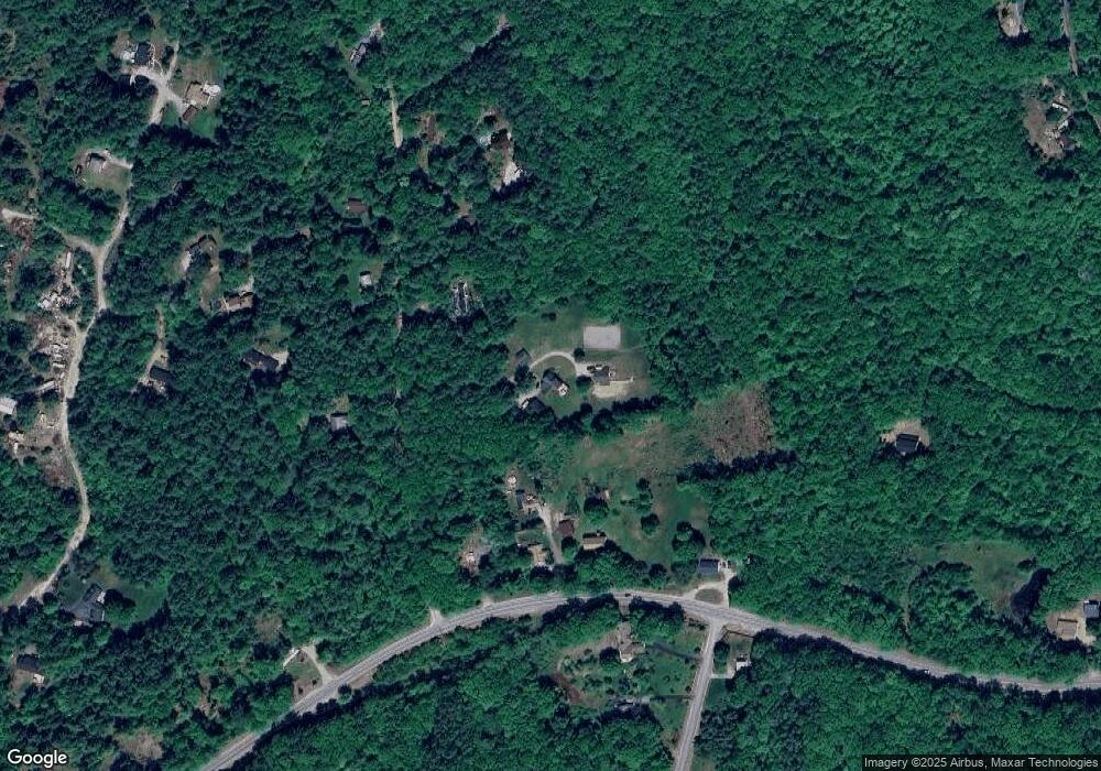
Map
Nearby Homes
- 40 N Woods Rd
- 0 Als Dr Unit 196
- 131 Cross Rd
- 732 Concord Stage Rd Unit 7
- 66 Winslow Rd
- 311 S Sugar Hill Rd
- 464 Irish Hill Rd
- 541 South Rd
- 14-2 Jewett Rd
- 236 Walker Hill Rd
- 71 Overlook Dr
- 36 Old Henniker Rd
- 1583 River Rd
- 592 Page Rd
- 42 Rockland Rd
- 69 Peaslee Hill Rd
- 0 Huntington Hill Rd Unit 69
- 192 Grapevine Rd
- 1003 School St
- 8 Longview Dr
- 1135 Concord Stage Rd
- 1133 Concord Stage Rd
- 1127 Concord Stage Rd
- 21 Boyce Rd
- 1149 Concord Stage Rd
- 48 Boyce Rd
- 113 Blake Rd
- 110 Blake Rd
- 96 Blake Rd
- 5 Sherwood Forest Rd
- 99 Blake Rd
- 59 Boyce Rd
- 80 Blake Rd
- 18 Sherwood Forest Rd
- 14 Davis Rd
- 22 Davis Rd
- 32 Davis Rd Unit 1
- 32 Davis Rd Unit A
- 58 Blake Rd
- 30 Sherwood Forest Rd
Your Personal Tour Guide
Ask me questions while you tour the home.