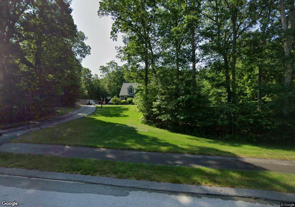
26 Brieann Dr Merrimack, NH 03054
Estimated Value: $907,896 - $1,315,000
5
Beds
4
Baths
3,479
Sq Ft
$313/Sq Ft
Est. Value
About This Home
This home is located at 26 Brieann Dr, Merrimack, NH 03054 and is currently estimated at $1,089,474, approximately $313 per square foot. 26 Brieann Dr is a home located in Hillsborough County with nearby schools including Reeds Ferry School, Merrimack Middle School, and James Mastricola Upper Elementary School.
Ownership History
Date
Name
Owned For
Owner Type
Purchase Details
Closed on
Dec 8, 2011
Sold by
Maturah Sean
Bought by
Page Bradford W and Page Karla M
Current Estimated Value
Home Financials for this Owner
Home Financials are based on the most recent Mortgage that was taken out on this home.
Original Mortgage
$412,250
Interest Rate
4.09%
Mortgage Type
Purchase Money Mortgage
Purchase Details
Closed on
Mar 13, 2007
Sold by
Bean Road Rlty
Bought by
Maturah Sean and Maturah Christine
Create a Home Valuation Report for This Property
The Home Valuation Report is an in-depth analysis detailing your home's value as well as a comparison with similar homes in the area
Home Values in the Area
Average Home Value in this Area
Purchase History
| Date | Buyer | Sale Price | Title Company |
|---|---|---|---|
| Page Bradford W | $485,000 | -- | |
| Maturah Sean | $165,000 | -- |
Source: Public Records
Mortgage History
| Date | Status | Borrower | Loan Amount |
|---|---|---|---|
| Open | Maturah Sean | $397,500 | |
| Closed | Maturah Sean | $350,000 | |
| Closed | Maturah Sean | $412,250 | |
| Previous Owner | Maturah Sean | $100,000 |
Source: Public Records
Tax History Compared to Growth
Tax History
| Year | Tax Paid | Tax Assessment Tax Assessment Total Assessment is a certain percentage of the fair market value that is determined by local assessors to be the total taxable value of land and additions on the property. | Land | Improvement |
|---|---|---|---|---|
| 2024 | $14,729 | $711,900 | $286,900 | $425,000 |
| 2023 | $13,846 | $711,900 | $286,900 | $425,000 |
| 2022 | $12,373 | $711,900 | $286,900 | $425,000 |
| 2021 | $12,223 | $711,900 | $286,900 | $425,000 |
| 2020 | $13,428 | $558,100 | $202,900 | $355,200 |
| 2019 | $12,914 | $535,200 | $202,900 | $332,300 |
| 2018 | $12,909 | $535,200 | $202,900 | $332,300 |
| 2017 | $12,508 | $535,200 | $202,900 | $332,300 |
| 2016 | $12,197 | $535,200 | $202,900 | $332,300 |
| 2015 | $11,520 | $466,000 | $175,900 | $290,100 |
| 2014 | $11,226 | $466,000 | $175,900 | $290,100 |
| 2013 | $11,142 | $466,000 | $175,900 | $290,100 |
Source: Public Records
Map
Nearby Homes
- 24 Brieann Dr
- 28 Brieann Dr
- 27 Brieann Dr
- 20 Brieann Dr
- 25 Brieann Dr
- 30 Brieann Dr
- 11 Jefferson Dr
- 23 Brieann Dr
- 18 Brieann Dr
- 32 Brieann Dr
- 10 Jefferson Dr
- 21 Brieann Dr
- Lot 274 Brieann Dr
- Lot 268 Brieann Dr
- 9 Jefferson Dr
- 5 Dumas Ln
- 21 West Rd Unit 6B/121-1
- 19 West Rd
- 8 Jefferson Dr
- 19 Brieann Dr