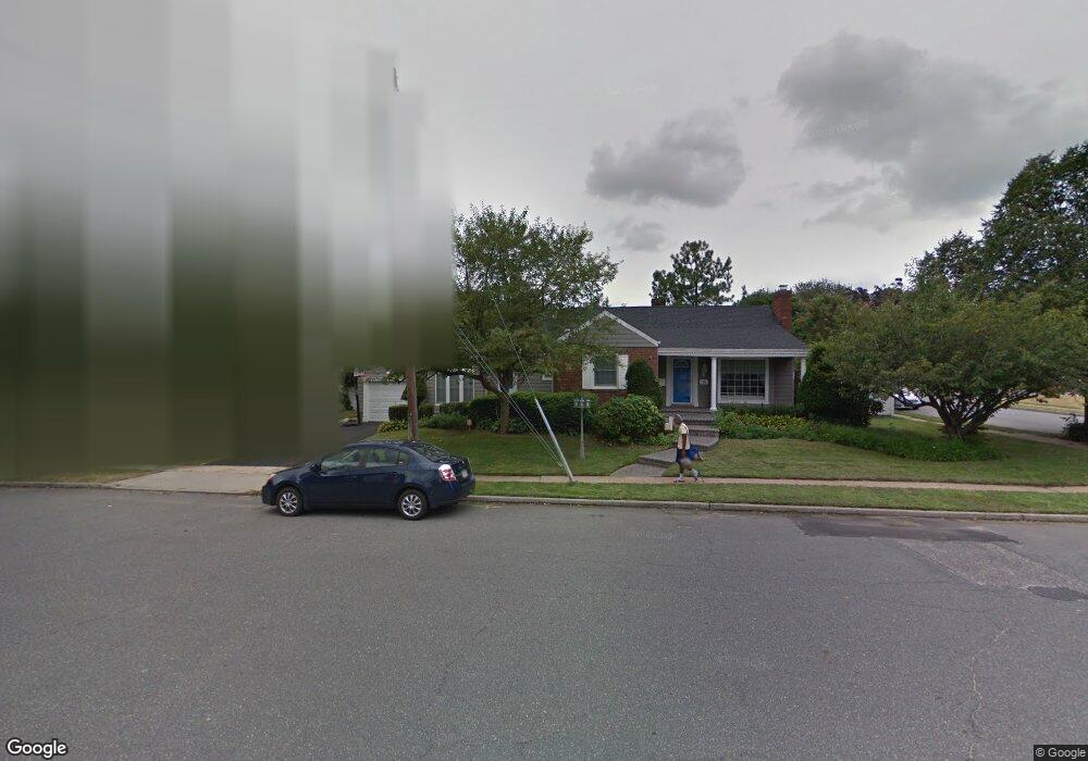
26 Brookside Dr North Baldwin, NY 11510
Estimated Value: $581,000 - $658,417
--
Bed
1
Bath
1,333
Sq Ft
$465/Sq Ft
Est. Value
About This Home
This home is located at 26 Brookside Dr, North Baldwin, NY 11510 and is currently estimated at $619,709, approximately $464 per square foot. 26 Brookside Dr is a home located in Nassau County with nearby schools including Baldwin Senior High School.
Ownership History
Date
Name
Owned For
Owner Type
Purchase Details
Closed on
Jun 22, 2007
Sold by
Keiley Danielle
Bought by
Mullen Salamah
Current Estimated Value
Purchase Details
Closed on
Dec 3, 2002
Sold by
Shannon Edmund
Bought by
Keiley Danielle
Purchase Details
Closed on
Jun 26, 2001
Sold by
Singh Jasjat
Bought by
Kim Joo Yankim
Purchase Details
Closed on
Jun 20, 2001
Sold by
Morgan Felice C
Bought by
Shannon Edmund and Shannon Tiffany
Create a Home Valuation Report for This Property
The Home Valuation Report is an in-depth analysis detailing your home's value as well as a comparison with similar homes in the area
Home Values in the Area
Average Home Value in this Area
Purchase History
| Date | Buyer | Sale Price | Title Company |
|---|---|---|---|
| Mullen Salamah | $365,000 | -- | |
| Keiley Danielle | $265,000 | -- | |
| Kim Joo Yankim | $500,000 | -- | |
| Shannon Edmund | $234,000 | William Kerwick |
Source: Public Records
Tax History Compared to Growth
Tax History
| Year | Tax Paid | Tax Assessment Tax Assessment Total Assessment is a certain percentage of the fair market value that is determined by local assessors to be the total taxable value of land and additions on the property. | Land | Improvement |
|---|---|---|---|---|
| 2025 | $11,559 | $410 | $169 | $241 |
| 2024 | $3,252 | $410 | $169 | $241 |
| 2023 | $10,765 | $410 | $169 | $241 |
| 2022 | $10,957 | $410 | $169 | $241 |
| 2021 | $11,143 | $398 | $164 | $234 |
| 2020 | $11,035 | $643 | $545 | $98 |
| 2019 | $3,332 | $643 | $545 | $98 |
| 2018 | $7,016 | $643 | $0 | $0 |
| 2017 | $6,242 | $643 | $545 | $98 |
| 2016 | $9,340 | $643 | $496 | $147 |
| 2015 | $2,941 | $643 | $496 | $147 |
| 2014 | $2,941 | $643 | $496 | $147 |
| 2013 | $3,024 | $706 | $545 | $161 |
Source: Public Records
Map
Nearby Homes
- 2 Florence St
- 669 Seaman Ave
- 15 Mckenna Ave
- 578 Seaman Ave
- 2 Twain St
- 569 Seaman Ave
- 1900 Carleton Place
- 1905 Bryant Place
- 1869 Harte St
- 2100 Ambrose Ct
- 1887 Bryant Place
- 610 Emerson Ave
- 1850 Voshage St
- 0 Edna Ct
- 345 W Seaman Ave
- 2 Maple Grove Ct
- 1874 Rockville Dr
- 549 Emerson Ave
- 215 N Brookside Ave
- 19 Meadow Ln