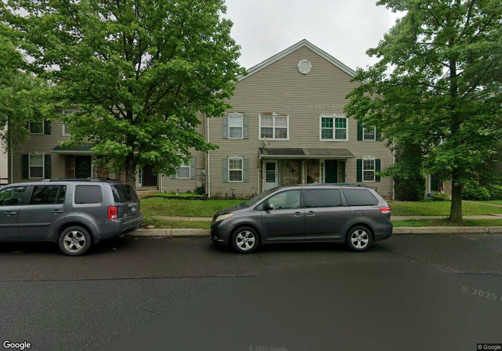
26 Bryant Dr Perkasie, PA 18944
East Rockhill NeighborhoodEstimated Value: $377,000 - $424,000
3
Beds
3
Baths
1,710
Sq Ft
$232/Sq Ft
Est. Value
About This Home
This home is located at 26 Bryant Dr, Perkasie, PA 18944 and is currently estimated at $396,539, approximately $231 per square foot. 26 Bryant Dr is a home located in Bucks County with nearby schools including Pennridge High School, Upper Bucks Christian School, and Community Service Foundation.
Ownership History
Date
Name
Owned For
Owner Type
Purchase Details
Closed on
Oct 30, 2006
Sold by
Dechant Keith A and Dechant Lisa A
Bought by
Demoss Thomas G and Demoss Meganne
Current Estimated Value
Home Financials for this Owner
Home Financials are based on the most recent Mortgage that was taken out on this home.
Original Mortgage
$253,750
Outstanding Balance
$151,105
Interest Rate
6.33%
Mortgage Type
Purchase Money Mortgage
Estimated Equity
$245,434
Create a Home Valuation Report for This Property
The Home Valuation Report is an in-depth analysis detailing your home's value as well as a comparison with similar homes in the area
Home Values in the Area
Average Home Value in this Area
Purchase History
| Date | Buyer | Sale Price | Title Company |
|---|---|---|---|
| Demoss Thomas G | $250,000 | None Available |
Source: Public Records
Mortgage History
| Date | Status | Borrower | Loan Amount |
|---|---|---|---|
| Open | Demoss Thomas G | $253,750 |
Source: Public Records
Tax History Compared to Growth
Tax History
| Year | Tax Paid | Tax Assessment Tax Assessment Total Assessment is a certain percentage of the fair market value that is determined by local assessors to be the total taxable value of land and additions on the property. | Land | Improvement |
|---|---|---|---|---|
| 2025 | $4,262 | $24,360 | $3,520 | $20,840 |
| 2024 | $4,262 | $24,360 | $3,520 | $20,840 |
| 2023 | $4,213 | $24,360 | $3,520 | $20,840 |
| 2022 | $4,213 | $24,360 | $3,520 | $20,840 |
| 2021 | $4,213 | $24,360 | $3,520 | $20,840 |
| 2020 | $4,213 | $24,360 | $3,520 | $20,840 |
| 2019 | $4,188 | $24,360 | $3,520 | $20,840 |
| 2018 | $4,140 | $24,360 | $3,520 | $20,840 |
| 2017 | $4,109 | $24,360 | $3,520 | $20,840 |
| 2016 | $4,109 | $24,360 | $3,520 | $20,840 |
| 2015 | -- | $24,360 | $3,520 | $20,840 |
| 2014 | -- | $24,360 | $3,520 | $20,840 |
Source: Public Records
Map
Nearby Homes
- 28 Bryant Dr
- 584 Campus Dr
- 137 Sunnyside Ln
- 512 Campus Dr
- 44 Deer Run Rd
- 1118 N 5th St
- 1229 N Ridge Rd
- 1032 N 7th St
- 2004 Evergreen Dr
- 258 N 4th St
- Woodford Plan at Everleigh Woods
- Manchester Plan at Everleigh Woods
- Arcadia Plan at Everleigh Woods
- Parker Plan at Everleigh Woods
- Sebastian Plan at Everleigh Woods
- Hawthorne Plan at Everleigh Woods
- Kipling Plan at Everleigh Woods
- Magnolia Plan at Everleigh Woods
- Savannah Plan at Everleigh Woods
- Ethan Plan at Everleigh Woods