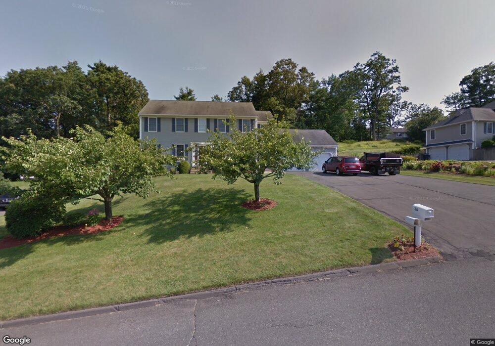
26 Cardinal Ln Westfield, MA 01085
Estimated Value: $581,885 - $650,000
4
Beds
3
Baths
2,600
Sq Ft
$237/Sq Ft
Est. Value
About This Home
This home is located at 26 Cardinal Ln, Westfield, MA 01085 and is currently estimated at $616,971, approximately $237 per square foot. 26 Cardinal Ln is a home located in Hampden County with nearby schools including Westfield High School and Saint Mary High School.
Ownership History
Date
Name
Owned For
Owner Type
Purchase Details
Closed on
Apr 18, 2013
Sold by
Powers John and Rising Joanne
Bought by
Powers John and Powers Joanne
Current Estimated Value
Home Financials for this Owner
Home Financials are based on the most recent Mortgage that was taken out on this home.
Original Mortgage
$175,300
Outstanding Balance
$124,018
Interest Rate
3.52%
Mortgage Type
New Conventional
Estimated Equity
$492,953
Purchase Details
Closed on
Dec 14, 1998
Sold by
Westfield Bk
Bought by
Powers John and Rising Joanne
Home Financials for this Owner
Home Financials are based on the most recent Mortgage that was taken out on this home.
Original Mortgage
$179,900
Interest Rate
6.8%
Mortgage Type
Purchase Money Mortgage
Purchase Details
Closed on
Dec 10, 1998
Sold by
Hallmark Dev Corp
Bought by
Westfield Bk
Home Financials for this Owner
Home Financials are based on the most recent Mortgage that was taken out on this home.
Original Mortgage
$179,900
Interest Rate
6.8%
Mortgage Type
Purchase Money Mortgage
Create a Home Valuation Report for This Property
The Home Valuation Report is an in-depth analysis detailing your home's value as well as a comparison with similar homes in the area
Home Values in the Area
Average Home Value in this Area
Purchase History
We collect this data history from publicly available records. To have your information removed, we recommend requesting removal directly through your county’s website.
| Date | Buyer | Sale Price | Title Company |
|---|---|---|---|
| Powers John | -- | -- | |
| Powers John | $199,900 | -- | |
| Westfield Bk | $191,000 | -- |
Source: Public Records
Mortgage History
We collect this data history from publicly available records. To have your information removed, we recommend requesting removal directly through your county’s website.
| Date | Status | Borrower | Loan Amount |
|---|---|---|---|
| Open | Powers John | $175,300 | |
| Previous Owner | Westfield Bk | $179,900 |
Source: Public Records
Tax History
| Year | Tax Paid | Tax Assessment Tax Assessment Total Assessment is a certain percentage of the fair market value that is determined by local assessors to be the total taxable value of land and additions on the property. | Land | Improvement |
|---|---|---|---|---|
| 2025 | $7,803 | $514,000 | $148,200 | $365,800 |
| 2024 | $7,833 | $490,500 | $134,900 | $355,600 |
| 2023 | $7,602 | $447,700 | $128,300 | $319,400 |
| 2022 | $7,335 | $396,700 | $114,500 | $282,200 |
| 2021 | $3,488 | $376,600 | $107,900 | $268,700 |
| 2020 | $6,976 | $362,400 | $107,900 | $254,500 |
| 2019 | $6,822 | $346,800 | $102,700 | $244,100 |
| 2018 | $6,714 | $346,800 | $102,700 | $244,100 |
| 2017 | $6,566 | $338,100 | $104,400 | $233,700 |
| 2016 | $6,573 | $338,100 | $104,400 | $233,700 |
| 2015 | $6,203 | $334,600 | $104,400 | $230,200 |
| 2014 | $4,644 | $334,600 | $104,400 | $230,200 |
Source: Public Records
Map
Nearby Homes
- 149 Shaker Rd
- 57 Falley Dr
- 11 Laurel Terrace
- 17 Wildflower Cir
- 48 Blueberry Ridge
- 42 Gary Dr
- 24 Old Feeding Hills Rd
- 0 Feeding Hills Rd
- 929 Shaker Rd Unit 17
- 24 Jeanne Marie Dr
- 0 E Mountain Rd
- 46 Gloria Dr
- 27 Breighly Way
- 77 Lindbergh Blvd
- 74 Shannon Ln
- 145 Main St
- 46 Woodcliff Dr
- 242 Eastwood Dr
- 20 S Maple St
- 44 Tannery Rd
Your Personal Tour Guide
Ask me questions while you tour the home.