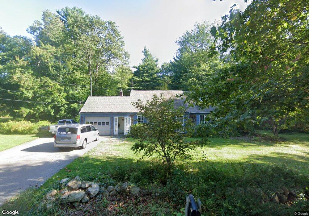
26 Clapp Rd Scituate, MA 02066
Estimated Value: $702,000 - $828,000
3
Beds
1
Bath
1,505
Sq Ft
$506/Sq Ft
Est. Value
About This Home
This home is located at 26 Clapp Rd, Scituate, MA 02066 and is currently estimated at $760,860, approximately $505 per square foot. 26 Clapp Rd is a home located in Plymouth County with nearby schools including Cushing Elementary School, Lester J. Gates Middle School, and Scituate High School.
Ownership History
Date
Name
Owned For
Owner Type
Purchase Details
Closed on
Feb 11, 2020
Sold by
Toppan Ft
Bought by
Toppan Ft
Current Estimated Value
Purchase Details
Closed on
Aug 24, 2010
Sold by
Toppan Peter C and Toppan Nancy S
Bought by
Toppan Ft
Purchase Details
Closed on
Jan 1, 1975
Bought by
Toppan Peter C and Toppan Nancy C
Create a Home Valuation Report for This Property
The Home Valuation Report is an in-depth analysis detailing your home's value as well as a comparison with similar homes in the area
Home Values in the Area
Average Home Value in this Area
Purchase History
| Date | Buyer | Sale Price | Title Company |
|---|---|---|---|
| Toppan Ft | -- | None Available | |
| Toppan Ft | -- | -- | |
| Toppan Peter C | -- | -- |
Source: Public Records
Mortgage History
| Date | Status | Borrower | Loan Amount |
|---|---|---|---|
| Previous Owner | Toppan Peter C | $116,000 | |
| Previous Owner | Toppan Peter C | $174,000 |
Source: Public Records
Tax History Compared to Growth
Tax History
| Year | Tax Paid | Tax Assessment Tax Assessment Total Assessment is a certain percentage of the fair market value that is determined by local assessors to be the total taxable value of land and additions on the property. | Land | Improvement |
|---|---|---|---|---|
| 2025 | $6,297 | $630,300 | $377,900 | $252,400 |
| 2024 | $6,161 | $594,700 | $343,500 | $251,200 |
| 2023 | $5,998 | $538,900 | $312,300 | $226,600 |
| 2022 | $5,854 | $463,900 | $274,000 | $189,900 |
| 2021 | $5,234 | $423,200 | $260,900 | $162,300 |
| 2020 | $5,474 | $405,500 | $250,800 | $154,700 |
| 2019 | $5,031 | $393,900 | $245,900 | $148,000 |
| 2018 | $5,597 | $401,200 | $262,600 | $138,600 |
| 2017 | $5,316 | $377,300 | $238,700 | $138,600 |
| 2016 | $5,167 | $365,400 | $226,800 | $138,600 |
| 2015 | $4,630 | $353,400 | $214,800 | $138,600 |
Source: Public Records
Map
Nearby Homes
- 9 Kyle Path
- 11 Forest Ln
- 9 Forest Ln Unit 9
- 575 First Parish Rd
- 8 Trudys Ln
- 84 Booth Hill Rd
- 0 Bates Ln (Lot E Kevin's Way) Unit 73419598
- 449 Clapp Rd
- 455 Clapp Rd
- 453 Clapp Rd
- 451 Clapp Rd
- 453 - 455 Clapp Rd
- 14 Aberdeen Dr
- 32 Fairview Ave
- 131 Maple St
- 13 Hornbeam Rd
- 116 Old Forge Rd
- 112 Hollett St
- 334 Summer St
- 16 3 Ring Rd